Trail Virgentaler Sonnseitenweg

Sun - as far as the eye can see! ☀

The Virgentaler Sonnseitenweg is, as the name suggests, made for sun worshippers. There is hardly any other long-distance hiking trail that can guarantee you as much sunshine as this one. As part of the hike, you'll roam through several valleys of the Nationalpark Hohe Tauern Osttirol, among which is the sunny village of Virgen.

With its many hours of sunshine, the picturesque village rightly bears this euphonious epithet.

In addition to the warming rays of sunshine that make your cheeks glow, you will also be accompanied on your hike by fresh forest air and pleasant meadow scents.

Water also has a special meaning on the Virgentaler Sonnseitenweg: refreshing mountain streams as well as the thundering waterfalls at the end of the tour bring out the advantages of this element.


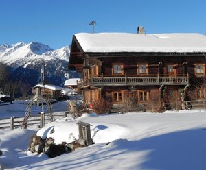
The long-distance hike starts at the tourist information office Matrei in Osttirol at the place Rauterplatz (village center). First you walk on the right side of the stream Bretterwandbach down to the Dammweg. Against the direction of flow of the stream Tauernbach or along the hiking trail Tauerntalwanderweg, you head towards the hamlet of Prossegg (71), which you reach after about 45 minutes. Then you cross the bridge Prosseggbrücke and walk slightly uphill through the rows of houses of the hamlet. At the magnificent Hergott Marterl turn left and follow the signs to the track Thiemeweg (54).
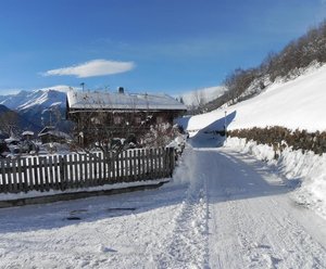
After following the Thiemweg to its end, you descend in a southerly direction for a short distance to the parking space Dirnburg (1.450 m) and further to the mountain village of Zedlach.


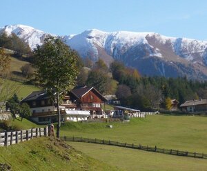
From the parking lot in Zedlach, first take trail no. 42. When you reach the fork in the trail, follow the signposts in the direction of Obersonnberg. At the next fork, choose the Rabsteinweg (35) and again follow the signpost to the Obersonnberg.

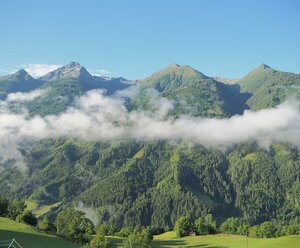
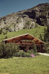
Via the hiking trail, which leads through an enchanting larch and spruce forest, you reach the road to the Lahntaleralm.

After about 200 meters you leave the road and change to the access road to the Obersonnberg. Walk down to the right of the Mellitzgraben and then follow the path up to the Rabenstein ruins.

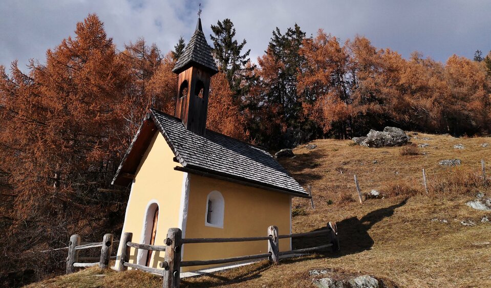
Then take the Rabensteinweg, descend in the district of Göriach and follow the municipal road to Marin. After the parking lot in Marin, follow the signpost no. 16 in the direction of the hut Gottschaunalm (15) via the chapel Allerheiligenkapelle.

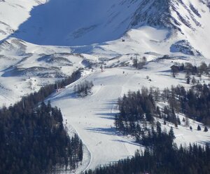
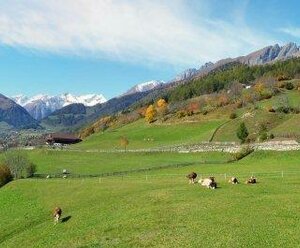
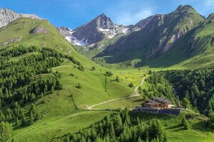
From the hut Gottschaunalm you hike across blooming mountain meadows and the valley kleines Niltal first to the hut Schmiedleralm (34,34b, 2.085 m) and then to the hut Nilljochhütte (1.990 m).


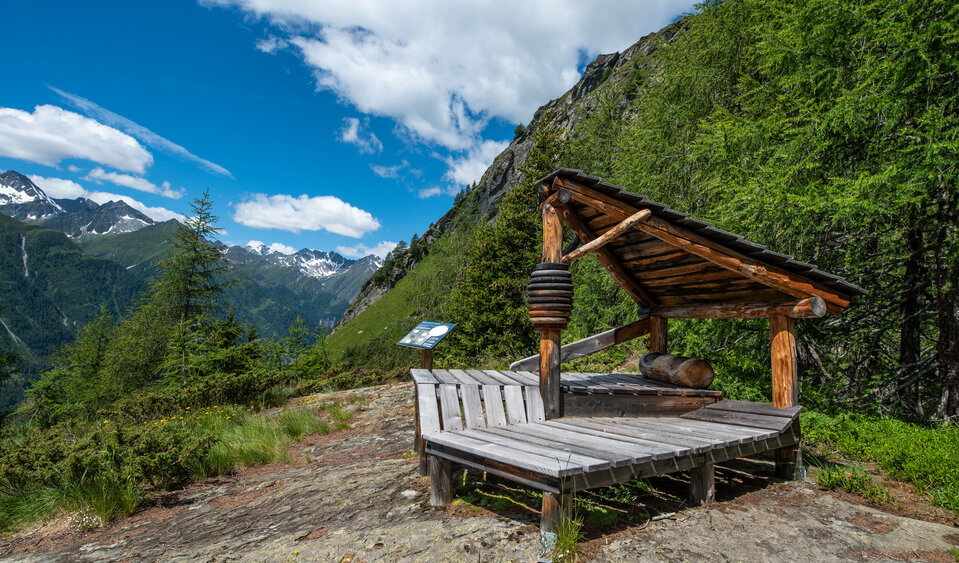
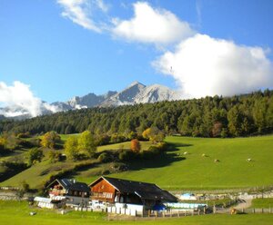
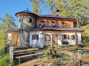
From the Nilljochhütte you hike along a path (20) to the Bodenalm (1,960 m). From there, take the driveway into the vallwy Timmeltal to the Wallhorner Alm. In this area, look out for the so-called "Liegstätten " - the historical resting places of the farmers and follow the circular walk Liegstätten Rundwanderweg Timmelal (28). Turn around again and follow the Wiesachweg (20) in the direction of Bichl. Change to the Katinweg (23) in the direction of the hut Sajathütte. Go via the so-called Hell-Maurach (22a) to the hut Stabanthütte (1.777 m).


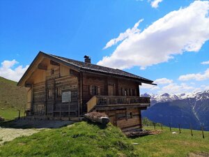
From the Stabanthütte (22) take the road past the Lumalm to Hinterbichl to the inn Gasthof Islitzer. Follow the campsite and cross the Isel river. Proceed to the fork in the road and follow trail no. 67 to Ströden. Cross the pedestrian bridge and walk along the road (911) to the Islitzeralm and Pebellalm.

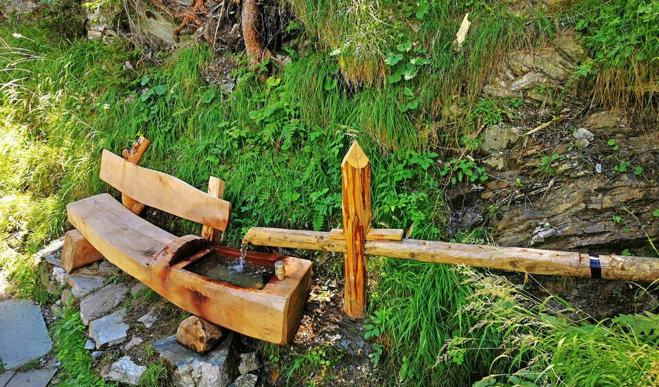
The crowning conclusion of the Virgentaler Sonnseitenweg is the Umbalfälle water show trail. From the wonderful platforms you can enjoy the glory of the element of life.


Impressions

back
Next
The Thiemeweg
The Thiemeweg
provides shade and offers great views of Matrei in Osttirol from many benches.
The chapel on the Sonnberg
is one of the highlights on the tour
The so-called "Liegstätten"
are historic resting places that invite you to linger
The waterfalls Umbalfälle
awaken the fascination for the element of water in young and old alike
state: closed

Trail Virgentaler Sonnseitenweg

starting point:
Prägraten a.Gr.
destination point:
Prägraten a.Gr.
highest point:
2120 m
distance
43.3 km
🔋
altitude meters uphill
2650 hm
🞽
difficulty
average

The stages of the trail Virgentaler Sonnseitenweg

Always keep an eye on the imposing peaks of the mountain chains Venedigergruppe and Lasörlinggruppe on the 43.3 km long hike - even if the sun blinds you from time to time. ☀

Trail Virgentaler Sonnseitenweg Stage 1

starting point:
Tourist information Matrei in Osttirol
destination point:
Zedlach mountain village
total walking time
4:45 h
distance
10.8 km
🔋
altitude meters uphill
610 hm
🞽
difficulty
average

Trail Virgentaler Sonnseitenweg Stage 2

starting point:
Zedlach mountain village
destination point:
Hut Nilljochhütte
highest point:
2100 m
total walking time
6:15 h
distance
12.3 km
🔋
altitude meters uphill
1130 hm
🞽
difficulty
average

Trail Virgentaler Sonnseitenweg Stage 3

starting point:
Hut Nilljochhütte
destination point:
Hut Stabanthütte
highest point:
2120 m
total walking time
5 h
distance
11.2 km
🔋
altitude meters uphill
580 hm
🞽
difficulty
average

Trail Virgentaler Sonnseitenweg Stage 4

starting point:
Hut Stabanthütte
destination point:
Water trail Umbalfälle
highest point:
1770 m
total walking time
3:30 h
distance
9.2 km
🔋
altitude meters uphill
340 hm
🞽
difficulty
average

Overnight stays at the Virgentaler Sonnseitenweg

Whether in a bed and breakfast, an apartment or on a farm in the mountain village of Zedlach - you will have wonderful dreams of your hike everywhere. And also in the room or in the camp at the hut you will slumber comfortably.

infrastructure.name
infrastructure.name
Stabanthütte 1.777m
St. Andrä 60 a
9974 Prägraten a.G.

Additional refreshment stops at mountain huts

The huts and alpine pastures along the way offer a wide range of regional, often homemade products, which are processed into typical Tyrolean dishes.

infrastructure.name
Gottschaunalm 1.946m
infrastructure.name
Islitzer Alm 1.513m
9974 Prägraten am Grossvenediger
infrastructure.name
Schmiedleralm 2.100m
Guided mountain tours

The mountain guides in Osttirol are the professionals when it comes to a safe, eventful tour to one of the numerous peaks.


Your way to the summit experience

Important information

The huts must be absolutely reserved, because only limited sleeping places are available!
There is no luggage transfer available on the long-distance trail.

Timetable Matrei i.O.Prägraten and back: www.vvt.at
Current weather situation in Osttirol: Osttirol weather
Current trail conditions and information on trail closures: Contact the respective hut host or the tourist information.

Maps and brochures are available at every tourist information office and can also be ordered.

Newsletter

Subscribe to our newsletter and receive the best tips every month for current offers, mountain tours, events and much more.