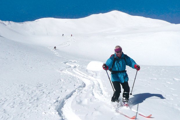
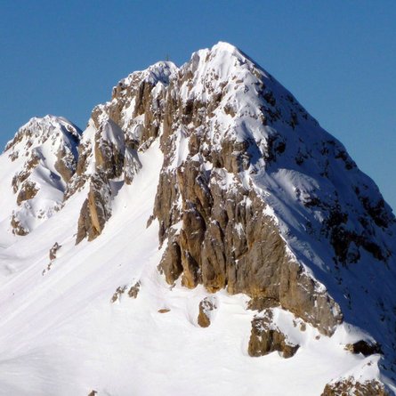
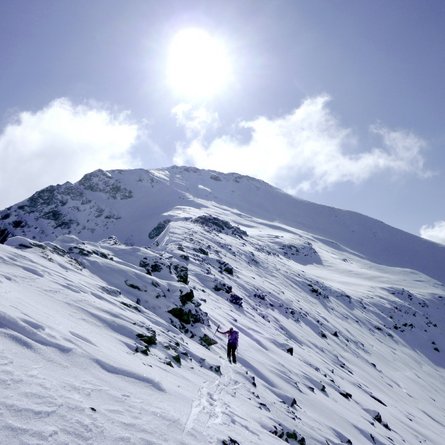
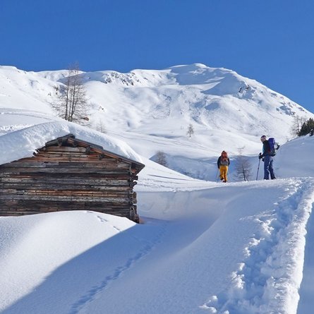
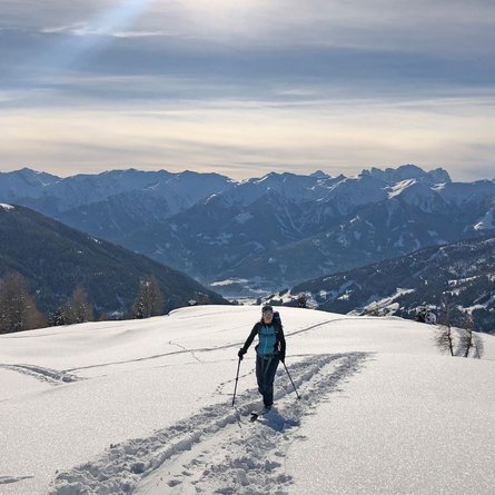
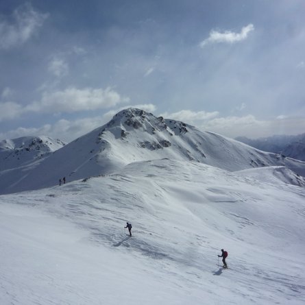
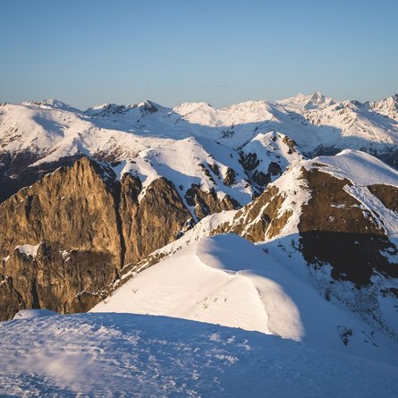
Pass the car park on the route to the Alfenalm until you get to the bridge which has a junction heading to Marchental. Now bear right across Alfental continuing to the end of the valley. Proceed along the following steep slope, in several hairpin bends, until you reach flatter terrain. Continue heading south-west until just before the summit slope of the Gaishörndl, which now becomes steeper. Now proceed either via the steep slope straight on to the summit, or if there is a threat of avalanche, bear left and continue north via flat terrain up to the Gruberlenke. Continue via the north-east ridge to the summit.
Characteristics:
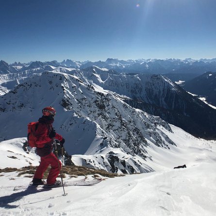
Much visited border area mountain in the touring area of Kalkstein. The tour may be carried out almost daily throughout the winter. Optimum descent gradient and due to the south-east location also a lovely firn snow tour. Lovely view to the Dolomites and into Pustertal and Toblach. Descent: as the ascent.
