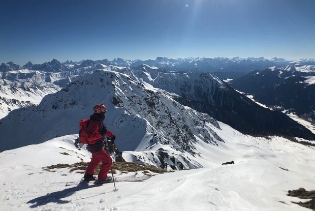
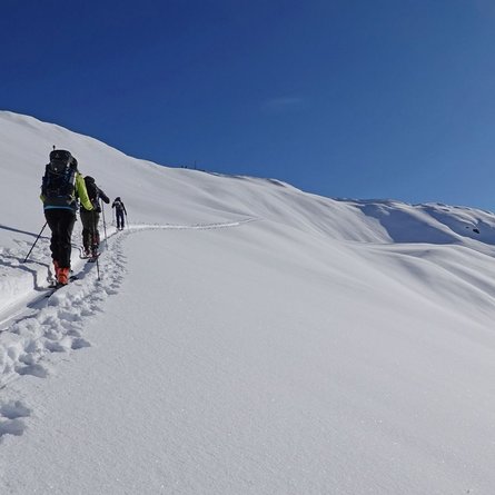
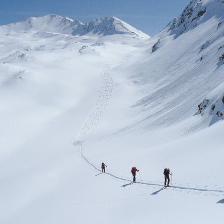
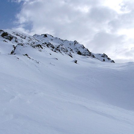
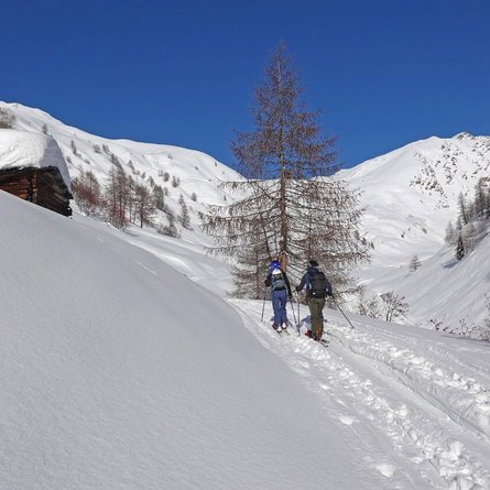
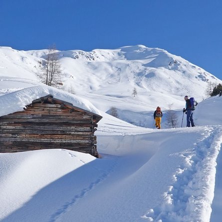
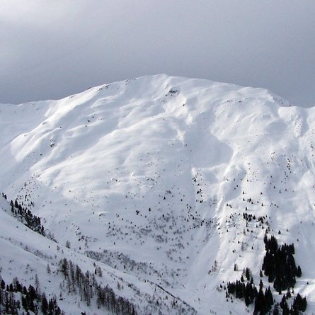
The start is the ski tour car park at the Lüfterhöfe (1,500 m) at the entrance to the Arntal. From the car park, follow the road slightly uphill into the valley to the Unterstalleralm. From there, turn left over a bridge, past an alpine hut and over the steeper larch forest to the alpine road that leads to the Riepenalm (1,924 m). After the Riepenalm, follow the stream across wide alpine pastures up to approx. 2,250 m, where you turn north-westwards to below the Riepenspitze. From there, initially ascend westwards over moderately steep slopes until you turn northwards below the Riepenspitze. Then over moderately ascending slopes to the Schwarzsee area (2455m). From there, the tour turns westwards again and over moderately steep slopes to a saddle. From there, continue south-westwards over hollows to the summit. The last section is very steep and mostly without skis to the highest point of the Riepenspitze (2,774 m)
Descent: As ascent
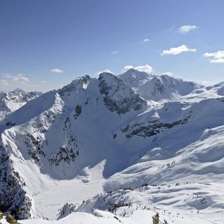
Characteristics: The Riepenspitze is recognisable from the Oberstalleram as a striking rock formation that does not look like it can be climbed on skis. This tour requires experience and should only be undertaken in safe conditions. The steepness and orientation should not be underestimated. From the top you have marvellous views of the Villgrater mountains, the main Alpine ridge and the Lienz and Sesto Dolomites.
