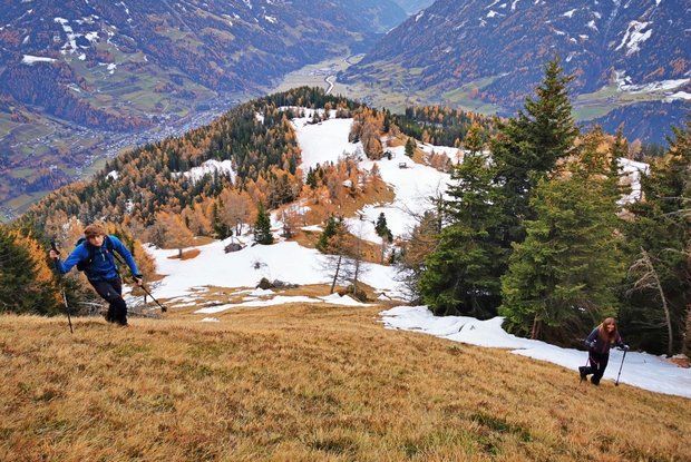
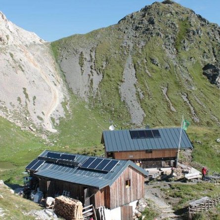
The hike starts at the car park Zedlacher Paradies. From here you can either take the forest road to the Wodenalm, or you go up the narrower trail no. 53C. This trail is shorter, but also steeper. The trail from the Wodenalm is an alpine route and therefore not to be underestimated.
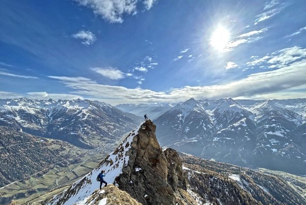
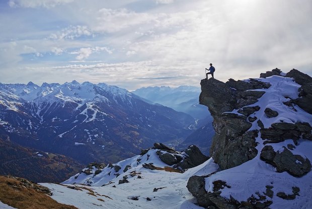
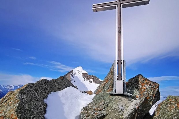
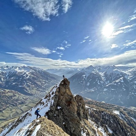
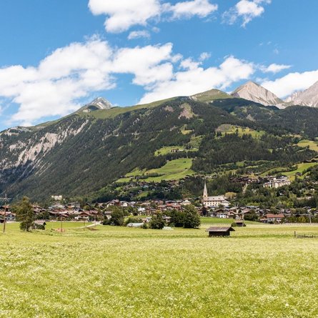
After about 45 minutes you reach the Planlißbichl. The entire Virgental Valley, including the glacier "Malhalm-Kees", lies at your feet. The shimmering silver summit cross already seems very close. On the right side, the view opens up into the deep cracks above Hinteregg. The further path is very steep and only very sparsely marked. The last 50 meters of altitude are mastered over a steep rocky flank. This piece is also partly secured with a steel rope. The summit itself is very small and extremely steep on the back side - danger of falling!
The way back is via the same path.
