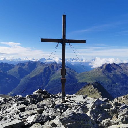
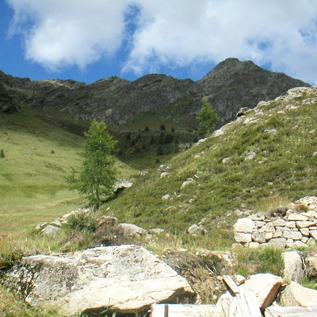
Gumriaul

The most important at a glance

distance
15.9 km
altitude meters uphill
🔋
1640 m
altitude meters downhill
🔋
1640 m
walking time uphill
4 h
walking time downhill
3:30 h
total walking time
7:30 h
highest point
🞍
2887 m
difficulty
🞽
average
fitness:

* * * * *

🞙🞙🞙🞙🞙

technique:

* * * * *

🞙🞙🞙🞙🞙

parking:

Parkplatz Anras

starting point:
Anras
destination point:
Gumriaul
best season:
JUN, JUL, AUG, SEP

arrival

Parking spot

Car park Anras Center

altitude profile

Pdf file

Gpx file

Interactive map

Current weather conditions

Regen-00-02-08.png

6°C/43°F °C

Description

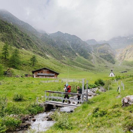
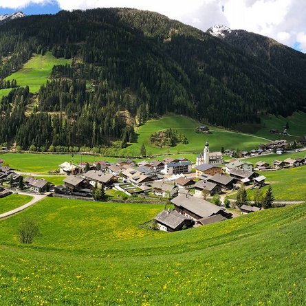
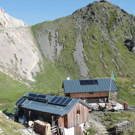
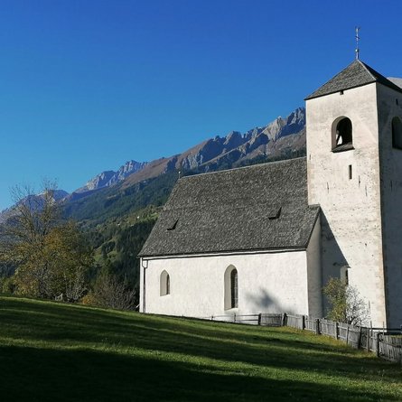
Starting to the north of the parish church, the trail begins between two farmsteads – the Noiler and Oberhofer - then passes Noilerkapelle. Proceeding up the mountain, after some 15 minutes on the forest trail to the north of Kolls heading into Anraser Tal and to the Anraser Wiesen. Along the Mühlbach (Margarethenbach) hikers get to Anraser See and to Gumriaul.

Newsletter

Subscribe to our newsletter and receive the best tips every month for current offers, mountain tours, events and much more.