Trail Virgentaler Sonnseitenweg Stage 4

From the Sonnseitenweg to the NaturKraftWeg Umbalfälle

The most important at a glance

distance
9.1 km
altitude meters uphill
🔋
353 m
altitude meters downhill
🔋
617 m
walking time uphill
3:30 h
total walking time
3:30 h
highest point
🞍
1780 m
difficulty
🞽
average
fitness:

* * * * *

🞙🞙🞙🞙🞙

technique:

* * * * *

🞙🞙🞙🞙🞙

public transport:

Bus stop Prägraten a. G. Hinterbichl


or

Bus stop Prägraten a. G. Ströden

parking:

Car park Hinterbichl


or

Car park Ströden

starting point:
Hut Stabanthütte
destination point:
Water trail Umbalfälle
best season:
JUN, JUL, AUG, SEP, OCT

arrival

Parking spot

Car park Ströden 1.400m

Car park Hinterbichl 1.340m

altitude profile

Pdf file

Gpx file

Interactive map

Current weather conditions

Gewitter-00-04.png

27°C/81°F °C

Description

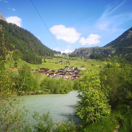
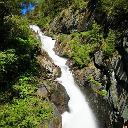
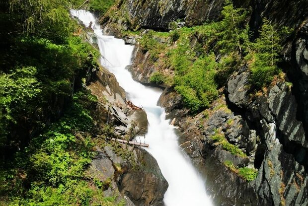
From the Stabanthütte, take the road past the Lumalm to Hinterbichl and Gasthof Islitzer. Cross the rushing Isel and continue to Ströden. A wide, mostly flat track takes you to the Islitzeralm, where you can stop for refreshments. The Islitzeralm is located at the foot of the Umbal Falls, the stage destination, where the water show trail takes you up close to the thundering waterfalls. A detour to the viewing platforms is an unforgettable experience. 

Newsletter

Subscribe to our newsletter and receive the best tips every month for current offers, mountain tours, events and much more.