From Kasern in South Tyrol’s Arntal valley proceed via the Umbaltörl to East Tyrol and via Reggentörl to Essener Rostocker-Hütte
Duration: approx. 7 ½ hours; altitude difference: 1720 m
the queen of all ski routes
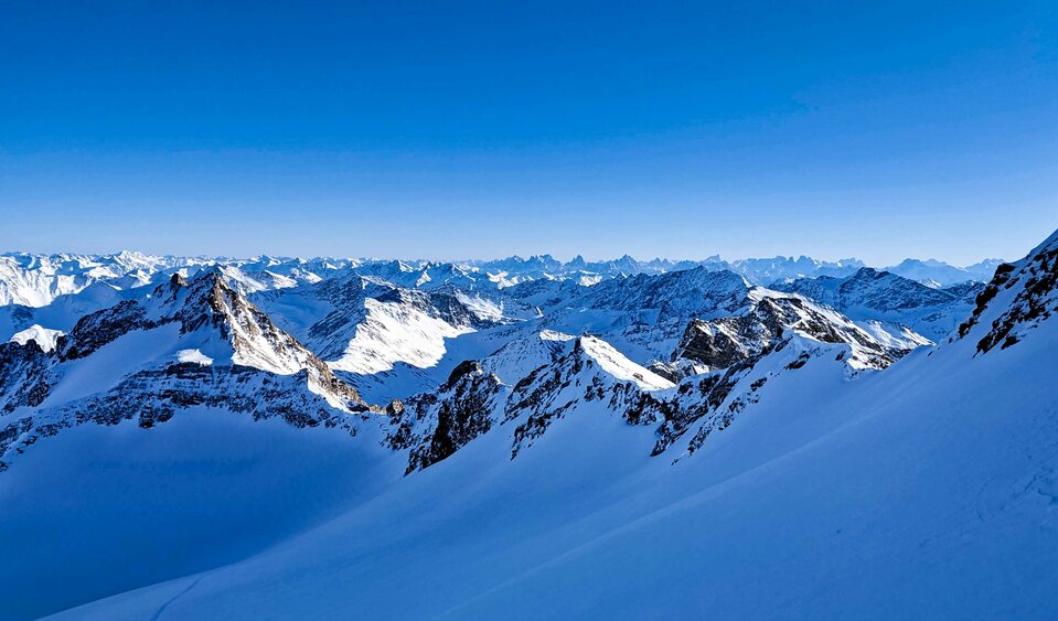
The Hoch Tirol ski route is arguably the most impressive and most breath-taking high mountain crossing in the East Alps. More than 18,000 metres altitude and 140 kilometres are covered over six days.
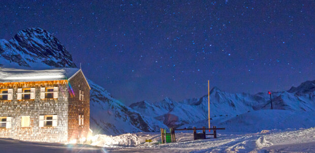
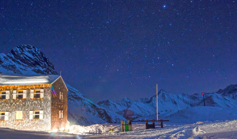
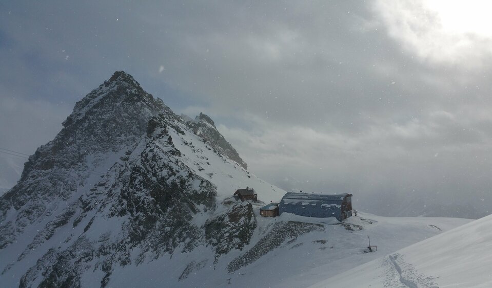
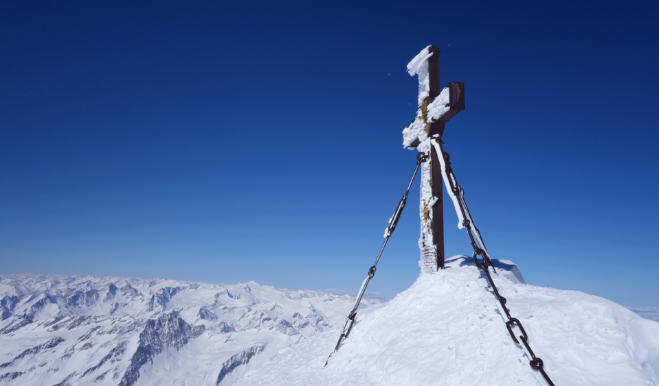
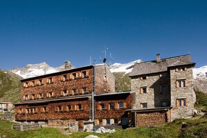
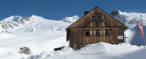
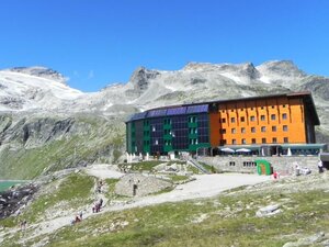
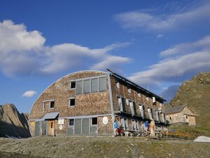
A classic ski tour taking you up the mountain and after conquering the summit, back to the valley again. Yet the Hoch Tirol ski route is not a classic ski tour. On the Hoch Tirol ski route you stay the night in accommodation which is right on the mountain and in bothies located at above 2000 metres, there is even one at 2801 metres (Südlhütte on stage 5). The challenging ski route starts in Kasern in South Tyrol and proceeds across the summits of the Venediger mountains to the highest mountain in Austria, the Großglockner (3798m). An overwhelming sensation is guaranteed here when you arrive at the final stage, Kals am Großglockner! The feat you have just achieved, the proximity to the forces of nature around the glacier and the many summits conquered will be etched in your memory.
From Kasern in South Tyrol’s Arntal valley proceed via the Umbaltörl to East Tyrol and via Reggentörl to Essener Rostocker-Hütte
Duration: approx. 7 ½ hours; altitude difference: 1720 m
A very impressive ski tour in terms of scenery – after a flat start proceeds to the western ridge of the Großer Geiger (ski storage area) and continues to the Großer Geiger at 3360 m. Down via the Türmljoch to the Johannishütte.
Duration: approx. 6 ½ hours; altitude difference: 1152 m
On day three there is a highlight on the Hoch Tirol ski route – the scaling of the Großvenediger (3657m), the fourth highest mountain in Austria. Be careful on the descent of the Schlatenkees – increased risk of crevasses! 2000 metres altitude descent past the new Pranger Hütte to Innergschlöss, the loveliest valley head in Austria! Flat all the way to Matreier Tauernhaus.
Duration: approx. 8 hours; altitude difference: 1553 m
From Matreier Tauernhaus take a taxi to the south portal of the Felbertauern tunnel. The Hoch Tirol route proceeds north-east to the Stubacher Sonnblick (3088 m) and continues to the Rudolfshütte.
Duration: approx.. 7 hours; altitude difference: 1925 m
Leisurely ascent to the Grantspitze 3086m (ski storage area). Descend via the southern flank to Dorfersee and continue through the flat Dofertal to Kalser Taurerwirt. Take a taxi to Lucknerhaus, from there it is about 2 ½ hours to the Stüdlhütte.
Duration: approx. 8 hours; altitude difference: 1656 m
The crowning finale to the Hoch Tirol ski route, the Großglockner at 3798m awaits on day six. From Stüdlhütte cross Ködnitzkees, continue to the Glocknerleitl and the Kleinglockner, descend to the Glocknerscharte and finally up to the king, the summit of the Großglockner. Please be aware that climbing expertise is definitely required. Descend to the end of the Hoch Tirol ski route, the Lucknerhaus.
Duration: approx. 6 ½ hours; altitude difference: 997 m