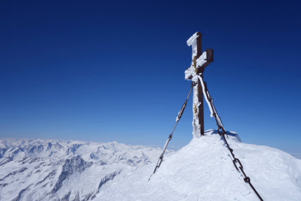
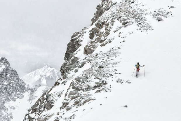
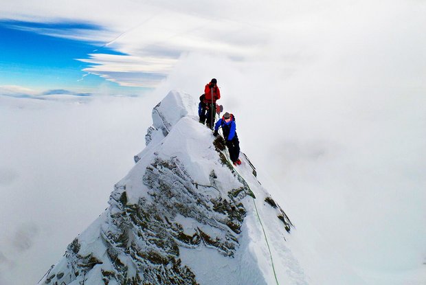
From Stüdlhütte the route is initially flat in a northeasterly direction, below the distinctive rockfaces of Salzkopf, crossing the slope up to Ködnitzkee, which you cross in a northerly direction to an altitude of around 3200 m. It meanders higher up the south slope, whereby the upper part is very steep and requires crampons. After overcoming a short strip of rock, you climb further to the equally steep Glocknerleitl, up onto a small shoulder, then steeply on to Kleinglockner (3783 m) and from there on a steel cable (approx. 20 metres) down to Glocknerscharte. You climb the last section over grippy rock to the peak of Großglockner at 3798 m. The descent leads (from the ski depot) along the ascent route to Lucknerhaus, the end of the Hoch Tirol ski route.
Menu


