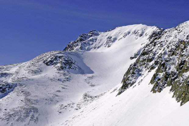
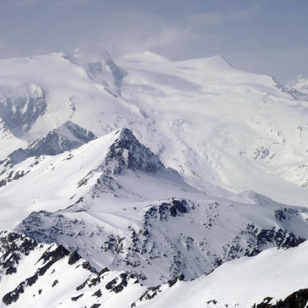
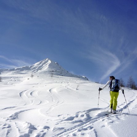
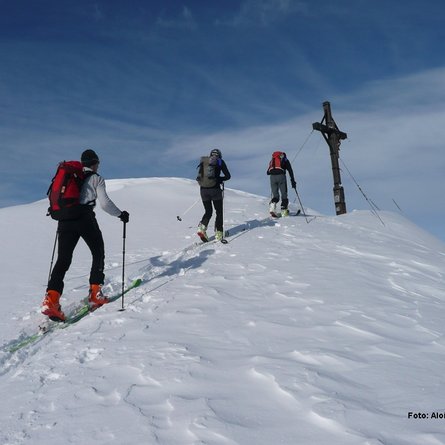
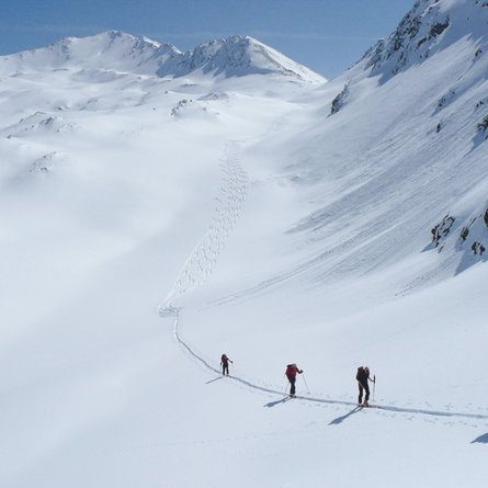
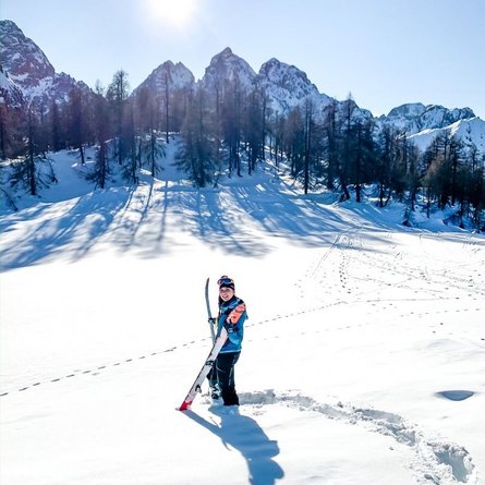
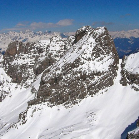
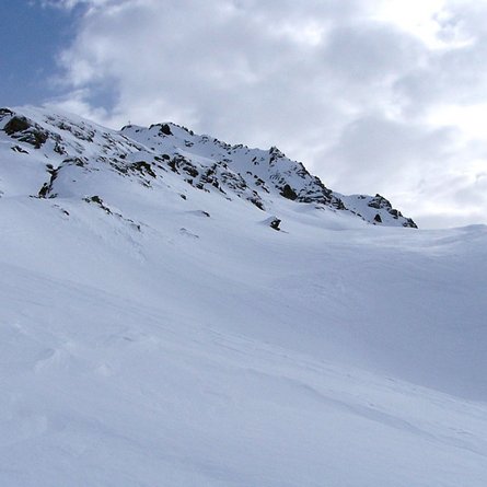
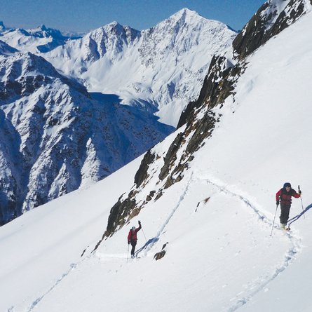
The Pfannhorn dominates the head of Defereggental and is one of the challenging ski tours in the drainage area of the Staller Sattel. The climb is a distinct opportunity in spring when the snow coverage in the steep terrain to the north of the summit is well established. Don’t be deceived by the relatively harmless appearance of the Pfannhorn, all the slopes are steeper than they appear. Starting point is Staller Sattel road at the end of Defereggental. Ascend up to the big bridge which crosses Staller Alm river (1837 m, not many parking spaces). We keep to the left of the river heading upwards gently in a larch forest and after around 300 metres we come to open terrain. The track now turns south-east and at the edge of the forest swings upwards through a fosse to the first hill top which has trees. Looking for the most favourable route we climb in leisurely hairpin bends up via the northerly oriented ridge (30°, risk of avalanche) until just before the start of the impressive northern ridge of the Pfannhorn. There follows a slightly downward crossing into the wide trough beneath the cliff faces. We cross this and now keep to the unwelcoming slopes beneath the destination for our tour. Via an often wind-swept, north-east facing slope we get, in a few more hairpin bends, into the small basin beneath the summit (<30°). This section may also be avoided via the accompanying ridge on the left side. From the small kettle the path to the cross is no longer wide and we opt to make the ascent along the summer trail which takes the north-east ridge. Here the final 150 metres altitude is tackled on foot to avoid the steep, north-facing summit flank. The direct ascent to the highest point through various gullies is often somewhat wind-swept and only recommended when conditions are ideal. Descent along the ascent track.
Additional ski tour tips can be obtained in the ski tour guides by Thomas Mariacher. These are available here: www.grafikzloebl.at/verlag/buecher/
