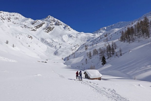
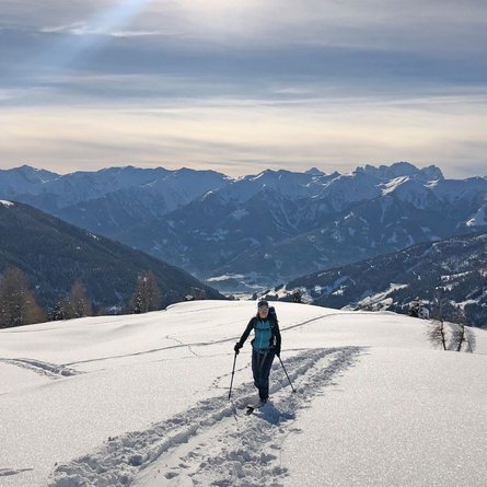
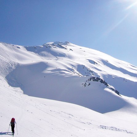
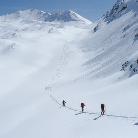
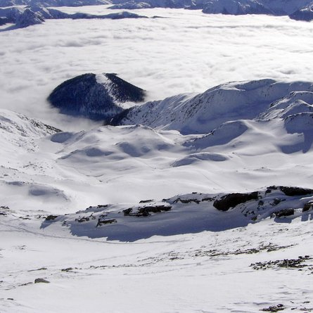
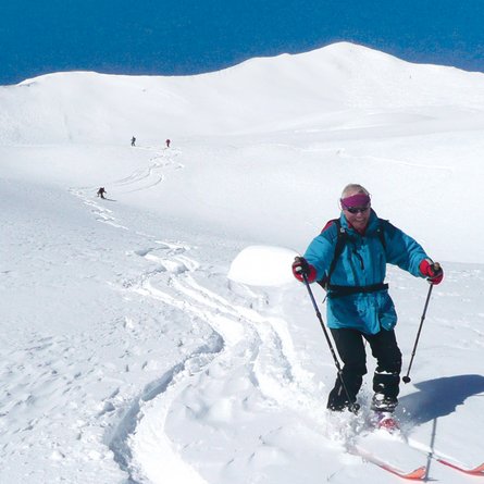
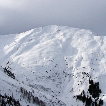
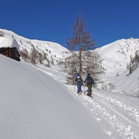
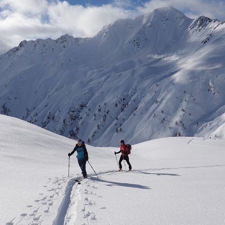
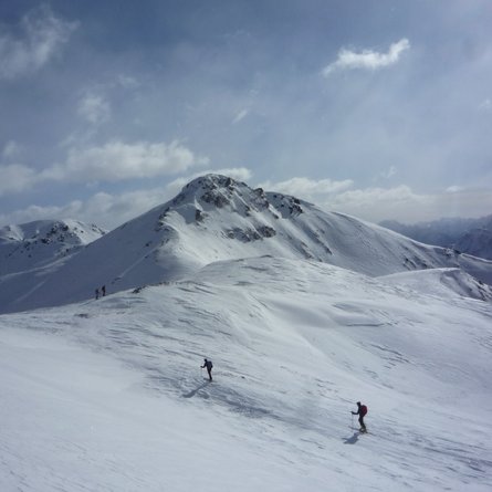
On a hairpin bend proceed along the Alpine trail via Einettal, with a few shortcuts to the Schmidhoferalm at 1909 m. Continue through the flat valley to just before the Sandkammer 2096 m, now proceed left, up the slope in a big right-left loop across troughs and the base of the slope to get to Villponer Lenke at 2556 m. From here now proceed briefly in a south-easterly direction, then continue south via troughs and the flat base terrain up to the ridge between the Hohes Kreuz and Hohes Haus. Proceed left via the ridge to the summit.
Characteristics:
The summit of the Hohes Haus cannot be seen from the valley, the destination only becomes visible at the Villponer Lenke. The long, relatively flat ascent to the head of the valley is to be tackled first, superb scenic terrain then follows and there is also an ideal slope incline for the descent. With the right track facilities, the tour may be undertaken throughout most of the winter.
Descent: as the ascent, from Villponer Lenke there are plenty of options to the left and right of the ascent track.
