HIGHLIGHTS
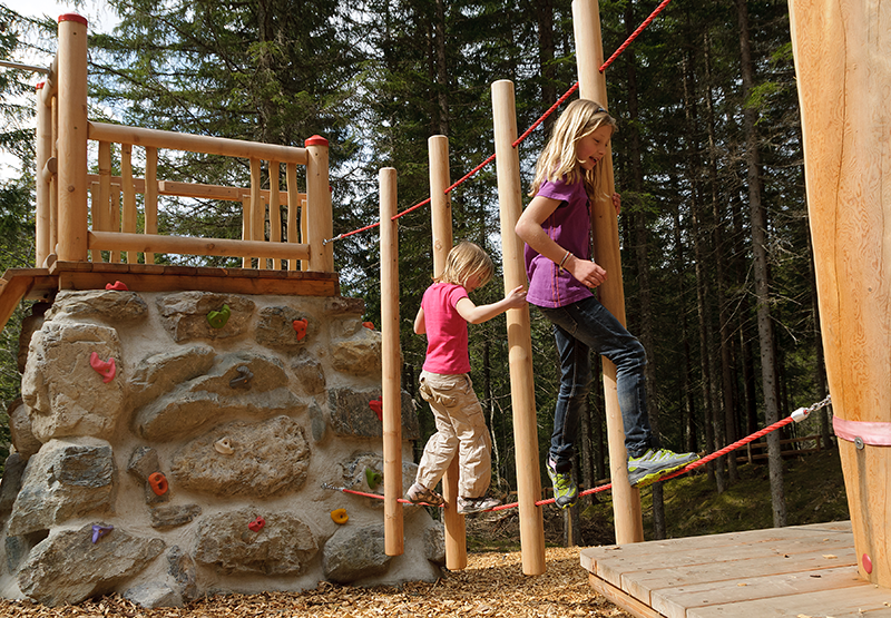
- Ideal for families: gentle paths with short stages
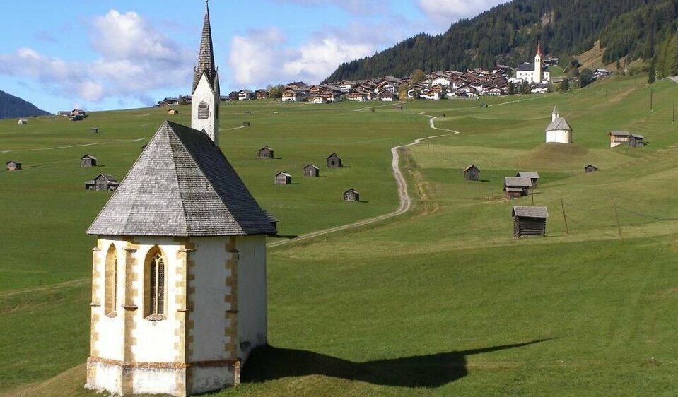
- Route close to the valley, which can also be hiked in spring and late into the fall
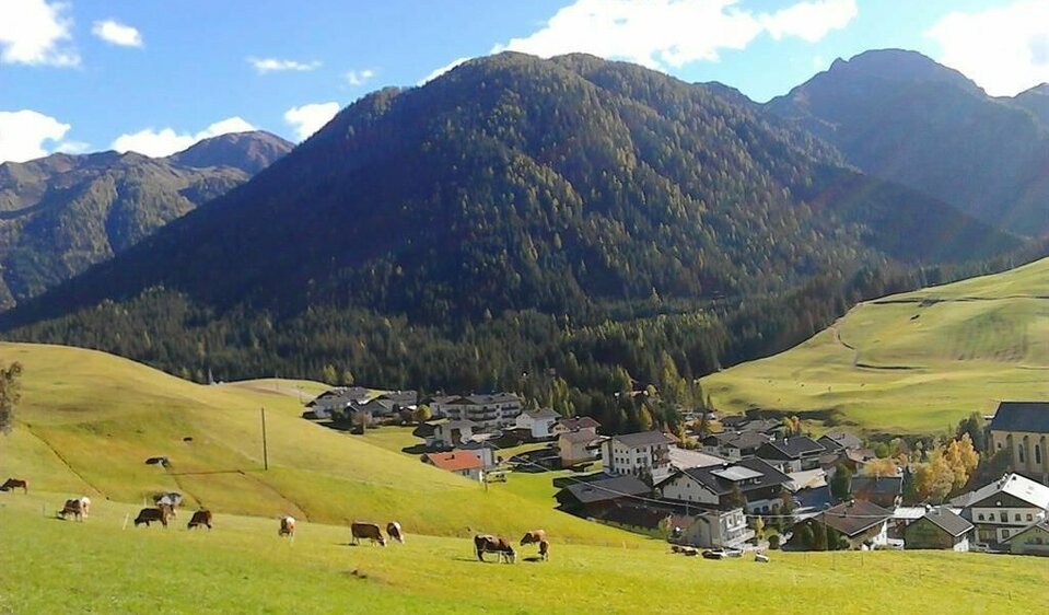
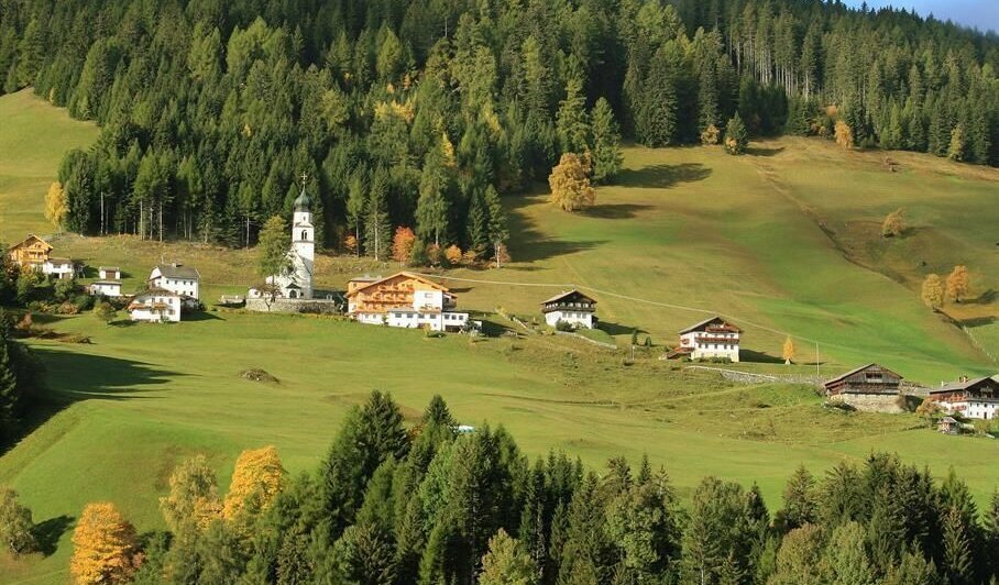
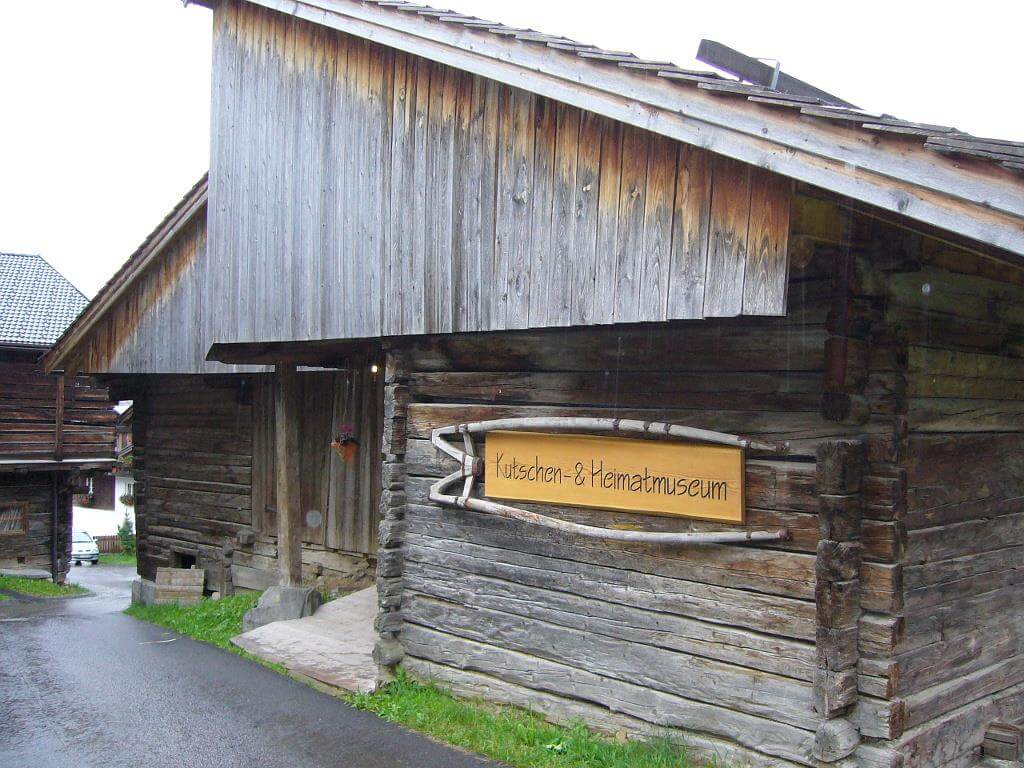
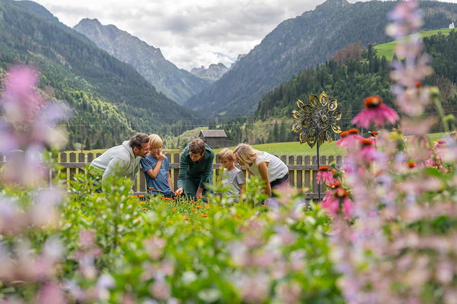
- Natural mountain farmland with beguiling diversity
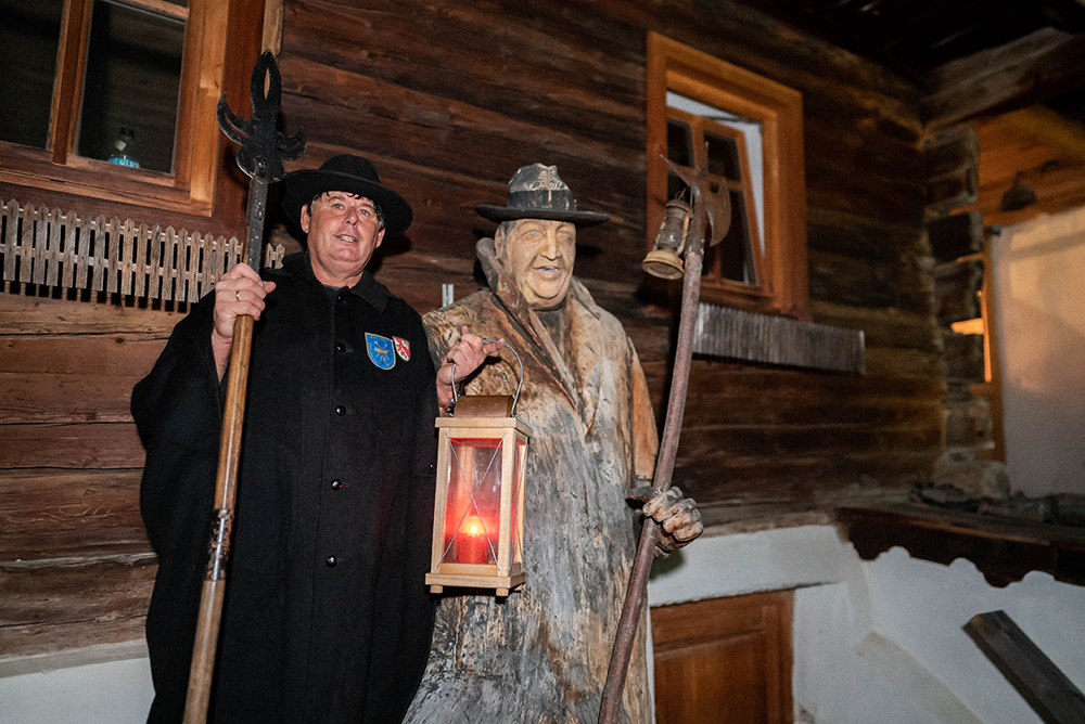
- Traditional mountain villages in the Osttirol Gailtal & Carinthian Lesachtal valleys
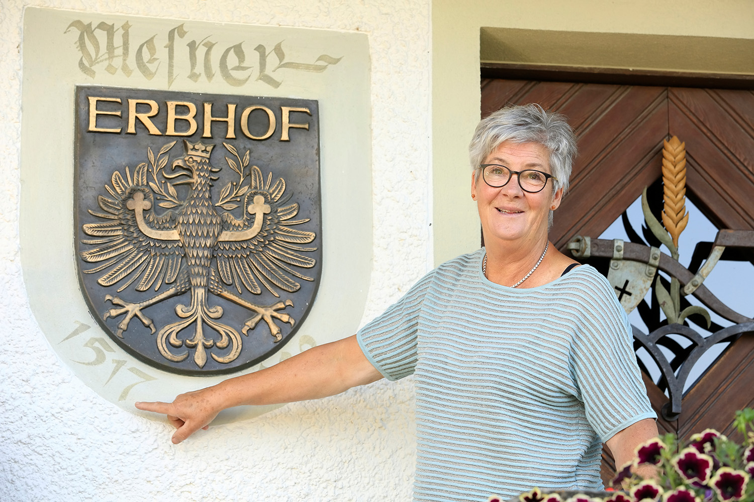
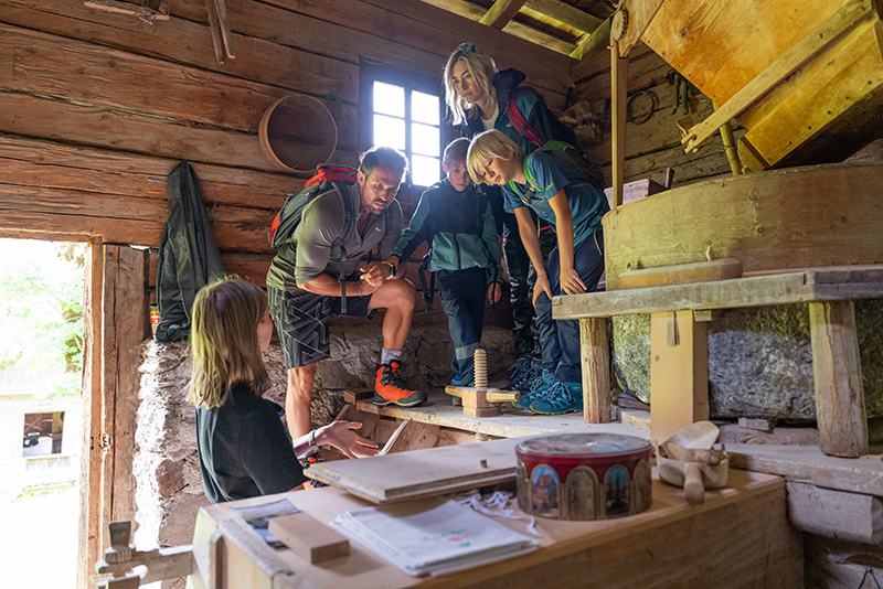
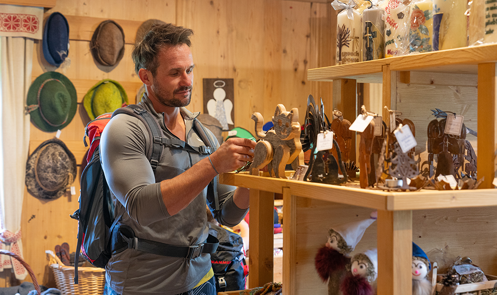
- Farm experiences: Close to the life of mountain farmers
- Overnight stays in quality-tested, family-run accommodation with regional products
YOUR ADVANTAGES
- Service & security from the official Höfe Trail information & booking center
- Top advice from experienced and competent staff
- Fabulous services such as free hiking bus, train station shuttle, comprehensive travel documents, trail hotline (12/7) and much more.
- Individual planning and booking of your hiking trip: as a location or stage hike
- Carefully compiled and practical (family) hiking packages
- Fantastic farm experiences to take part in