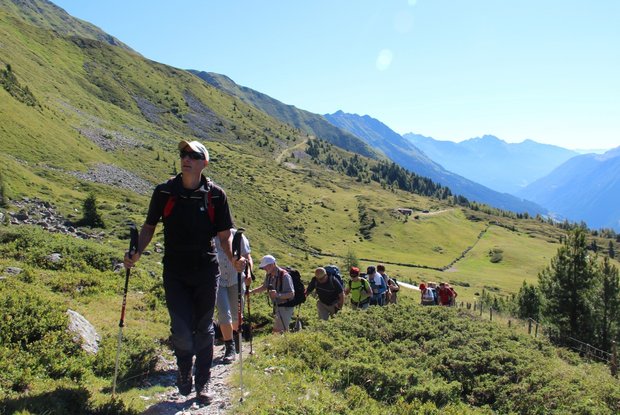
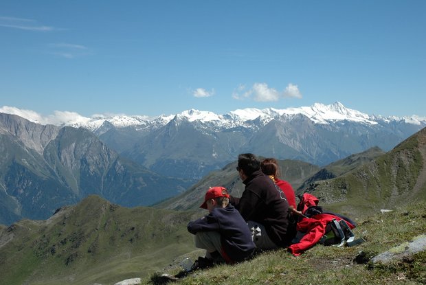
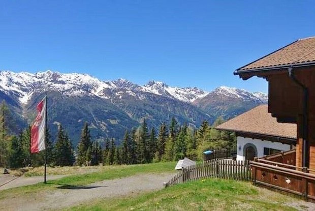
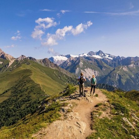
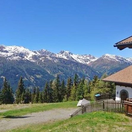
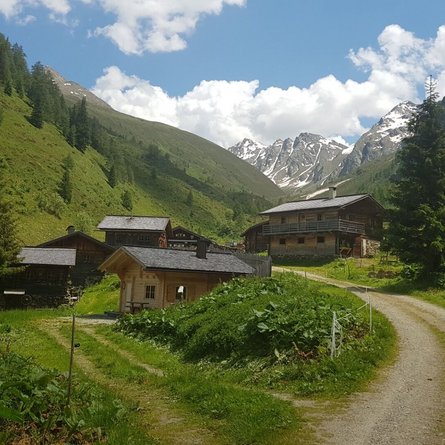
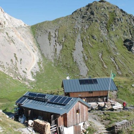
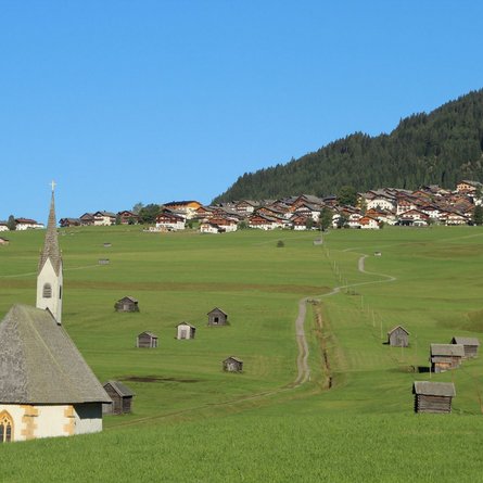
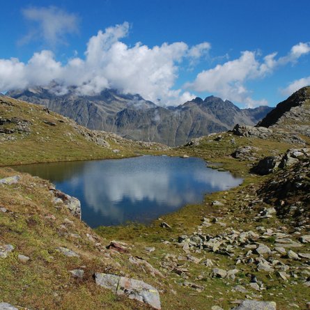
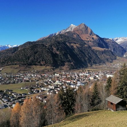
Summit in the Lasörlingkamm ridge above St. Veit. The Speikboden is a much-visited viewing area with a lovely view to the Großglockner, Großvenediger, Hochgall and Ortler. From the village square in St. Veit follow the road past the town hall, heading west. At the following fork in the roads continue right to the end of the asphalt road (you may also take your car up to this point). Just after the branch-off of the circular hiking trail bear left at a turnstile on the gravel road and continue via a moderately ascending forest trail to a junction, then go right and continue. It is then somewhat steeper in hairpin bends up to the Alpine lodge. From the Speikbodenhütte proceed in a northerly direction, past a hay barn then a bit further up to a wayside cross. From here you ascend a bit more, up across Alpine pastures. On the final slope you head steep uphill to the ridge. To finish you then still have the summit ridge along the Speikboden to tackle.
Menu
