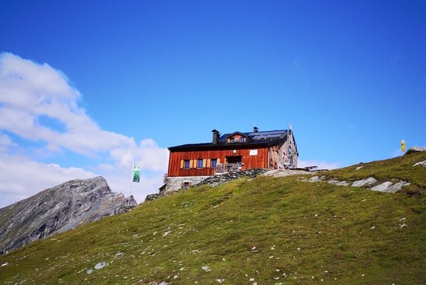
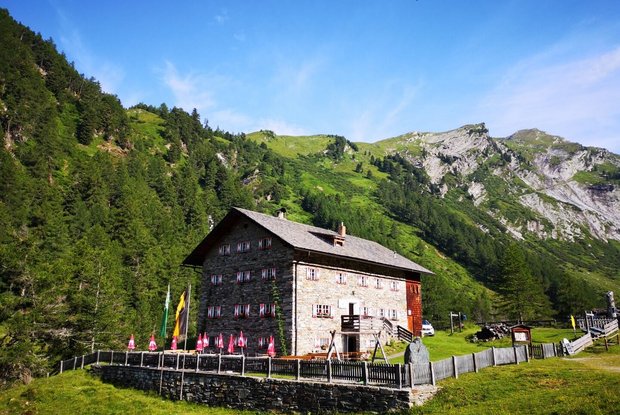
The 2. stage starts from the Sudetendeutschen Hütte with an ascent to the highest point of the day the Gradötzsattel (2.826 meter).
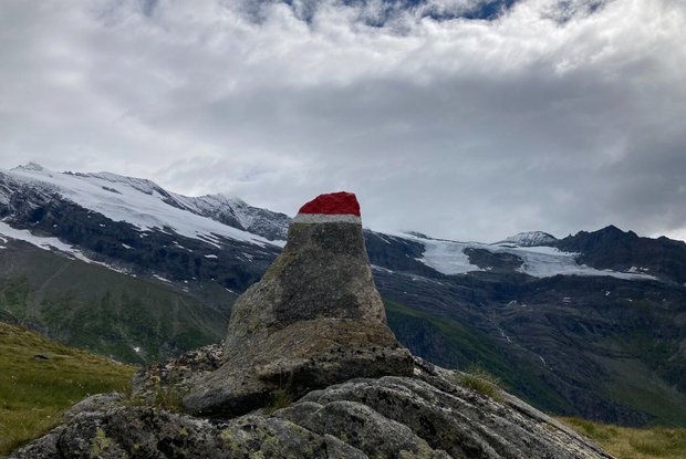
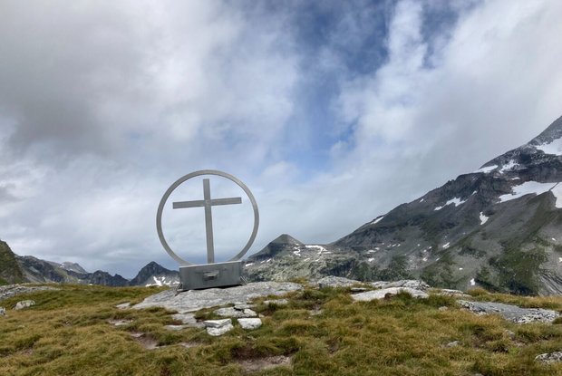
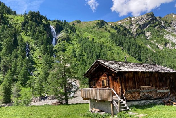
Downwards the hiking path passes rocks, boulders and mountain streams. At an altitude of 2.500 meter follow the left turn northward to the Silesiaweg, AV 517, into an extensive pastureland until you reach the mountain lake Schwarzsee. Afterwards you reach the nature powerspot Spinewitrol with it's prominent cross on the summit. Take the path AV 514A to climb down by passing alpine meadows at the Hintere Ochsenalm to the hiking path AV 514. The last steep slope leads you next to the Waterfall of the "Stotz", a stone pine forest and a shrub vegetation to the end of the stage at the Kalser Tauernhaus (1.755 meter).
