
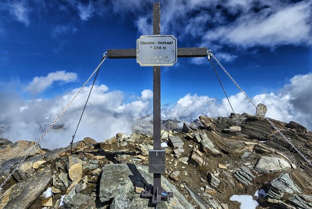
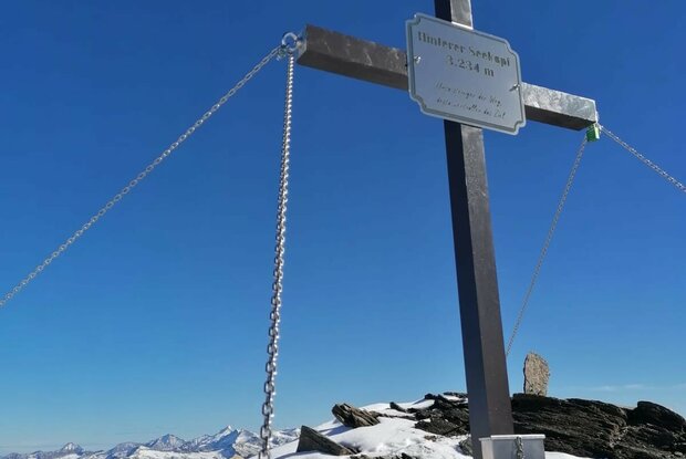
Hinterer Seekopf 3.234m & Vorderer Seekopf 3.283m

A challenging, high-alpine hike in the Timmeltal valley

The most important at a glance

distance
8.7 km
altitude meters uphill
🔋
799 m
altitude meters downhill
🔋
799 m
walking time uphill
3 h
walking time downhill
2:15 h
total walking time
5:15 h
highest point
🞍
3283 m
difficulty
🞽
difficult
fitness:

* * * * *

🞙🞙🞙🞙🞙

technique:

* * * * *

🞙🞙🞙🞙🞙

public transport:

Prägraten am Großvenediger Wallhorn bus stop

parking:

Car park Bodenalm

starting point:
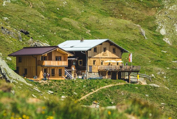
Eisseehütte 2.521m
destination point:
Eisseehütte 2.521m
best season:
JUN, JUL, AUG, SEP

arrival

Stop

Prägraten am Großvenediger Wallhorn

Parking spot

Car park Bodenalm 1.700m

altitude profile

Pdf file

Gpx file

Interactive map

Current weather conditions

Sonne-02.png

10°C/50°F °C

Description

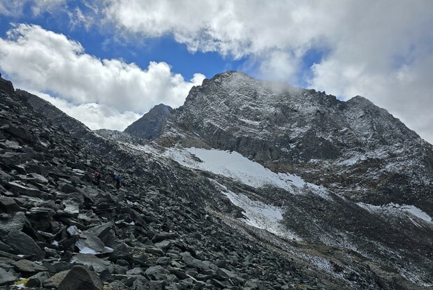
The route begins by heading towards the Kleiner Hexenkopf. Below the
Seekopfscharte, turn left and climb gently over rocky outcrops and scree slopes
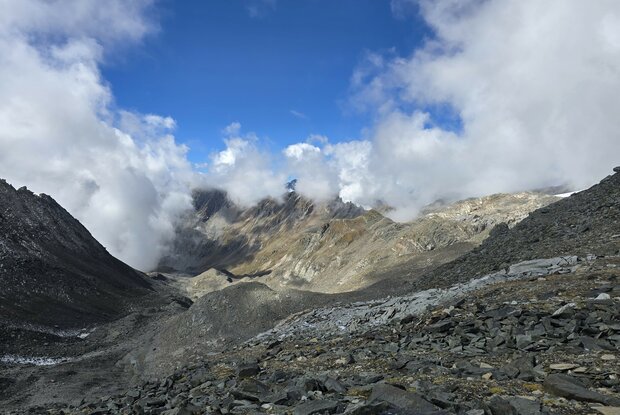
to the summit cross of the Hinterer Seekopf. A few cairns help with navigation. From the Hinterer Seekopf, follow the trail along the broad ridge – for about half an hour – to the Vorderer Seekopf. Here, a cairn at the highest point marks the summit. The descent can then be made via the Garaneberkees and the Seewandspitze. Only for
very experienced mountaineers. A mountain guide is recommended!

Newsletter

Subscribe to our newsletter and receive the best tips every month for current offers, mountain tours, events and much more.


