Bike & Hike Schwarzsee 2.500m

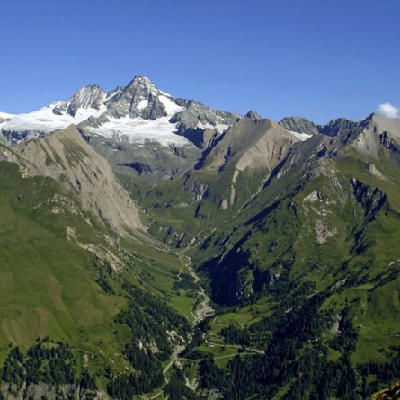
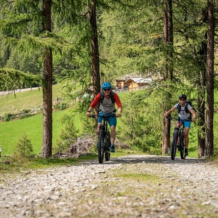
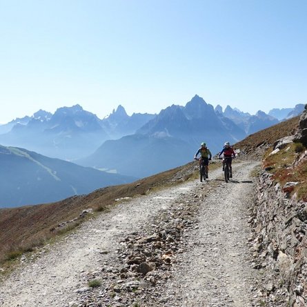
If you want to cycle in peace and quiet in a naturally preserved mountain valley, the Villgratental is the perfect place for you on the "Innervillgraten Mountain Cycle Trail". Wide alpine pastures and a magnificent, unspoilt mountain world make the valley a real paradise

The most important at a glance

difficulty 🞽
bike
🄷
average
hike
🛬
average
distance (in KM)
total distance
🅕
282840 km
bike
🄷
9307 km
hike
🛬
5113 km
altitude meters uphill
total altitude
🅕
1380 m
bike
🄷
570 m
hike
🛬
812 m
total tour time
total tour time
🅕
6.5 h
bike
🄻
2.5 h
hike
🛬
2.5 h
fitness:
* * * * *
🞙🞙🞙🞙🞙
technique:
* * * * *
🞙🞙🞙🞙🞙
starting point:
Innervillgraten
destination point:
Schwarzsee
best season:
Juni - September
best season:
JUN, JUL, AUG, SEP

arrival

Car park
Car park Innervillgraten Center

hut/alpine hut

altitude profile

Pdf file

Gpx file

Interactive map

Current weather conditions

Sonne-04.png
4°C/39°F °C

Description

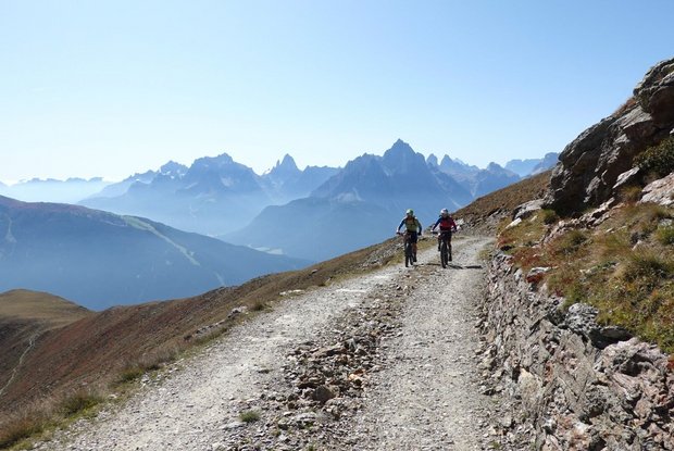
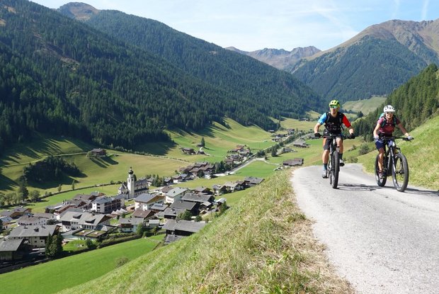
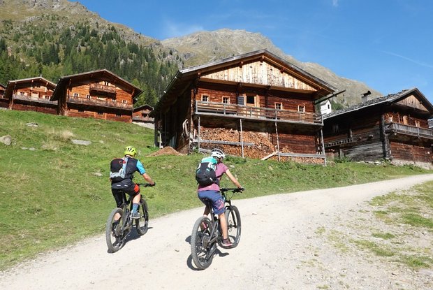
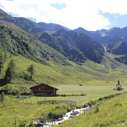
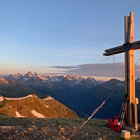
Starting directly in the village at 1,402 m, the cycle path initially heads north towards Taletalm. Far before this, the forest path branches off to the left to the Berglet Höfe at 1,700 metres. From here, take the little-used road from Hochberg to the Unterstalleralm snack station. From the Unterstalleralm, trail no. 15 leads along the high valley floor over the Arntal stream on a partly stony path up to the so-called Restlangarten at 2,241 metres. The rocky, alpine ascent continues over slabs and boulders to the mysterious, dark Schwarzsee lake (follow the markings!). Descend along the same path to the Restlangarten, then turn left onto path 15a, which first leads to one of the most beautiful alpine villages in East Tyrol, the Oberstalleralm, and on to the Unterstalleralm.

Newsletter

Subscribe to our newsletter and receive the best tips every month for current offers, mountain tours, events and much more.