Bike & Hike Rotenkogel 2.762m

Challenging Bike & Hike dream tour for E-Bikers

The most important at a glance

difficulty 🞽
bike
🄷
average
hike
🛬
difficult
distance (in KM)
total distance
🅕
31.5 km
bike
🄷
27.6 km
hike
🛬
3.9 km
altitude meters uphill
total altitude
🅕
1852 m
bike
🄷
1475 m
hike
🛬
377 m
total tour time
total tour time
🅕
6 h
bike
🄻
3 h
hike
🛬
3 h
fitness:
* * * * *
🞙🞙🞙🞙🞙
technique:
* * * * *
🞙🞙🞙🞙🞙
starting point:
Parkplatz Matreier Goldried Bergbahnen 960m
destination point:
Rotenkogel 2.762m
best season:
JUN, JUL, AUG, SEP

arrival

Bus stop
Matrei i. O. Süd
Car park
Car park cable car station 920m

altitude profile

Pdf file

Gpx file

Interactive map

Current weather conditions

Sonne-03.png
9°C/48°F °C

Beschreibung Bike

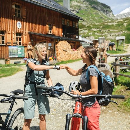
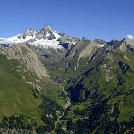
The Bike & Hike route starts at the parking lot of the Matreier Goldried Bergbahnen. Follow the signs for MTB route no. 147 Klaunzerberg and cover the first kilometers on a moderately steep asphalt road. Already here you can enjoy breathtaking views of the glacier world around the Malhamkees at the end of the Virgental. Numerous refreshment stops including e-bike charging stations make this route a clear "all-round carefree package". At the end of MTB route 147, follow the signs in the direction of the Adler Lounge. The trail here is quite rough and quite steep. At the Adler Lounge you can park your bike and recharge your own batteries once again before starting the climb to the summit of the Rotenkogel in a southerly direction.


The times are for E-Bikers.
Beschreibung Wanderung

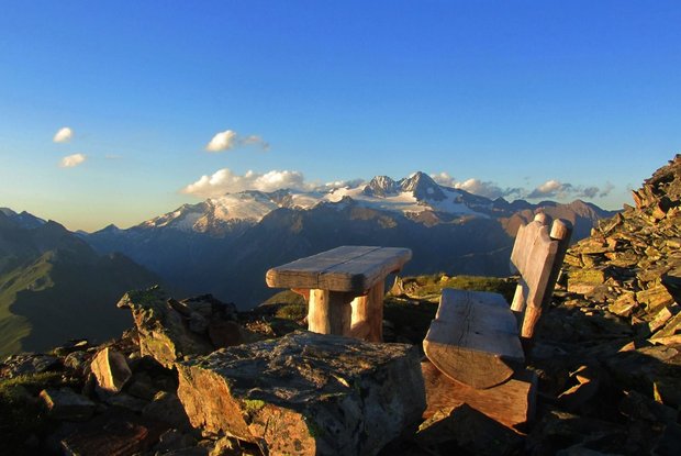
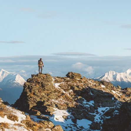
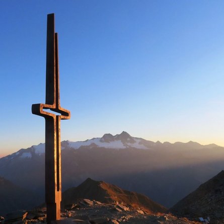
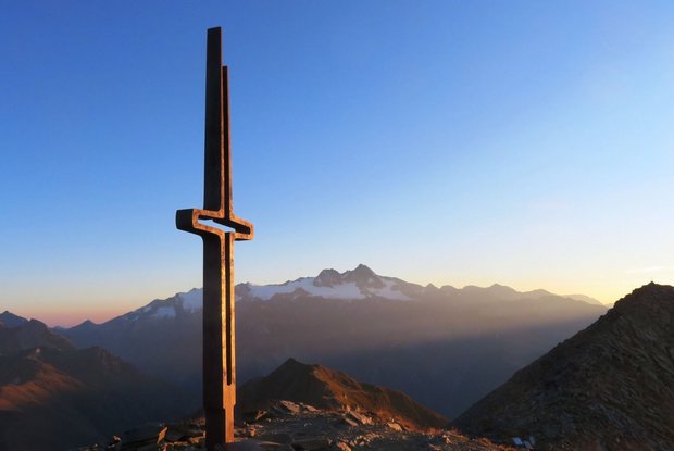
The ascent leads along the ridge first to the Gorner and then on to the stage destination - the Rotenkogel. The summit is one of the most beautiful panoramic mountains in the region, where you can enjoy a 360-degree view of the Großvenediger, Großglockner and Dolomites. The way back follows the ascent path.

Newsletter

Subscribe to our newsletter and receive the best tips every month for current offers, mountain tours, events and much more.