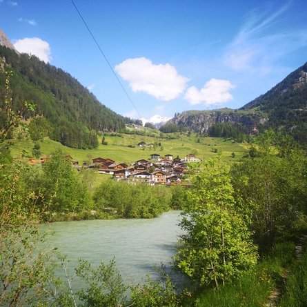
High and sacred – an Alpine pilgrim trail through East Tyrol, South Tyrol and Upper Carinthia

The most important at a glance

distance
194 km
altitude meters uphill
🔋
11200 m
altitude meters downhill
🔋
10790 m
total walking time
65 h
highest point
🞍
2654 m
difficulty
🞽
average
fitness:

* * * * *

🞙🞙🞙🞙🞙

technique:

* * * * *

🞙🞙🞙🞙🞙

public transport:

Mit dem Bus bis zur Bushaltestelle "Lavant Ort".

parking:

Parkplatz Gemeindeamt Lavant

starting point:
Lavant
destination point:
Heiligenblut
best season:
JUN, JUL, AUG, SEP

altitude profile

Pdf file

Gpx file

Interactive map

Current weather conditions

Sonne-02.png

15°C/59°F °C

Description

200 kilometres – nine day’s stages –11,200 metres in altitude

The “Alpine Pilgrim Trail High and Sacred” covers 200 kilometres, split into nine day’s stages, and leads from Lavant via Innichen to Heiligenblut, whereas one place of religious significance is part of each stage. Next to the famous St. Mary’s pilgrimage sites Maria Luggau, Kalkstein in Innervillgraten, and Obermauern in Virgen, also regional gems like St. Korbinian in Assling or St. Oswald in Kartitsch will be visited. On average, each day’s stage comprises 20 kilometres length and more than 1,000 metres in altitude. The total walking time amounts to about 65 hours.

Newsletter

Subscribe to our newsletter and receive the best tips every month for current offers, mountain tours, events and much more.