The Iseltrail

Leisurely hiking by the last still free-flowing glacial river in the Alps

A unique route through a magical water wonder world with an individual choice of sections!


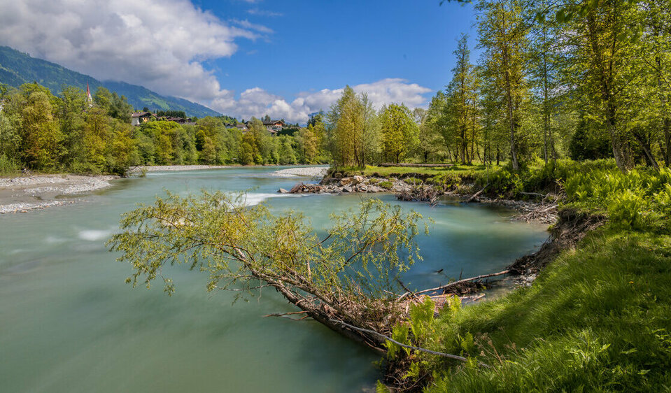
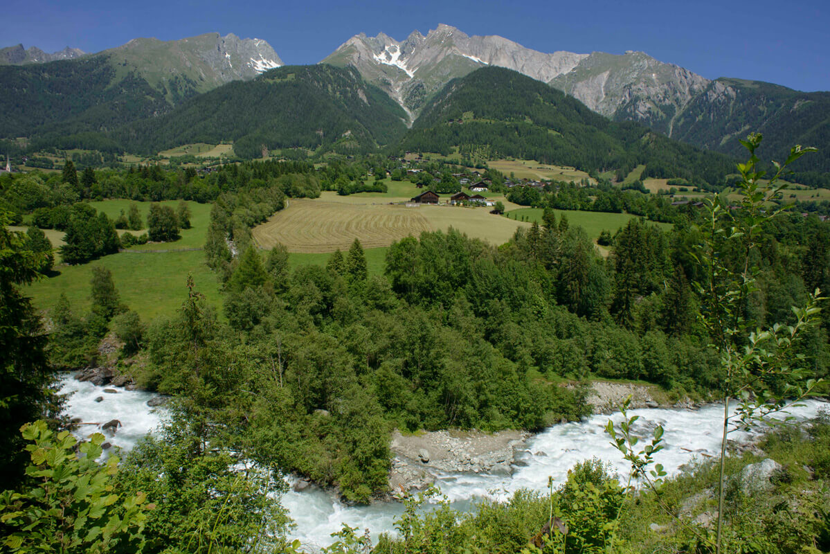
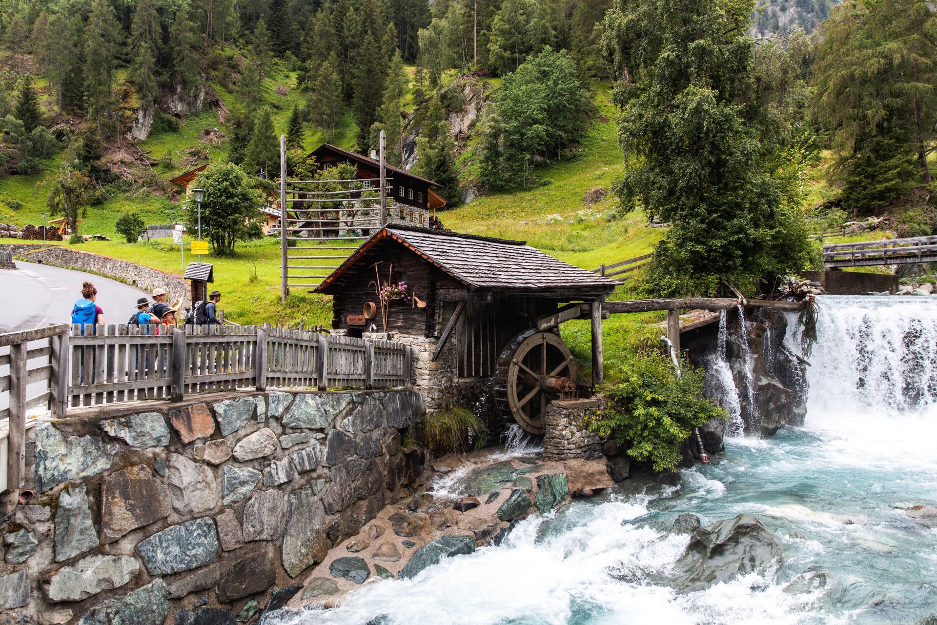
From the sunny Dolomites town Lienz in the green valley basin to the Arctic glacial gateway at the Nationalpark Hohe Tauern. From a carefully cultured landscape into a secluded alpine wilderness. Always accompanied by the refreshing element of water, past water meadows, gravel bars, gorges, rapids and waterfalls: the new Isel trail reveals the pulsating artery of life of Osttirol as a string of fabulous pristine natural beauty. And nature enthusiasts a grandiose mountain world at your feet. Sometimes rushing gently past picturesque scenarios, sometimes dramatically raging with unbridled temperament, sometimes mysteriously spraying – the river has many faces. Whether you are a nature lover, a leisurely hiker, a wilderness fan or a heat refugee: follow your river.

Iselstrand
Lechweg and Iseltrail: Two Success Stories in Tourism

The Anraser Pfleghaus invites you to a lecture on September 24, 2026, at the Kultursaal Anras.

A lecture on the topic of water featuring speakers Mitchael Kohler, president of the Lechwech Association, and Franz Theurl, president of the Osttirol Tourist Board (TVB Osttirol)

read more
youtube video

Offer for the Iseltrail

The Iseltrail Photo Safari & Contest

In May 2025, eight passionate photographers explored the Iseltrail with a trained eye and captured striking images of the wild Isel River, its unique flora and fauna, and its journey through narrow gorges and vast floodplains.

The Best Photos from the Iseltrail Photo Safari

back
Next
Wilde Natur am Iseltrail in Osttirol.
© Benjamin Pauli
Der Gletschfluss Isel.
© Andreas Durchner
Ausblicke am Iseltrail in Osttirol.
© Edith Tembler
Fließendes Wasser der Isel.
© Kai Maurer
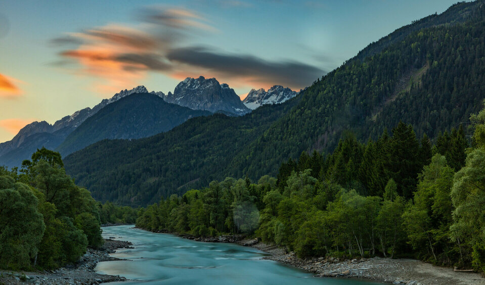
Der Gletschfluss Isel im Sonnenuntergang.
© Karl Seidl
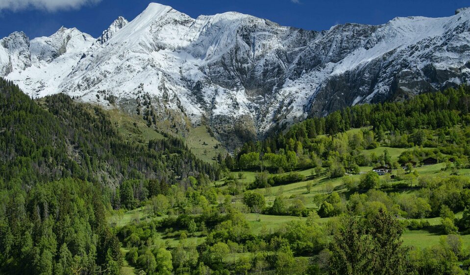
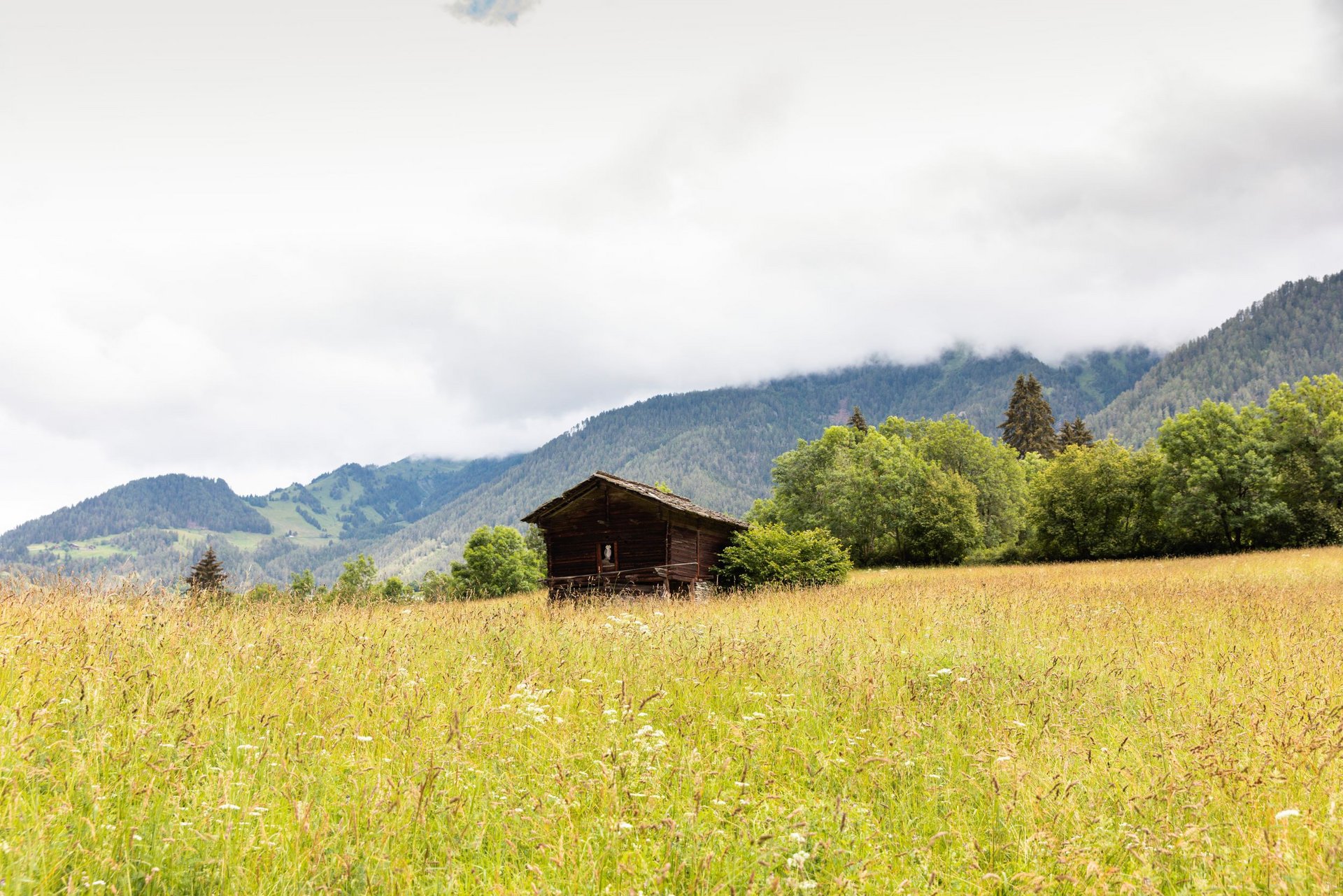
Grüne Wiesen und schneebedeckte Berge im Virgental.
© Matthias Schickhofer
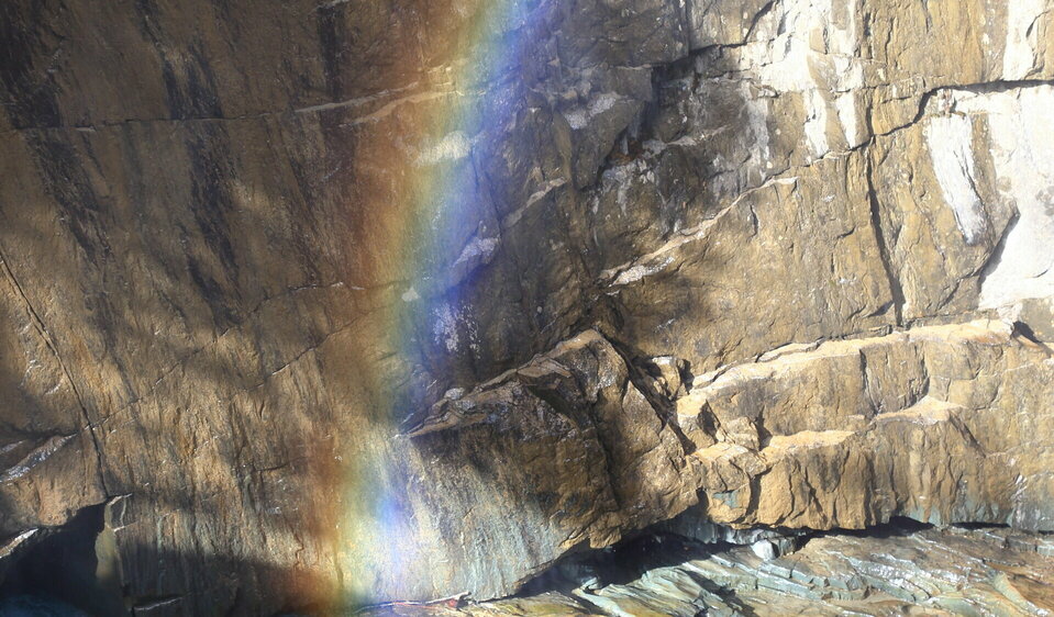
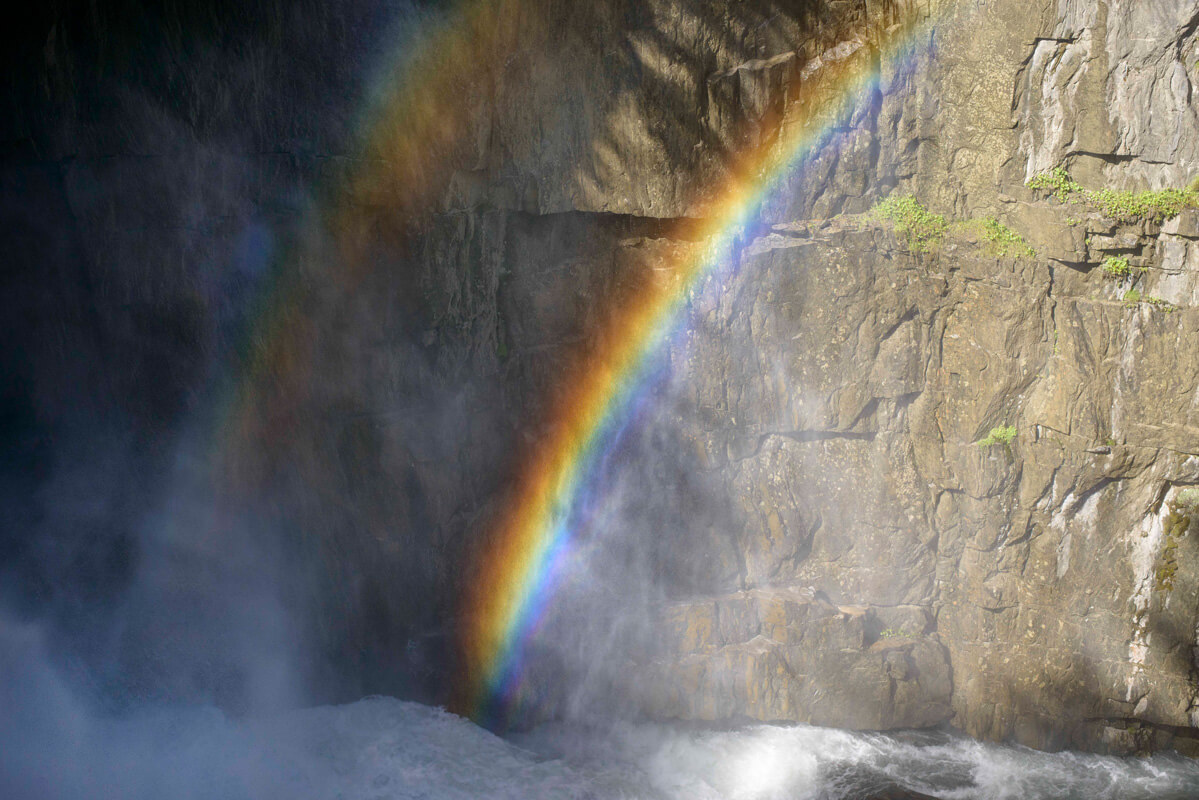
Regenbogen bei den Umbalfällen in Prägraten am Großvenediger.
© Stefan Grebner
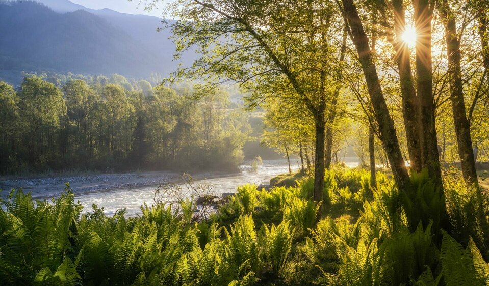
Grüne Natur am Iseltrail im Sonnenlicht.
© Ulrike Eisenmann
Aus der Vogelperspektive betrachtet, schlängelt sich der blaue Gletscherfluss Isel durch die grüne Umgebung Osttirols.
© Michael Schober

Suspension Bridge Isel Canyon

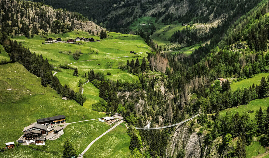
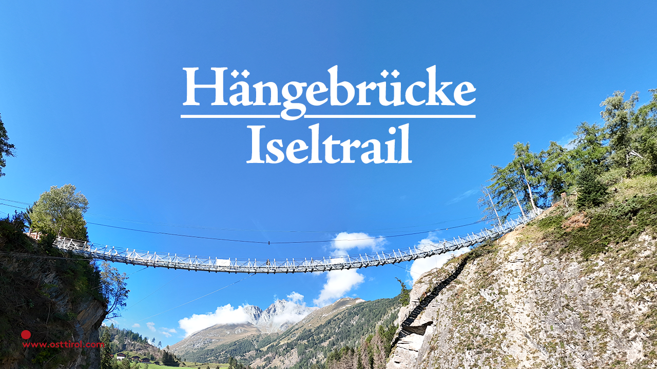
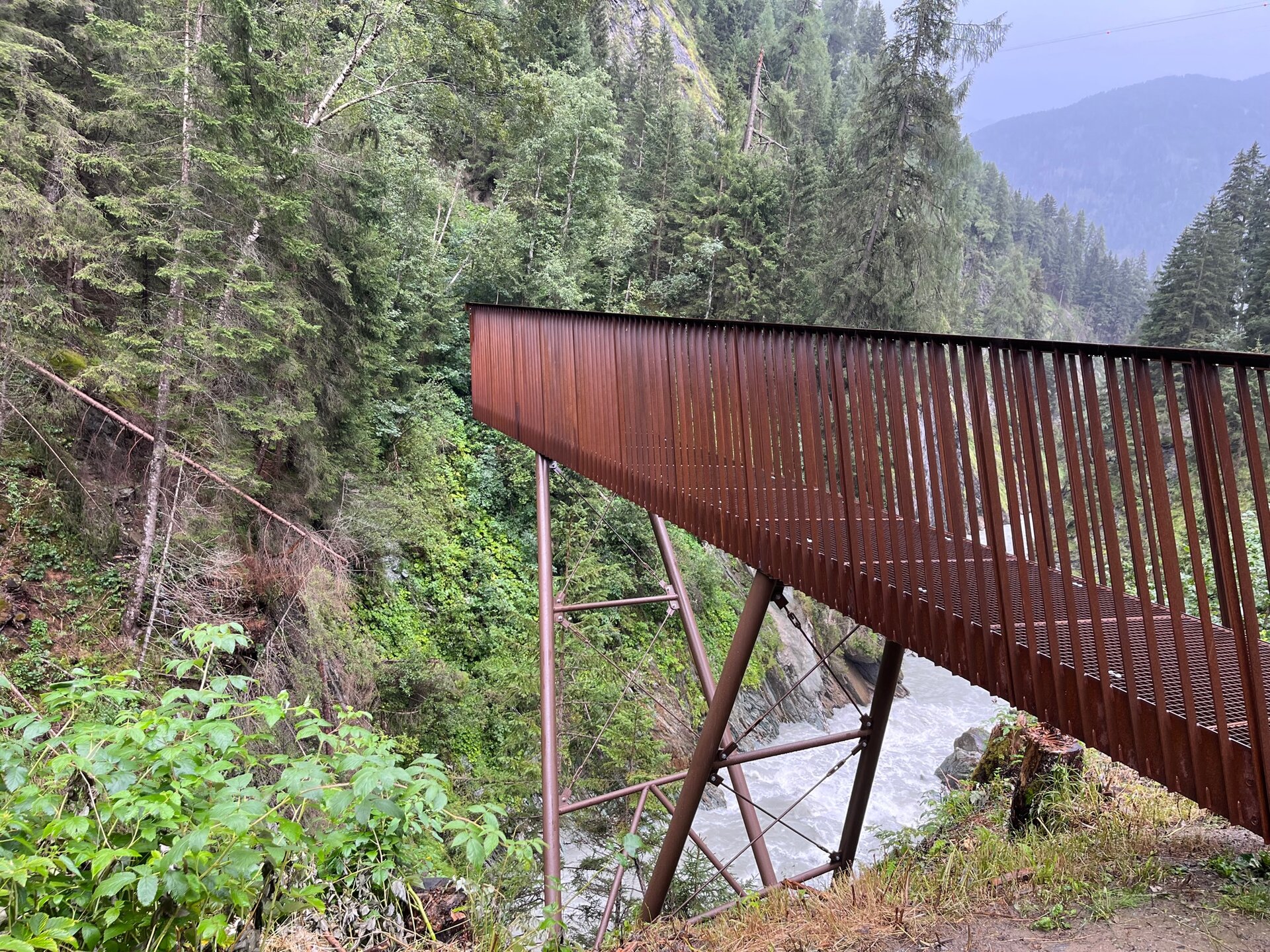
A structural spectacle can be found along the Iseltrail in Virgen: with a span of around 84 meters and a dizzying height of around 90 meters, the new suspension bridge crosses the Isel Canyon. It was completed in October 2023 and now awaits brave hiking enthusiasts on the Iseltrail.

"Fine Art" Category

back
Next
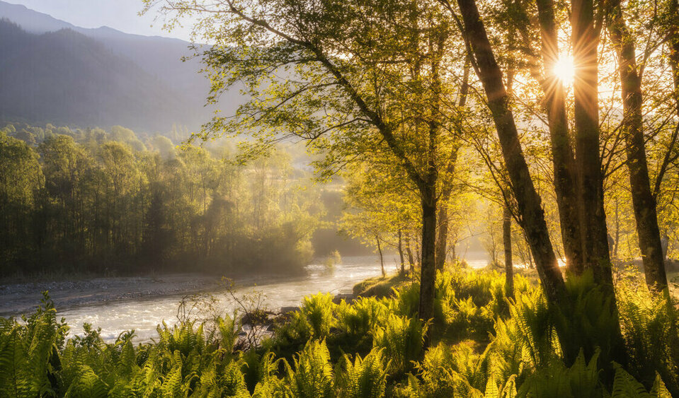
Die ersten Sonnenstrahlen blicken durch die Bäume am Weitwanderweg Iseltrail in Osttirol.
1. Ulrike Eisenmann captured the sunrise over the Isel.
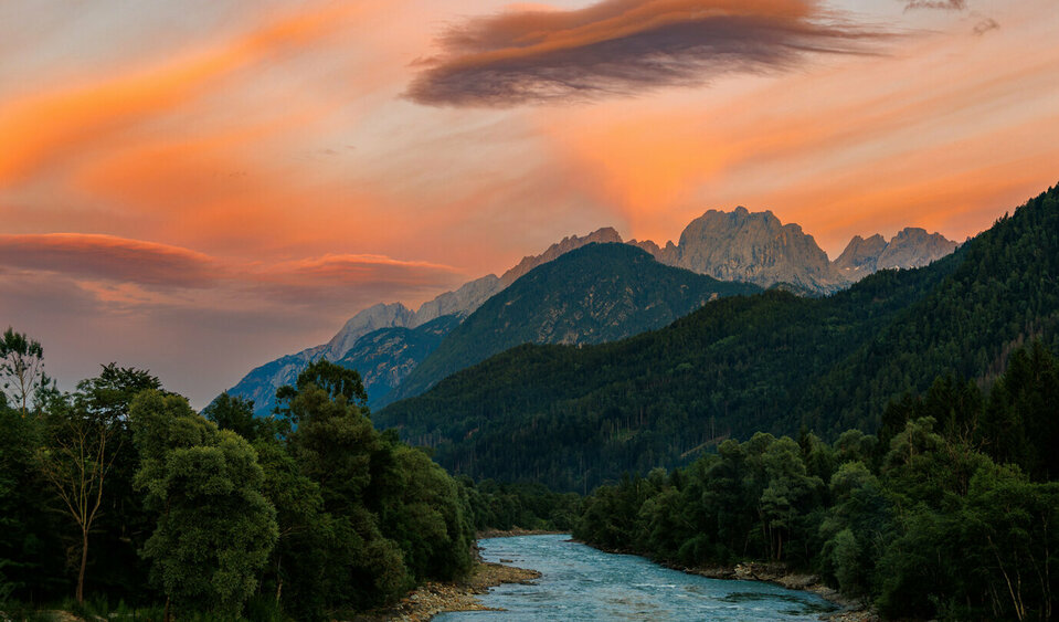
Abendstimmung über der Isel in Richtung Lienzer Dolomiten.
2. Edith Tembler photographed the play of colors at sunset along the Isel.
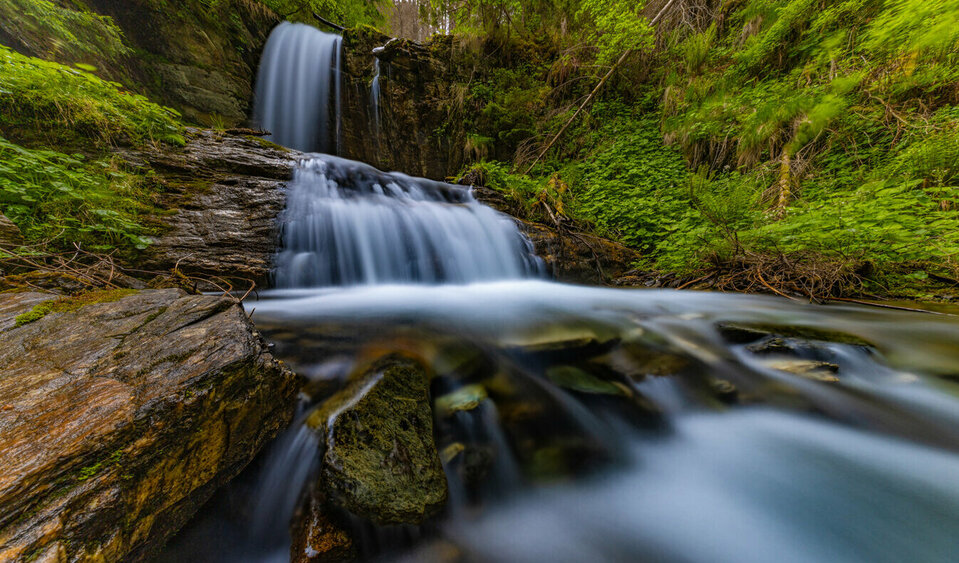
Mystische Bewegung des Gletscherflusses Isel in Osttirol.
3. Using a long exposure, Karl Seidl captured a waterfall on the Isel River.
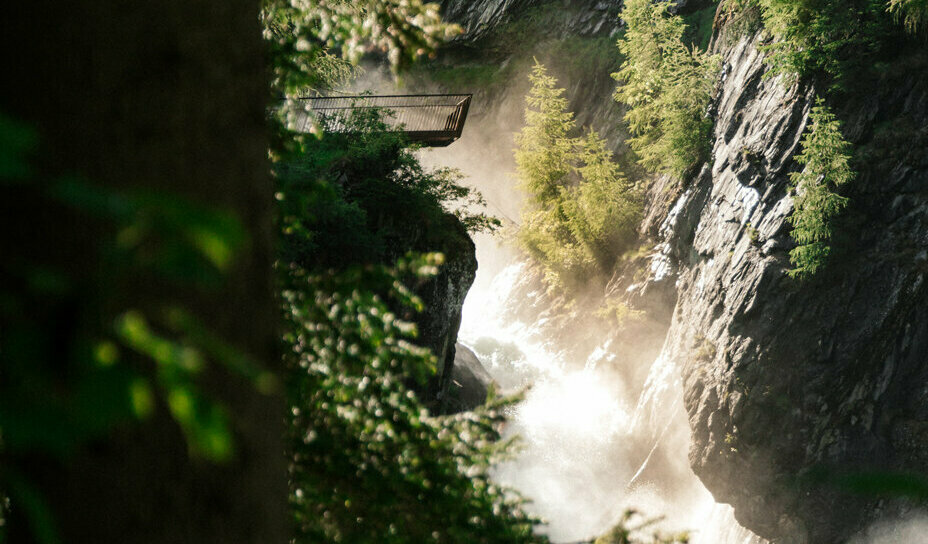
Ein Zusammenspiel aus Licht und Schatten an den Umbalfällen des Iseltrails.
4. Hanna Dengg captured the mystical atmosphere of Umbal Falls.
Die weite Isel mit ihren sanften Auen im Iseltal.
5. Marlies Glieber photographed the Isel River in harmony with the surrounding nature.
Wollgras wächst am Almboden vor dem Umbalkees-Gletscher, dem Ursprung der Isel.
6. Marion Pöllinger collected the cotton grass near the Isel River and the glacier.
Die Isel als Ruheraum, am Flussufer inmitten des grünen Waldes.
7. Marian Kröll has captured the Isel as his personal "sanctuary" in his photographs.

Category "Iseltrail Vacation Photos"

back
Next
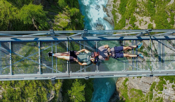
Die Iseltrail-Hängebrücke aus der Vogelperspektive mit zwei Menschen, die darauf liegen und der blauen Isel tief darunter.
1. Michael Herwey took a short break on the Isel Bridge.
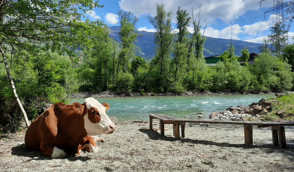
Eine braun-weiß gefleckte Kuh liegt seelenruhig am Ufer der Isel und genießt die Sonne.
2. Johanna Bacher took photos of "Loise" during her summer vacation.
Drohnenaufnahme von der Iseltrail-Hängebrücke im Iseltral.
3. The Isel Gorge was photographed by Toni Außerlechner.
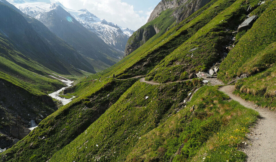
Auf dem Weg zur Clarahütte geht es rechhterhand das Tal entlang.
4. Reinhard Schwald mapped the trail to the Clarahütte.
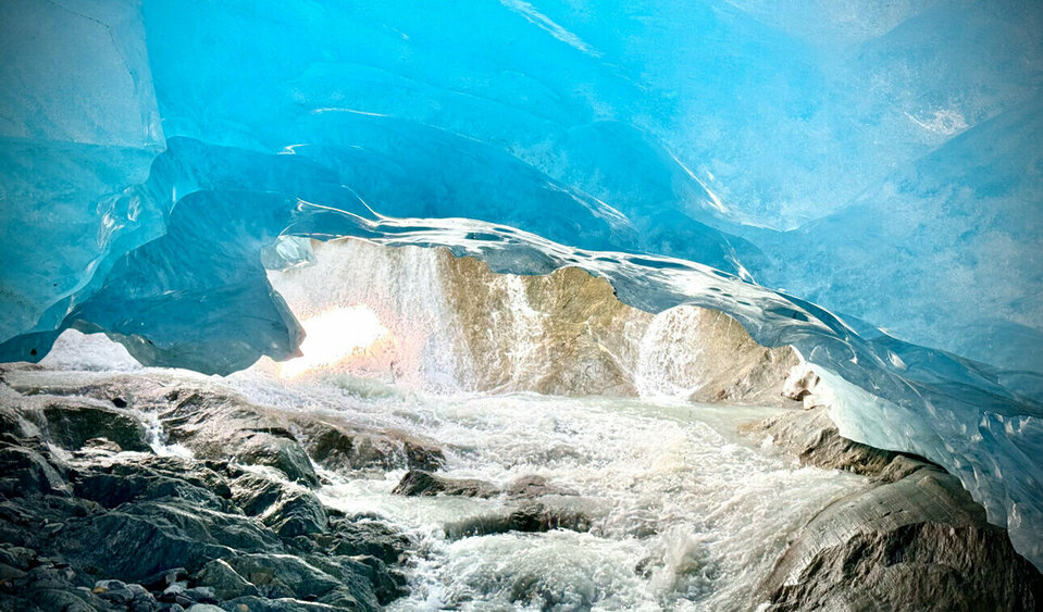
Unter einem Gletscher stehend maßt das Jahrhunderte alte Eis blau an.
5. Bernhard Berger photographed the young Isel River at Glacier Gate.
Der sanftblaue Gletscherfluss Isel bahnt sich sanft seinen Weg durch Osttirol, vorbei an Wäldern und dem Weitwanderweg "Iseltrail".
6. Ulrike Haas captured the tranquility of the Isel River using a long exposure.
Der Gletscherfluss Isel bahnt sich seinen Weg durch die bewaldete Iselschlucht in Osttirol.
7. Marianne Burkhardt's photograph shows the Isel winding its way through the wooded landscape.

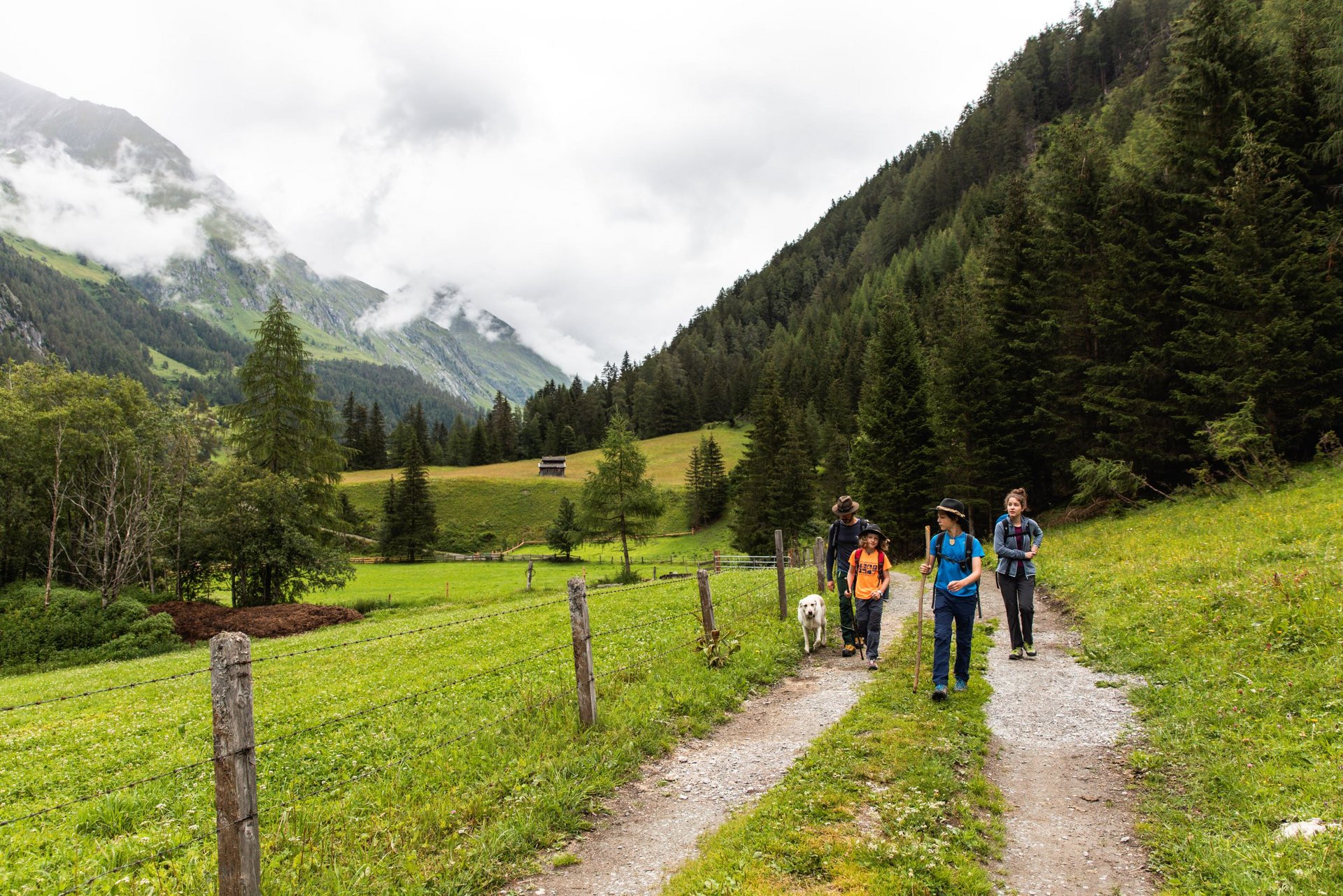
The Iseltrail is a continuously marked hiking trail with numerous vantage points offering views of magical places. All construction work is carried out with care to preserve the natural environment. With a total length of 73.7 kilometers and a total elevation gain of 2,120 meters, the Iseltrail is divided into sections that can be chosen individually. There are three ways to explore it:

  • Public buses to and from the individual sections with fixed accommodations; free use with the Welcome Card provided by your landlord. If you need the Welcome Card before your first overnight stay in Osttirol—that is, on the day of your arrival—please contact us at the Osttirol Tourist Information Office at +43 50 212 212 or [email protected].
  • Hike from section to section with different accommodations. Parking is available in Lienz.
  • Hike with a tent—from campground to campground: PDF listing campgrounds along the Iseltrail
  • Final stage: An overnight stay at the Clarahütte is required.


Luggage transfer: No luggage transfer service is available along the long-distance hiking trail.
Current weather conditions:Osttirol Weather
Current trail conditions and information on trail closures: Contact the respective lodging provider or the tourist information office.

Iselstrand

The Natural Highlights Along the Iseltrail

The Isel is a veritable showcase of natural beauty.

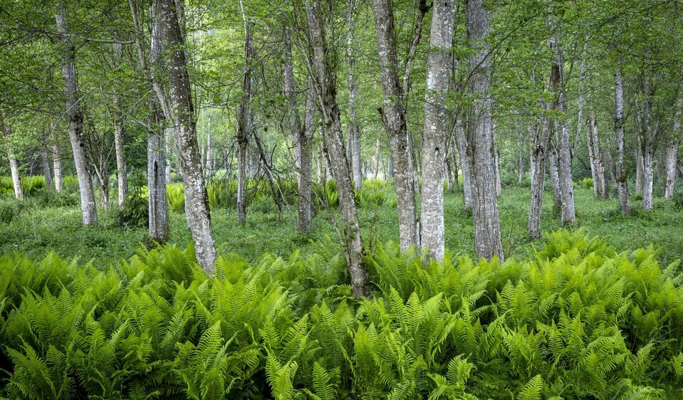
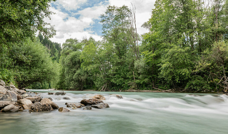
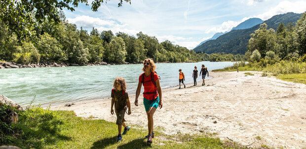
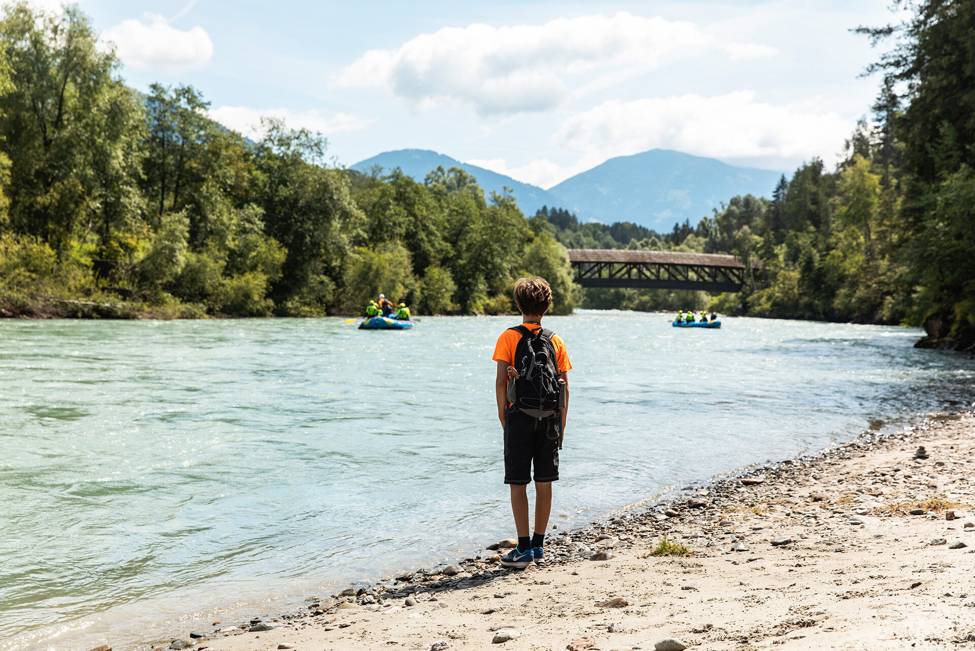
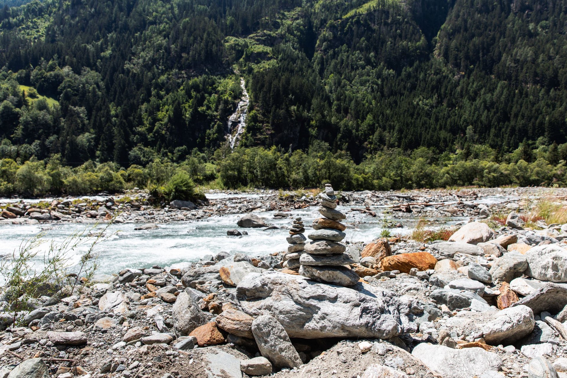
The lower Isel beaches between Lienz and Huben offer a tranquil river landscape with their gravel banks, beaches, and small islands. Through sparse floodplain forests and gray alders, views of the rushing water open up time and again.


This is where the German tamarisk grows—a rare pioneer plant that can withstand both drought and flooding. Its white to pinkish-red flowers bloom between May and August, yet its habitat is steadily shrinking.


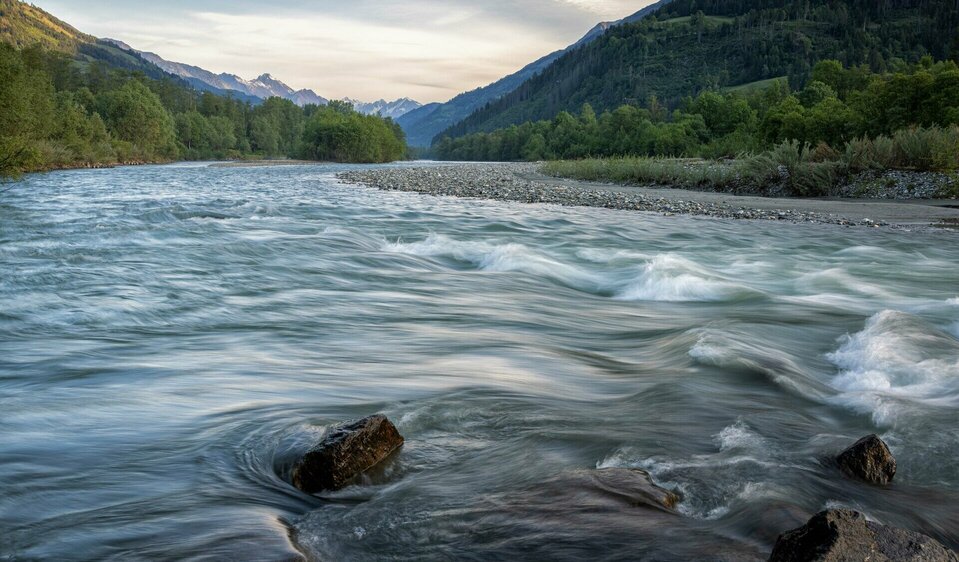
The Isel flows leisurely here, inviting you to pause and reflect. As a typical glacial river, its water level fluctuates depending on the time of day and season: in the morning, it carries little water; in the evening, the level rises due to meltwater. It reaches its highest level in summer and its lowest in winter.


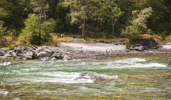
If you listen closely, you can hear the soft murmur of the stones carried along by the current, while the rock dust gives off its own distinctive scent. Numerous resting spots along the banks offer cooling shade and refreshing mountain water in the summer.

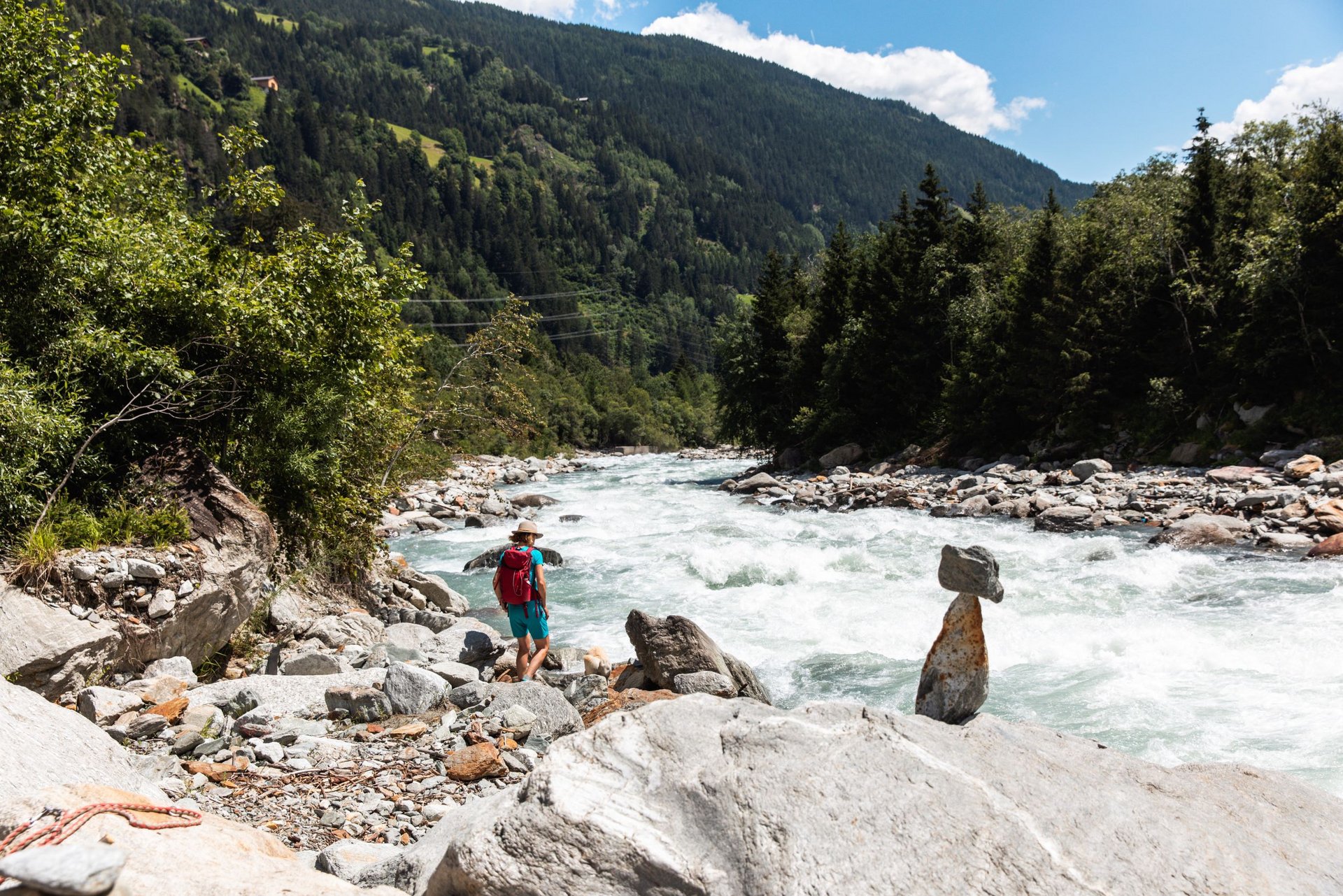
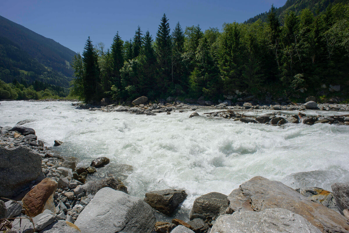
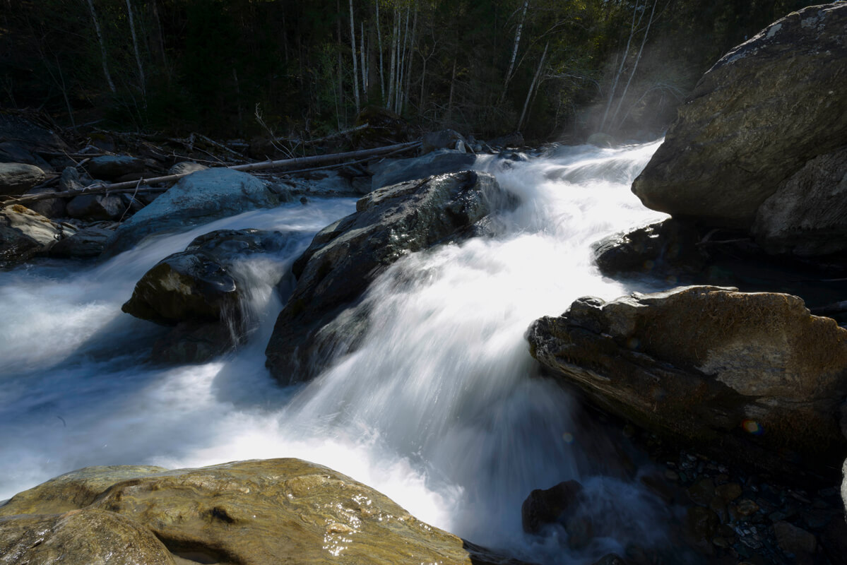
The Feld Rapids mark the first major drop in the Isel’s gradient. As the valley narrows, the river becomes wilder, with foaming rapids and gravel bars lapped by the water.

In summer, the water appears milky blue-green, especially intense in the afternoons when meltwater levels are high.

Here, the Isel shapes its own riverbed, creating pioneer habitats for rare species such as the German tamarisk. The roar of the waterfalls mingles with the muffled rumble of the stones being swept along.


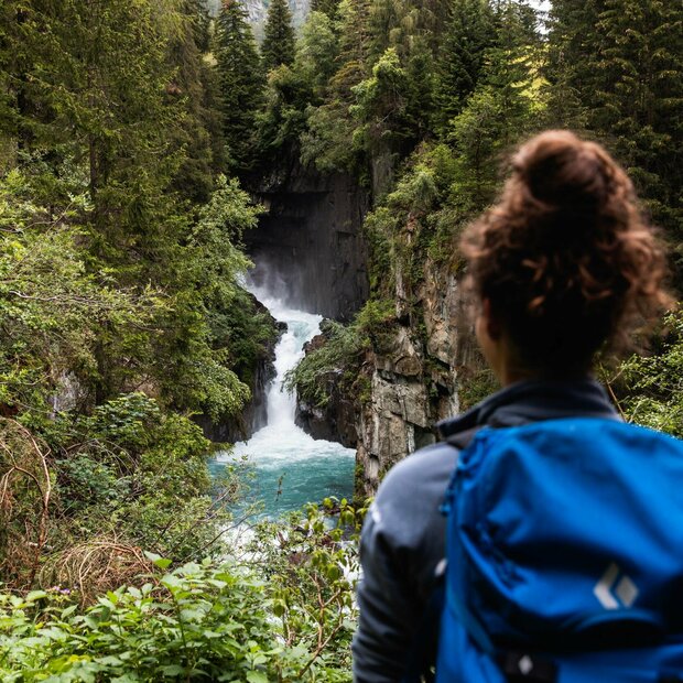
Virgen Cataract —a wild gorge below Virgen featuring the first major waterfall on the Isel River. Glittering spray and roaring water make it an impressive natural spectacle.

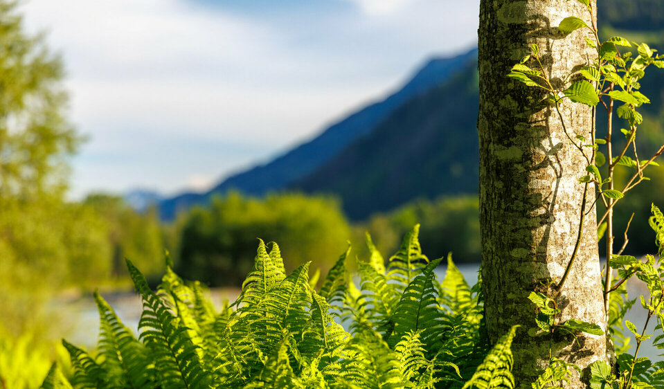
Ferns and rocks characterize the riverbank: alder riparian forests and massive boulders dislodged from the mountains by water and frost.

Deadwood habitat: A near-natural gorge forest with old and young trees, providing a habitat for insects, birds, and fungi. These natural forests are more resilient to climate change.

Since 2020, a trail with a viewing platform has led to the Isel.


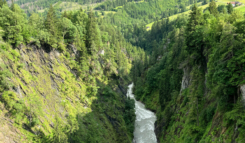
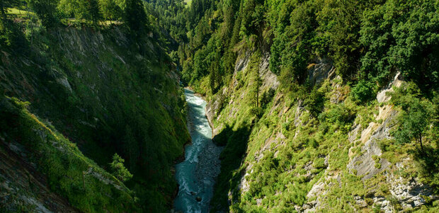
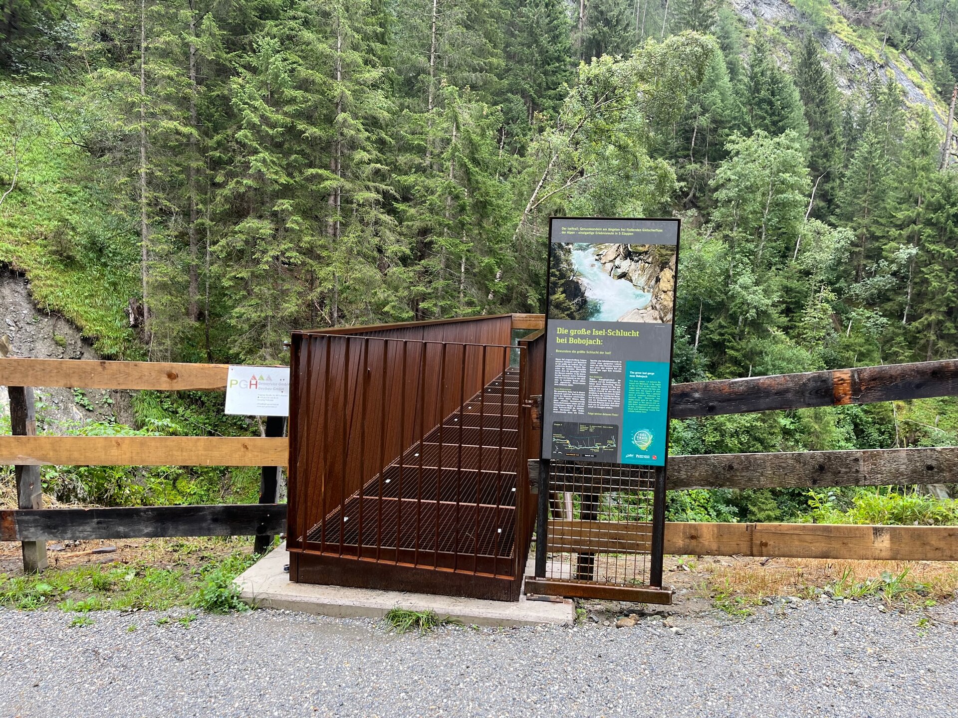
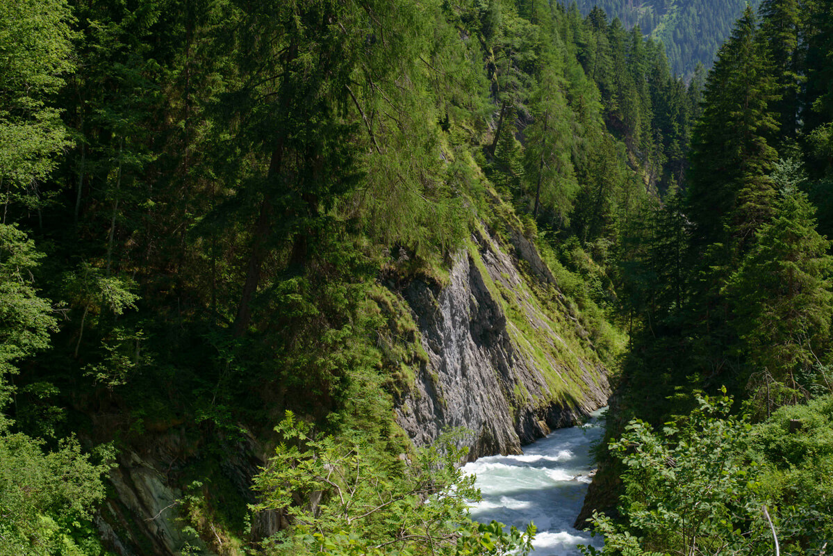
The Isel Gorge near Bobojach is the largest canyon along the Iseltrail. Roaring waterfalls and steep rock faces bring home the immense power of the water as one cataract follows another.

In this untouched wilderness, ancient trees have survived for centuries. They provide a habitat for owls, woodpeckers, and insects that live in dead wood. Their calls can occasionally be heard in the silence.

There is no direct path through the gorge, as rockfalls, mudslides, and avalanches pose a constant danger. Nevertheless, viewing platforms and the Iselsteg near Welzelach offer impressive views of this pristine natural landscape.


But arguably the most spectacular highlight of the Iseltrail—or rather, the Isel Gorge—is the suspension bridge, which opened in 2023: With a span of about 84 meters and a dizzying height of approximately 90 meters , the new suspension bridge spans the Isel Gorge. This architectural marvel,, now awaits intrepid hiking enthusiasts on the Iseltrail.


Die Hängebrücke über die Isel führt den Weitwanderweg namens "Iseltrail" entlang

The Griese (gravel beaches) between Virgen and Prägraten:

Shallow water areas alternate with natural shoreline sections featuring rocky slopes—there is a swimming beach off the coast of Prägraten.

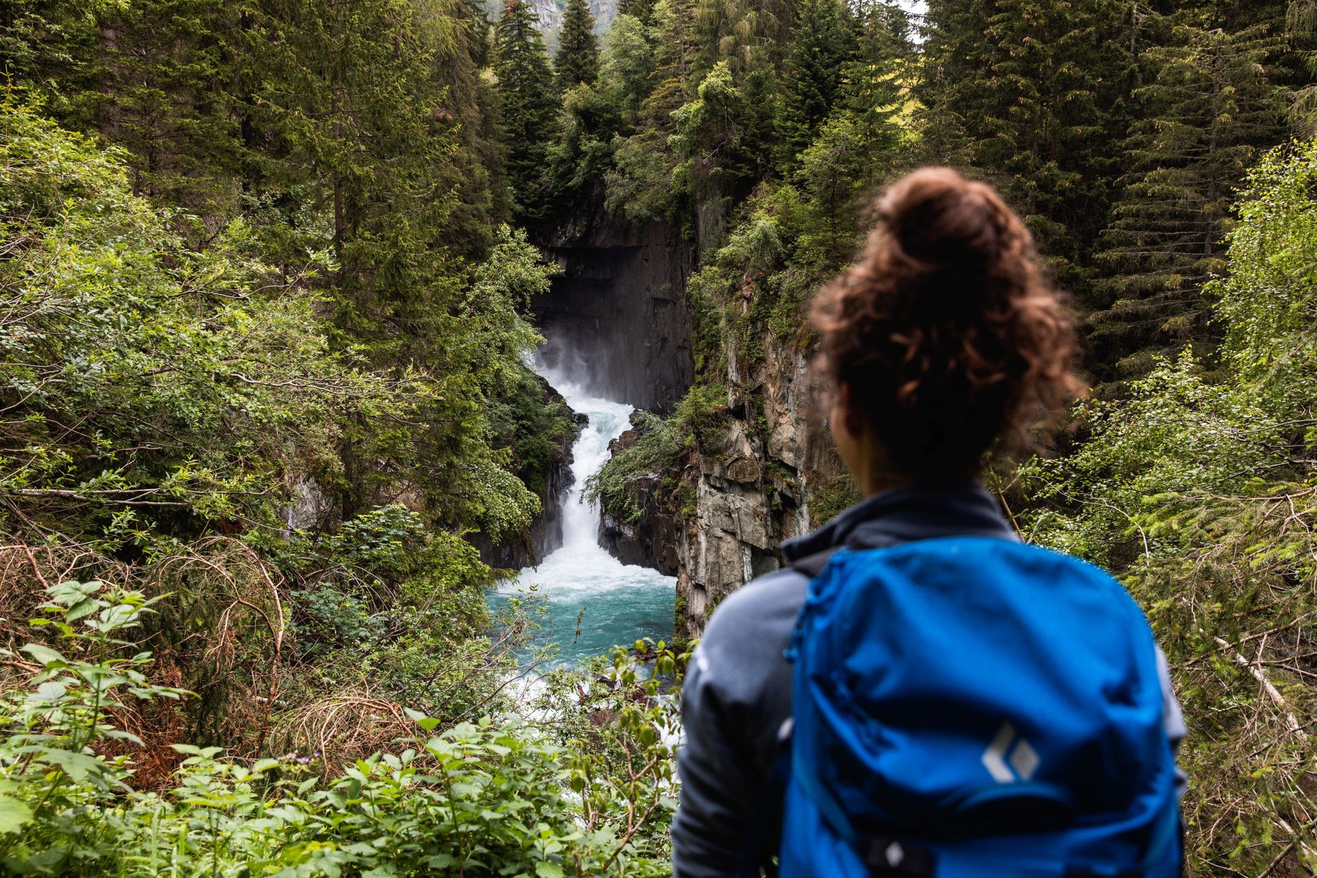
The Zopatnitzen Waterfall near Prägraten plunges into a steep forested gorge, creating an impressive scene of moss-covered mountain forest, rock faces, and cascading jets of water.


On hot days, the rising water mist provides refreshing relief from the heat. The fine water droplets from the waterfall cleanse the lungs, strengthen the immune system, and can alleviate allergies and asthma symptoms.


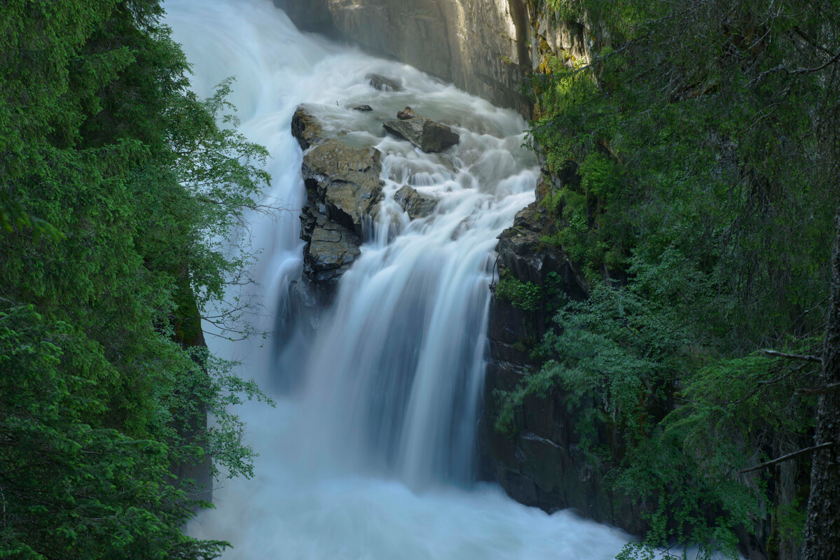
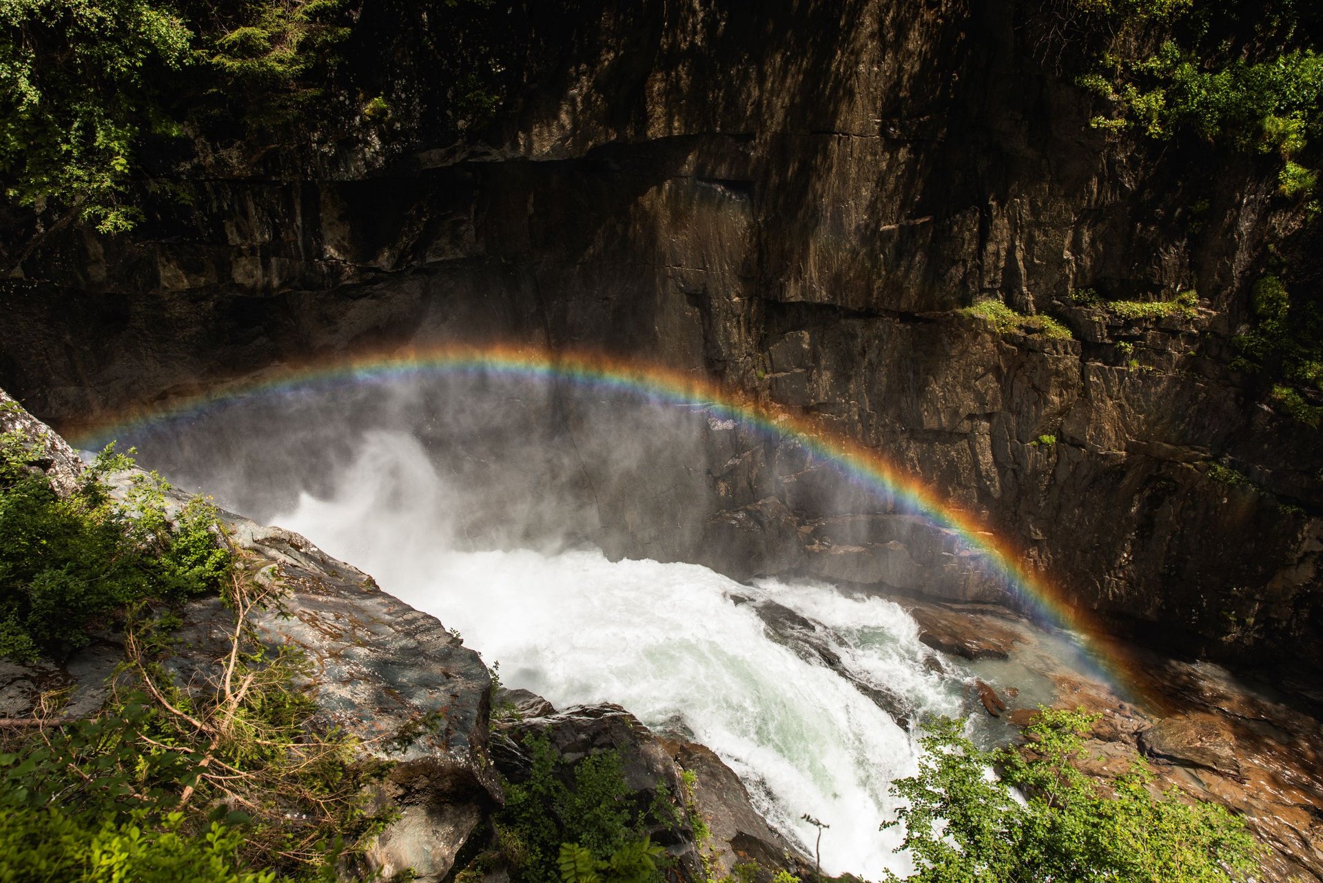
Another highlight is the impressive Glo Gorge near Hinterbichl/Ströden, a new discovery along the Iseltrail. In this wild canyon, unbridled masses of water rage, plunging over two large steps into the depths and whipping up massive spray.

When the water flow is strong and the sun is low in the sky, a dazzling rainbow forms over the gorge. This spectacular scenery can be admired from a viewing platform at the upper edge and, since 2021, also from a new trail at the lower cataract.


The Umbal Falls have been the valley’s main attraction since 1976 and were developed as Europe’s first scenic water trail. Originally conceived as a protective measure against plans for a power plant, the trail has become a symbol of the preservation of the Isel River.


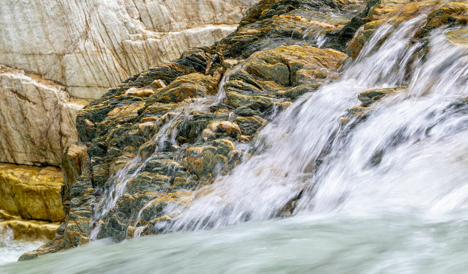
The imposing tiered waterfalls impressively demonstrate the landscape-shaping power of the glacial river. The smooth, polished green rock and the eroded hollows bear witness to the relentless force of the water.

On the water observation trail, visitors get up close and personal with the wild river. Platforms jut out into the spray, letting you feel the mist and offering a thrill at a height of 30 meters. Today, the Umbal Falls epitomize the beauty of the Nationalpark Hohe Tauern.

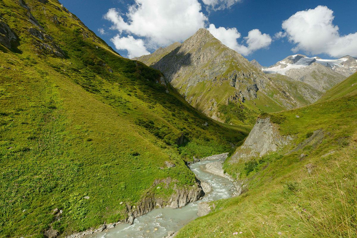
At the Daber Steg, the view of the majestic Rötspitze (3,496 m), surrounded by glaciers, opens up for the first time. The upper Isel Valley—also known as the Umbal Valley—impresses with its pristine high-mountain landscape in the Nationalpark Hohe Tauern.

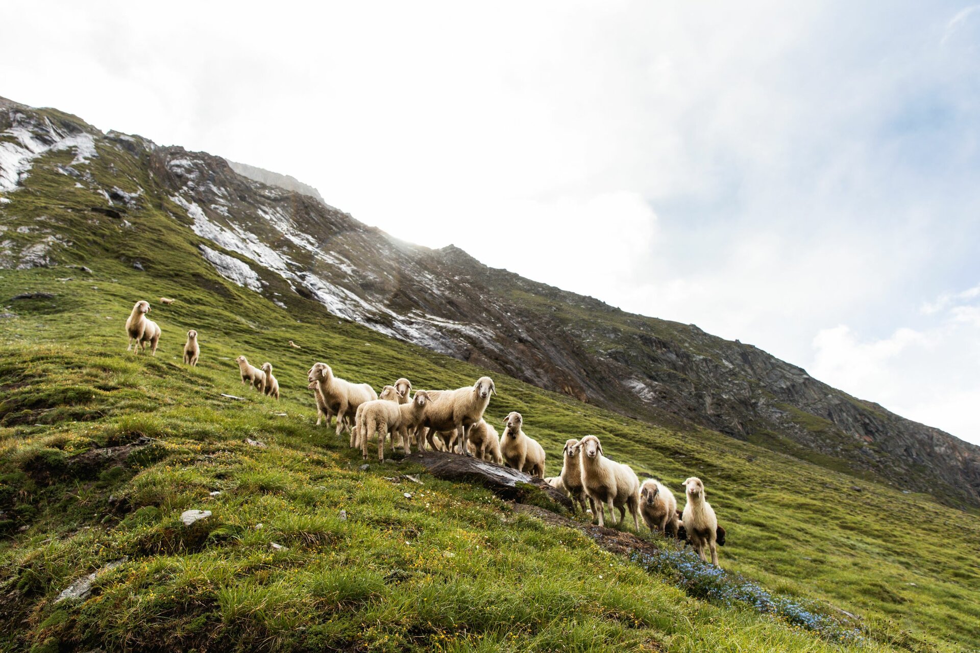
Apart from the Clarahütte and a few flocks of sheep, the wilderness is virtually untouched. Centuries ago, the glaciers extended far into the valley, but due to global warming, the Welitzkees is now melting rapidly.

Despite the extreme conditions, scree and sandy areas are forming here as well, which are particularly worthy of protection as habitats for rare plants such as the two-colored sedge.


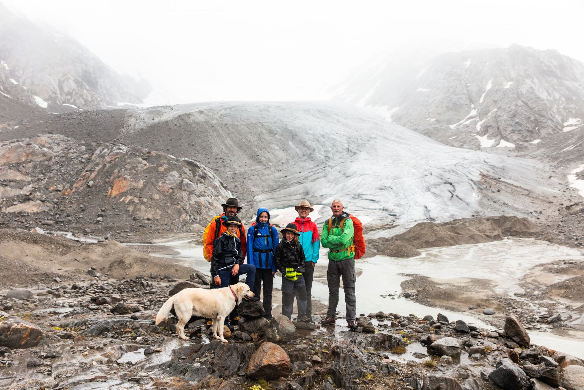
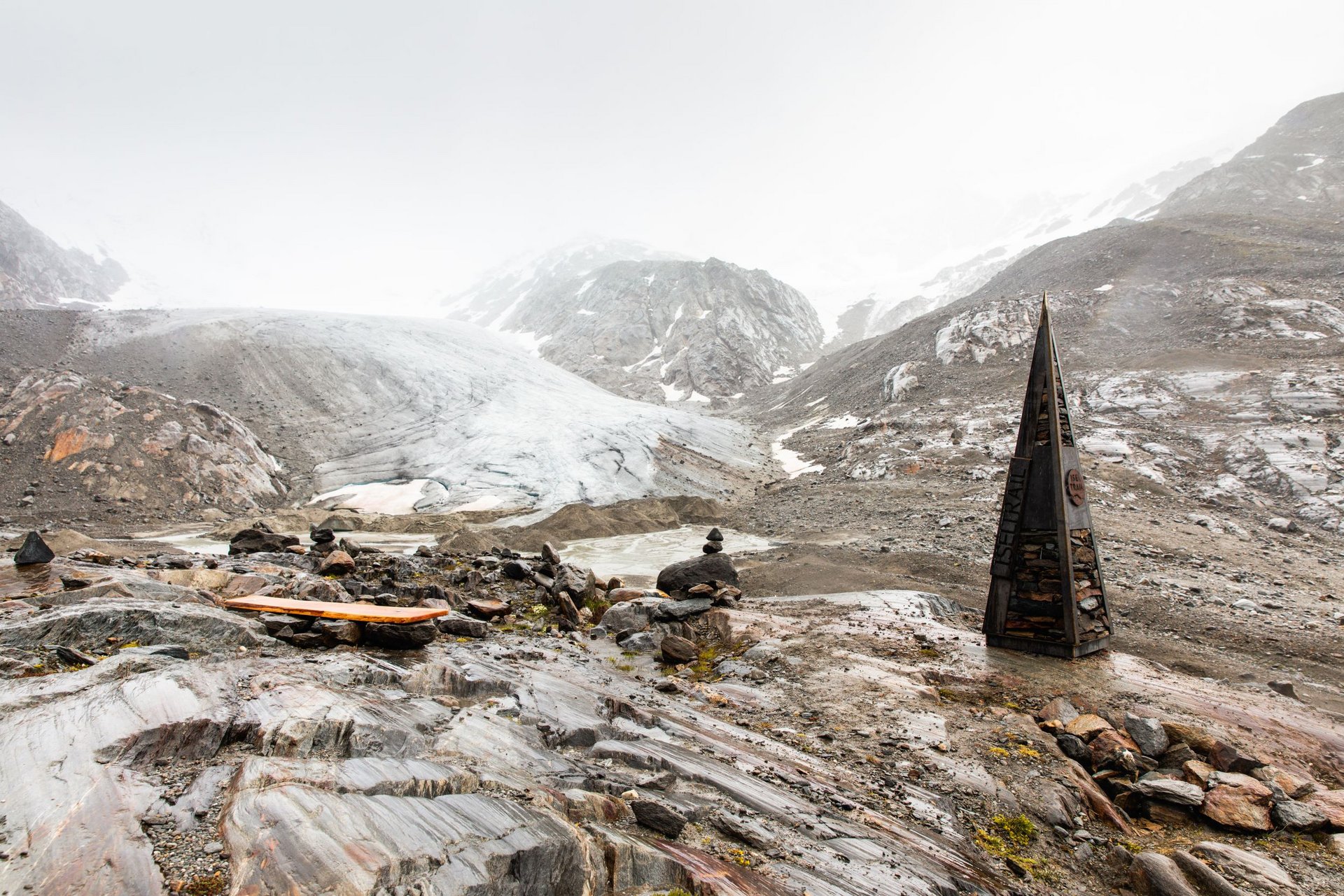
The source of the Isel is finally reached at the glacier tongue of the Umbalsee below the mighty Dreiherrenspitze (3,499 m)— the highlight of the hike.


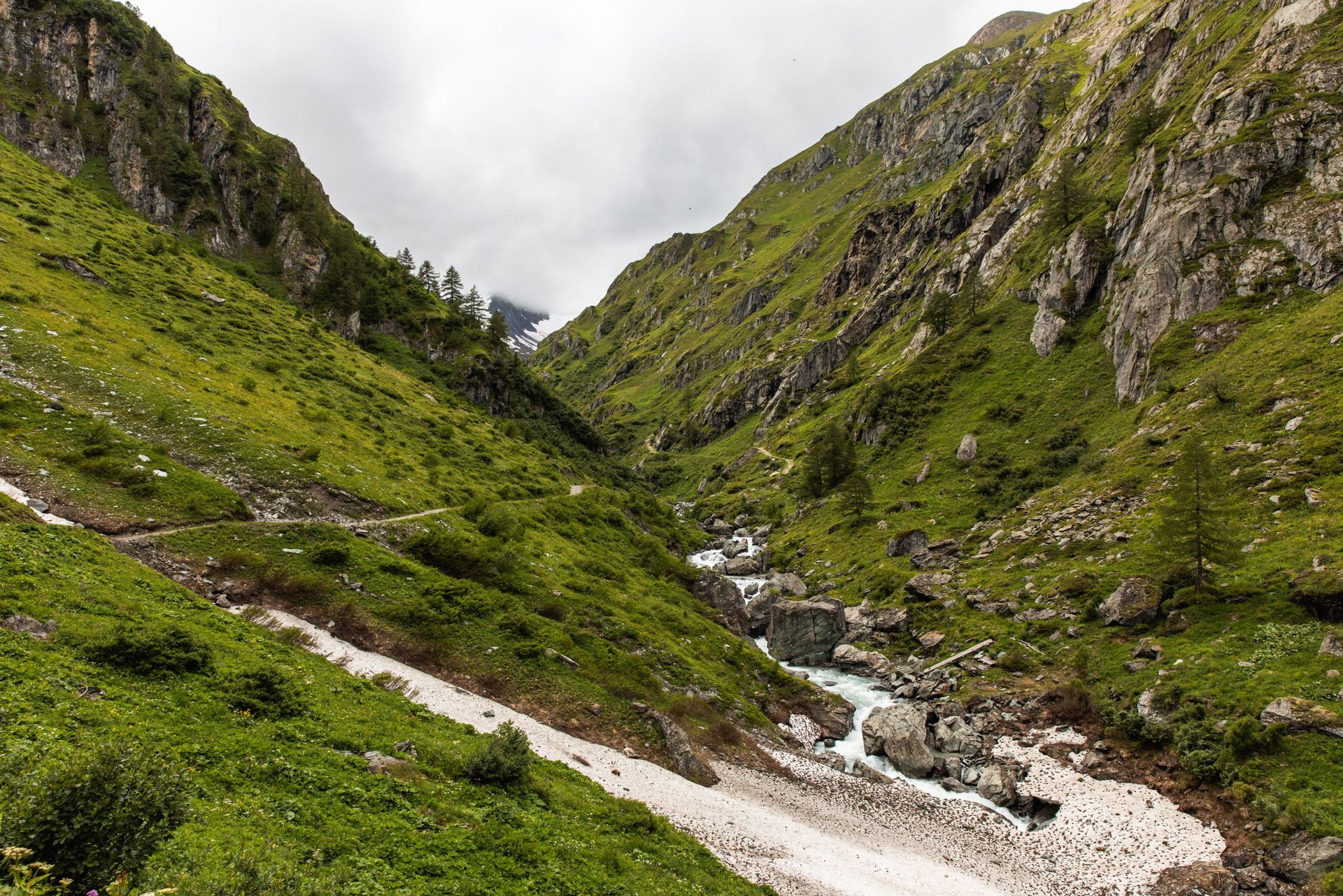
The Iseltrail winds through flower-filled alpine meadows and a steep escarpment that was once covered by the glacier before reaching the arctic climate zone of the Nationalpark Hohe Tauern. Here, the Isel leaves the glacier through a glacier gate and begins its journey all the way to the Black Sea.


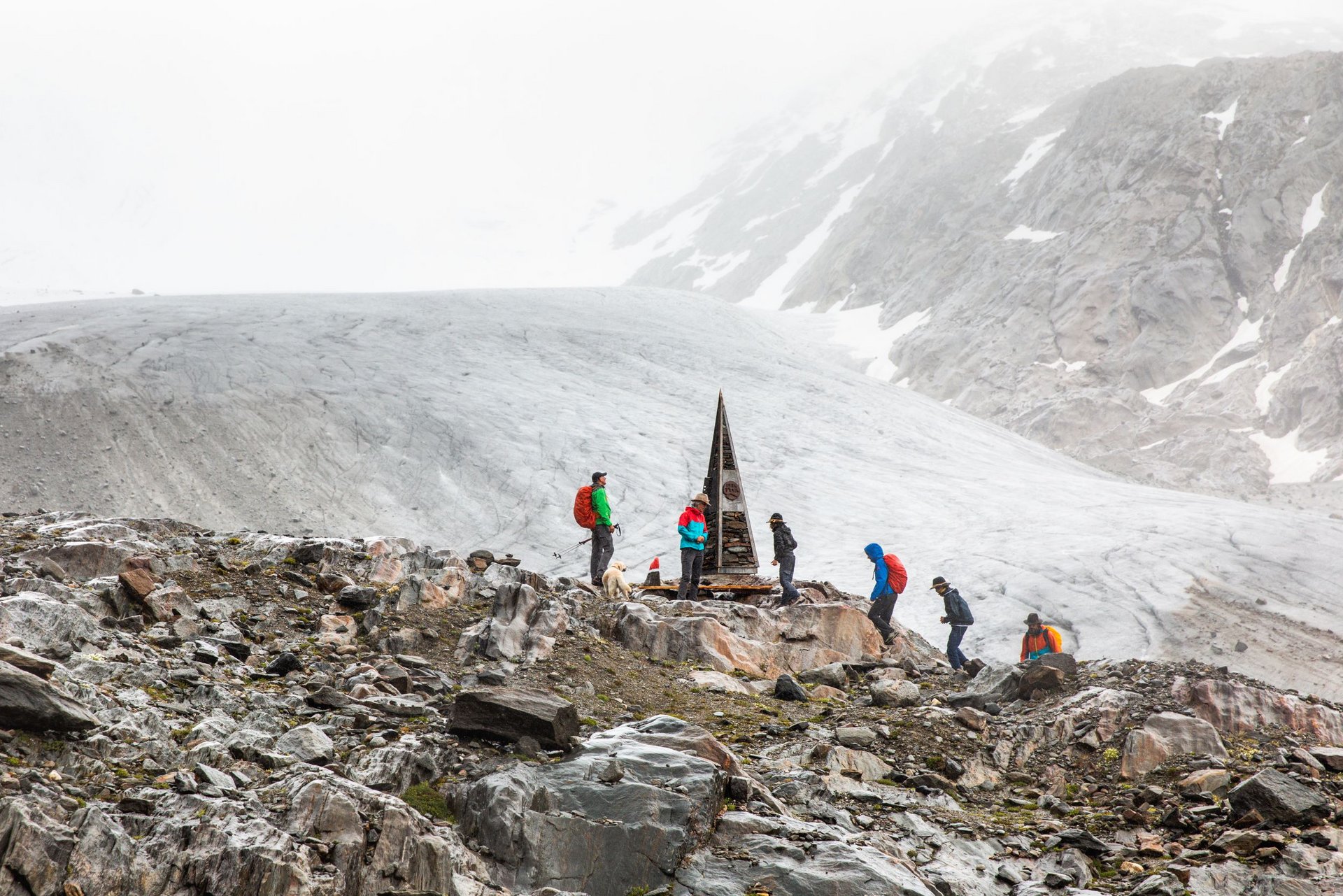
In winter,glaciers store water in the form of ice and release it in summer as meltwater, which feeds major Alpine rivers. But due to global warming, the Umbalkees is shrinking rapidly—by over 700 meters since 1990. Researchers predict that many glaciers in the Eastern Alps will disappear by mid-century, which could lead to water shortages and more unstable mountain slopes.


Nevertheless, a new landscape is emerging: barren areas where pioneer plants are leaving the first traces of life. This unique scenery accompanies the Iseltrail all the way to the Gletschertor, the river’s source.

The Stages of the Iseltrail

Iseltrail

starting point:
Lienz
destination point:
Gletscherzunge am Umbalkees
highest point:
2530 m
total walking time
24:30 h
distance
75.29 km
🔋
altitude meters uphill
2347 hm
🞽
difficulty
average

Iseltrail Stage 1

starting point:
Lienz
destination point:
St. Johann im Walde
highest point:
750 m
total walking time
4:30 h
distance
15.92 km
🔋
altitude meters uphill
132 hm
🞽
difficulty
average

Iseltrail Stage 2

starting point:
St. Johann im Walde
destination point:
Matrei in Osttirol
highest point:
968 m
total walking time
4 h
distance
14.51 km
🔋
altitude meters uphill
234 hm
🞽
difficulty
average

Iseltrail Stage 3

starting point:
Matrei in Osttirol
destination point:
Prägraten am Großvenediger
highest point:
1318 m
total walking time
5:30 h
distance
16.9 km
🔋
altitude meters uphill
668 hm
🞽
difficulty
average

Iseltrail Stage 4

starting point:
Prägraten am Großvenediger
destination point:
Clarahütte
highest point:
2040 m
total walking time
4:30 h
distance
11.6 km
🔋
altitude meters uphill
780 hm
🞽
difficulty
average

Iseltrail Stage 5

starting point:
Hut Clarahütte
destination point:
Glacier tongue at the Umbalkees
highest point:
2530 m
total walking time
6:30 h
distance
16.4 km
🔋
altitude meters uphill
532 hm
🞽
difficulty
difficult

The Isel Pioneers on the Iseltrail

Zwei Personen mit Wanderausrüstung und Hüten stehen an einem See und blicken in die Ferne.

Breakdown by Stages

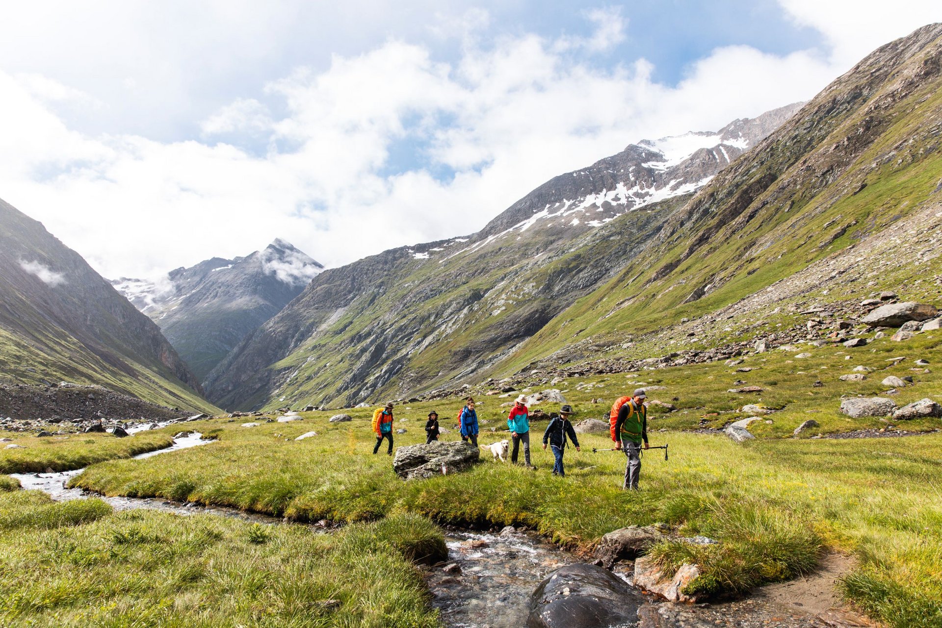
The Iseltrail is divided into sections of varying lengths, each of which runs between towns offering dining and lodging options. The Iseltrail can therefore be hiked quite flexibly—depending on your mood, fitness level, need for relaxation, or simply the joy of walking. Below you’ll find a suggested 5-stage itinerary!

The Isel: A Natural Wonder

Today, only a few major rivers in the Alps can still flow freely, unimpeded by dams. The Isel in Osttirol, along with the Lech in North Tyrol and the Tagliamento in Friuli, Italy, is among these last great wild Alpine rivers in Central Europe. Nowhere is its abundant water volume dammed for energy production or diverted into power plants. Over long stretches, the Isel therefore features an unbridled, constantly changing river environment with a unique diversity of rare ecosystems and species. This is what makes for a truly unique natural experience.

youtube video

A Pulsating Lifeline

Unlike the Lech and the Tagliamento, the Isel is also a glacial river. It rises at the Umbalkees, high up in the wilderness of the Nationalpark Hohe Tauern. From the glacier, it rushes down as the pulsating lifeline of Osttirol until it flows into the Drau at Lienz. In this way, it connects the vastness of alpine seclusion with the cultural landscape in the valley floor.


Rare Unspoiled Nature

Together with its tributaries, it forms a vast, pristine water system. Its tributaries, too, are largely untouched, ensuring the purest water quality. A rarity in a landscape heavily shaped by human activity. The Isel is thus the longest glacial river in the entire Alps that still flows freely and is therefore ecologically functional.


Fluctuating Water Flow

Glacial rivers are different: their flow varies significantly depending on the time of day or season, depending on the meltwater supply from the glaciers in the watershed. The flow of glacial rivers during the summer months is determined by glacial melt and exhibits a typical diurnal pattern: On a cool morning, much less water flows than in the evening because the glacier thaws less rapidly. In the early afternoon, however, solar radiation on the glacier is at its strongest, and the ice melts rapidly. In the case of the Isel, the meltwater does not reach the valley floor until early evening and arrives at the Isel’s mouth in Lienz during the night.


Dynamic River Environment

In such a dynamic river environment, high water can shift the gravel deposits, constantly creating new islands, gravel bars, and riparian areas. This continuously generates new habitats that are repopulated. In scientific terms, these are called “pioneer sites.” They are essential for a number of rare animal and plant species that have adapted to constant change and depend on it for their continued survival.


The Rare Tamarisk Plant

One such plant is the German tamarisk (Myricaria germanica), the only species of its genus found in Central Europe. As any older botany book attests, it used to be widespread along our rivers. Today, it is a rarity. Since it requires a great deal of light, but willows and alders easily overgrow it, it can only survive in the long term where the shifting course of rivers continually creates new sand and gravel banks.


Protected Area as a Flora-Fauna-Habitat

The tamarisk is an unmistakable indicator of a river’s undisturbed dynamics and ecological health. For these reasons, the Isel has been designated a protected area under the EU’s Flora-Fauna-Habitat Directive. Tamarisks are found primarily in the lower Isel Valley. Please observe the tamarisk trees from a respectful distance and do not step onto the gravel banks due to nesting birds!

Key Facts About the Isel River

Source: Umbal Glacier at an elevation of 2,600 m
Mouth: Drava River in Lienz at an elevation of 668 m
Elevation difference: 1 ,932 meters

Total length: 57.26 km
Watershed: 1,200.36 km²
Percentage of natural or near-natural river stretches: 100%

Notable fauna: Green sandpiper, grayling, grass frog, common toad, yellow-bellied toad, otter, Danube salmon
Notable flora: German tamarisk

You might also be interested in this

Debanttal
Schobertreck

Over the course of millennia, the forces of nature shaped the rugged landscape of the Schober Group.

Adlerweg Osttirol Etappe 2
Adlerweg Osttirol

Walk Where the Eagle Flies: Discover the most beautiful route connecting Austria’s highest mountains, in the heart of the Nationalpark Hohe Tauern.

Newsletter

Subscribe to our newsletter and receive the best tips every month for current offers, mountain tours, events and much more.