Winter hiking Bichl - Hinterbichl

A winter hiking trail with a magnificent view.

The most important at a glance

distance
3.8 km
altitude meters uphill
🔋
145 m
altitude meters downhill
🔋
145 m
walking time uphill
45 min
walking time downhill
45 min
total walking time
1:30 h
highest point
🞍
1478 m
difficulty
🞽
easy
state:
closed
fitness:

* * * * *

🞙🞙🞙🞙🞙

technique:

* * * * *

🞙🞙🞙🞙🞙

public transport:

Bus stop Prägraten a. G. Gemeinde

parking:

Follow the L24 Virgentalstraße from Matrei through Virgen to Prägraten, and then on to Hinterbichl, the last hamlet in the municipality. The restaurant, complete with car park, is situated about 50 metres past the stone chapel on the right-hand side. The winter walk starts from here.


Car park Gemeindeamt Prägraten a. G.
starting point:
Tourist information Prägraten a. G.
destination point:
Gasthof Islitzer
best season:
JAN, FEB, MAR, APR, DEC

arrival

Stop

Prägraten am Großvenediger Hinterbichl

Prägraten am Großvenediger Gemeindeamt

Prägraten am Großvenediger Hinterbichl Edelweiß

altitude profile

Pdf file

Gpx file

Interactive map

Current weather conditions

Sonne-02.png

12°C/54°F °C

state: closed

Description

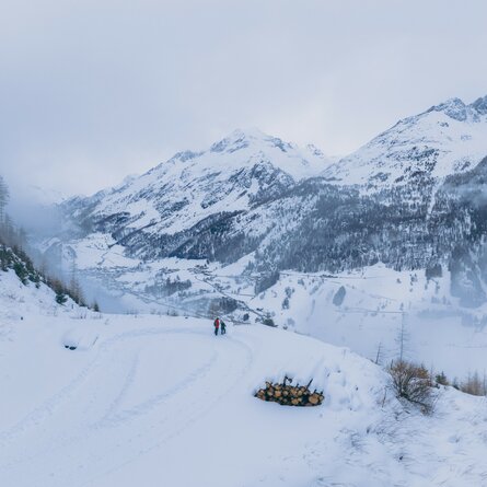
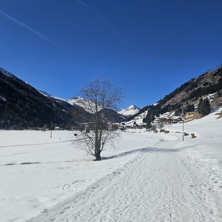
From the hamlet of ‘Bichl’, near ‘Adis Treff’, follow the groomed winter walking trail into the valley towards ‘Hinterbichl’ until you reach the road. Follow the road westwards until you reach your destination, ‘Hinterbichl’. There, you can warm up and refresh yourself at the Gasthof Islitzer. The return journey follows the access path.

Newsletter

Subscribe to our newsletter and receive the best tips every month for current offers, mountain tours, events and much more.