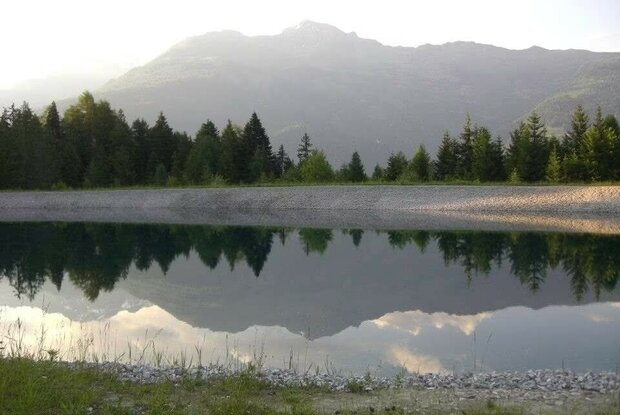
Hike to the Speichersee Taxer Moos 1,062m

Short family-friendly loop to a peaceful reservoir.

The most important at a glance

distance
1.1 km
altitude meters uphill
🔋
50 m
altitude meters downhill
🔋
53 m
walking time uphill
15 min
walking time downhill
20 min
total walking time
45 min
highest point
🞍
1062 m
difficulty
🞽
easy
public transport:

Bushaltestelle Hochstein / Schloss Bruck. From the bus stop, take the Schloßbergbahn to the Moosalm.

parking:

Hochstein-Talstation car park

starting point:
Schloßbergbahn mountain station
destination point:
Speichersee Taxer Moos
best season:
MAY, JUN, JUL, AUG, SEP
route typ:
family tour

altitude profile

Pdf file

Gpx file

Interactive map

Current weather conditions

Sonne-03.png

11°C/52°F °C

Description

Just a few minutes' walk from the mountain station of the Schlossbergbahn, passing the llama enclosure, you will find the Taxer Moos reservoir. The ascent and descent are possible via both the forest road and the hiking trail. A place that invites you to linger!

Newsletter

Subscribe to our newsletter and receive the best tips every month for current offers, mountain tours, events and much more.

en