Circular hike Pustertaler Almweg

The most important at a glance

distance
9 km
altitude meters uphill
🔋
380 m
altitude meters downhill
🔋
380 m
walking time uphill
1:45 h
walking time downhill
1:15 h
total walking time
3 h
highest point
🞍
2000 m
difficulty
🞽
average
fitness:

* * * * *

🞙🞙🞙🞙🞙

technique:

* * * * *

🞙🞙🞙🞙🞙

public transport:

Tuesdays with the Lienzer Dolomiten hiking bus.

parking:

Pedretscher Kaser parking lot

starting point:
Pedretscher Kaser parking lot
destination point:
Pedretscher Kaser
best season:
APR, MAY, JUN, JUL, AUG, SEP
route typ:
circuit

arrival

Parking spot

Parkplatz Pedretscher Kaser 1.700m

altitude profile

Pdf file

Gpx file

Interactive map

Current weather conditions

Gewitter-00-03.png

21°C/70°F °C

Description

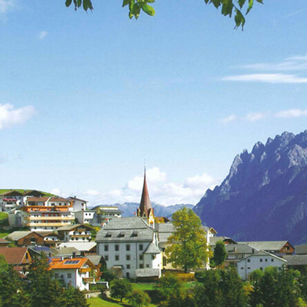
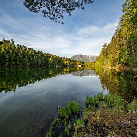
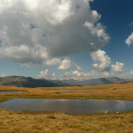
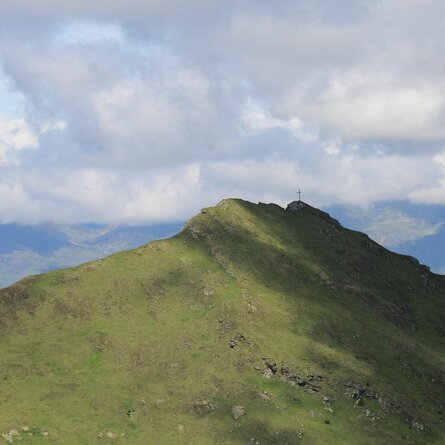
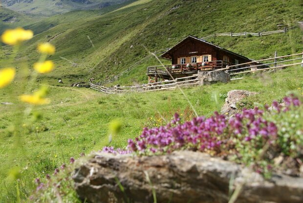
Those who want to give their soul a rest should hike along the Pustertaler Almweg and enjoy the encounters with the rare plants and animals of this region. The charming alpine path is located above the Pustertaler Sonnenterrasse and is accessible from several points. Here you will also find a variety of alpine huts, which are called "Kasern" by the local population.


From the car park after the gate, cross the bridge over the Gampenbach, then take the footpath to the right and alternately

At the Waldhuber Kaser, turn left in a westerly direction along the trail to the Huber Kaser 1,950 m, then follow the Pustertaler Höhenweg in a south-westerly direction to the Gampener Kaser 1,963 m, and from there follow the steep tractor path along the Gampenbach back down to the starting point.
Newsletter

Subscribe to our newsletter and receive the best tips every month for current offers, mountain tours, events and much more.