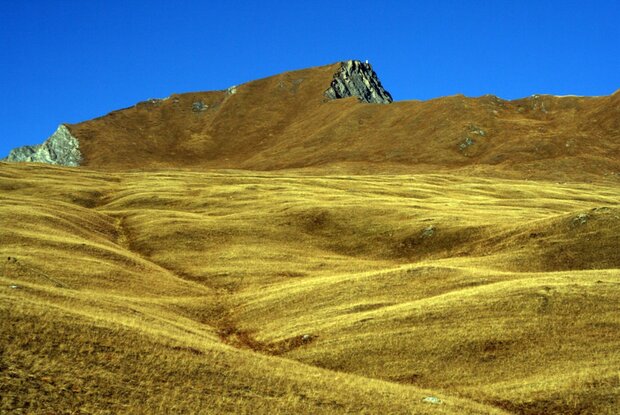
Figerhorn

With a direct view of the Großglockner.

The most important at a glance

distance
6.64 km
altitude meters uphill
🔋
810 m
altitude meters downhill
🔋
810 m
walking time uphill
3 h
walking time downhill
3 h
total walking time
6 h
highest point
🞍
2744 m
difficulty
🞽
difficult
fitness:

* * * * *

🞙🞙🞙🞙🞙

technique:

* * * * *

🞙🞙🞙🞙🞙

public transport:

Bus line 952

parking:

via the Kalser Glocknerstraße to the Glocknerwinkel parking lot near the Lucknerhaus

starting point:
Parkplatz Lucknerhaus
destination point:
Figerhorn
best season:
MAY, JUN, JUL, AUG, SEP, OCT

arrival

Parking spot

Parking area Glocknerwinkel

altitude profile

Pdf file

Gpx file

Interactive map

Current weather conditions

Sonne-05.png

9°C/48°F °C

We recommend this tour only when the weather is good.

Description

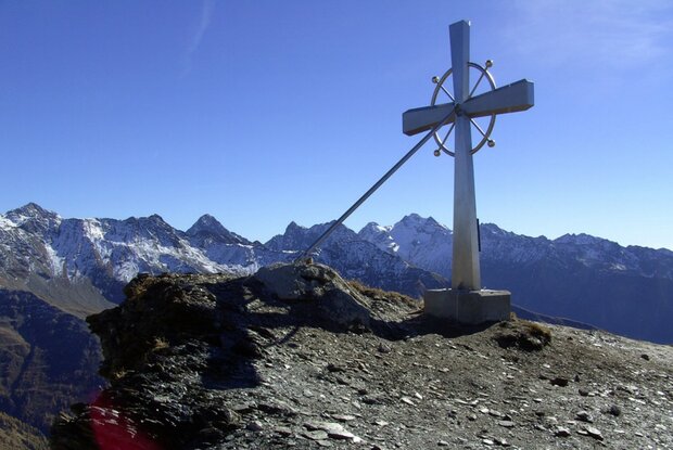
The most direct route leads from the Lucknerhaus along the Wendelin-Weingartner Trail to the summit. At the start, the trail winds upward through a series of switchbacks to the “Greiwiesen.” From there, the terrain flattens out somewhat all the way to the “Grei Bühel.” From there, you hike northward along the trail toward the summit slope of the Figerhorn. Finally, you climb the last few meters up the ridge toward the beautiful summit cross!

A special highlight of this hike is undoubtedly the fantastic view of the Großglockner and the surrounding mountain panorama.

Newsletter

Subscribe to our newsletter and receive the best tips every month for current offers, mountain tours, events and much more.