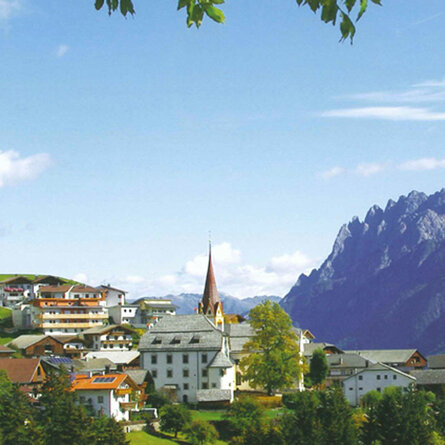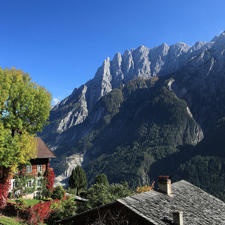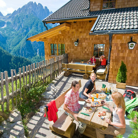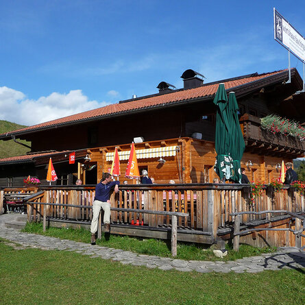
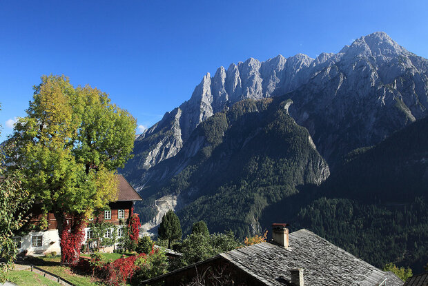
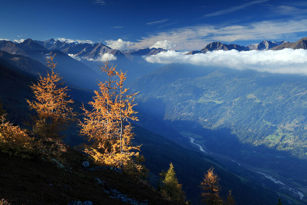
Setting off from Leisach towards Lienz, you’ll reach the mountain village of Bannberg, where the Hochstein Road branches off. Along this sunny drive, you’ll be treated to some of the finest views of the spectacular Spitzkofel peaks, amongst other sights. Passing old farmhouses familiar from local films, and through a sparse larch forest, you’ll reach the car park just below the Hochstein Hut at 1,900 metres above sea level. From there, you’ll have the best view over the Lienz valley. Our tip: A short walk (0.5 hours) to the “Hochsteinkreuz” and back across the vast, flat alpine pastures. The toll road is open from early May to late October.
Menu