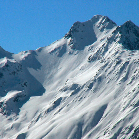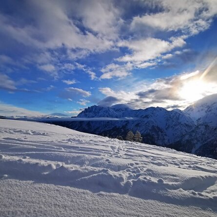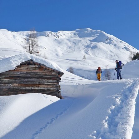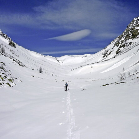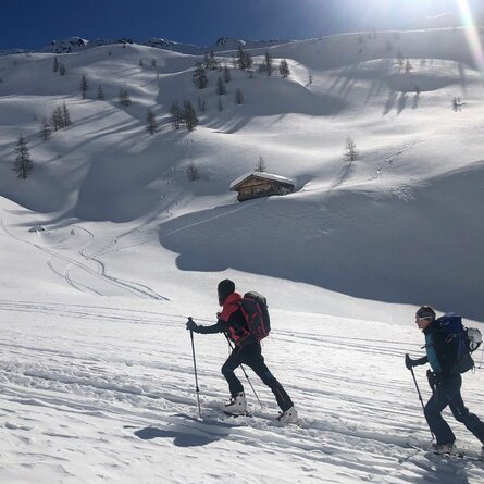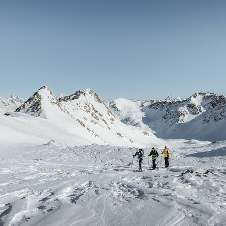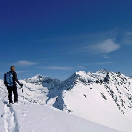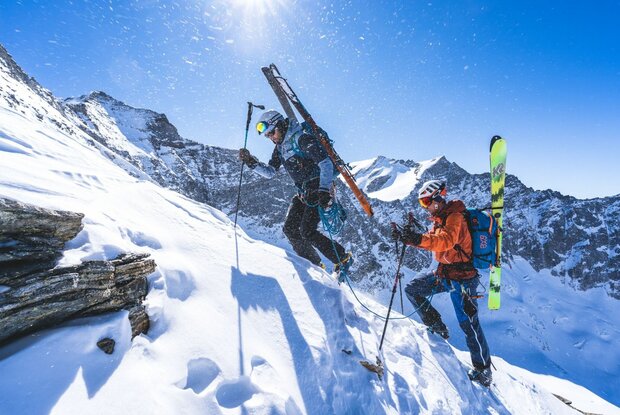
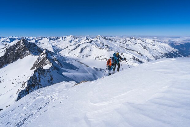
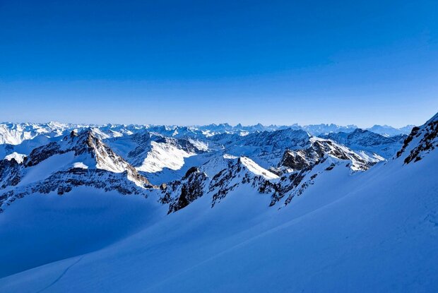
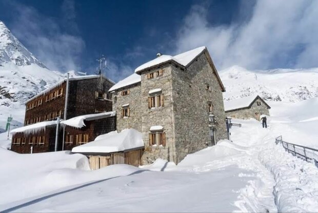
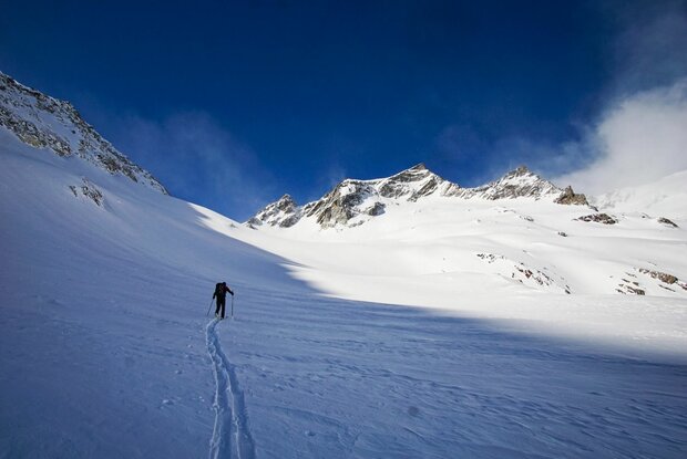
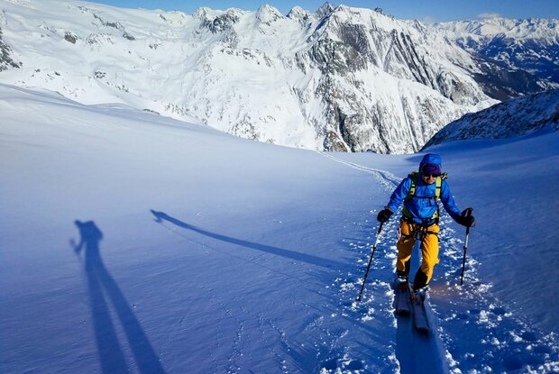
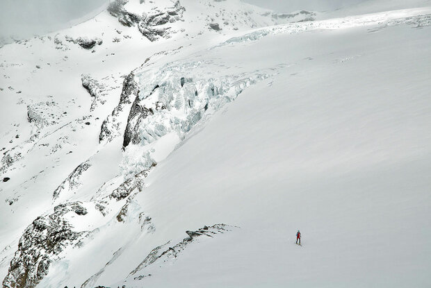
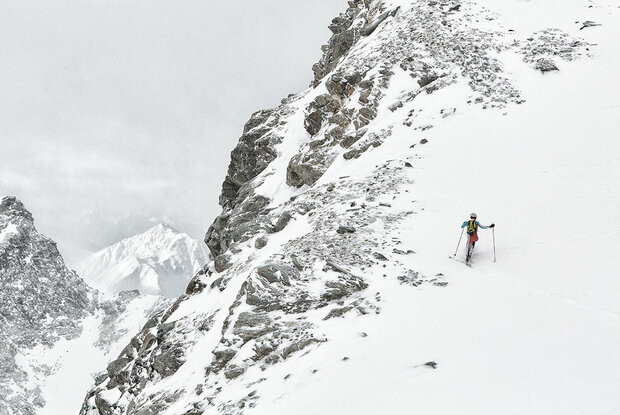
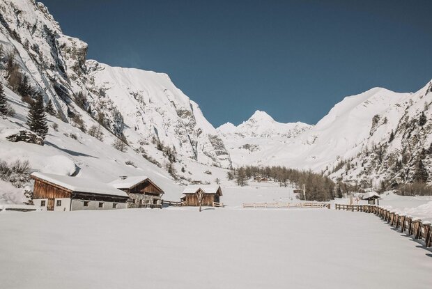
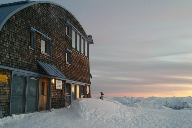
A classic ski tour takes you up the mountain and, once you’ve reached the summit, back down into the valley. But the Hoch Tirol Ski Route is no classic ski tour. On the Hoch Tirol Ski Route, the accommodation is right on the mountain, and you spend the night in mountain huts at altitudes of over 2,000 metres – once even at 2,801 metres (the Südlhütte on stage 5). This challenging ski route starts in Kasern in South Tyrol and leads over the peaks of the Venediger Mountains to Austria’s highest mountain, the Großglockner (3,798 m). An overwhelming sense of achievement is guaranteed upon arrival at the final stage destination, Kals am Großglockner! The athletic achievement, the proximity to the forces of nature surrounding the glaciers and the many summit conquests will remain etched in your memory.
Menu