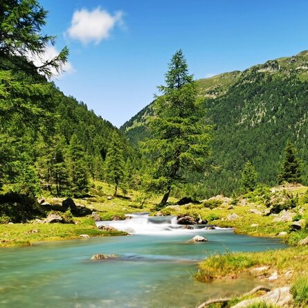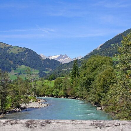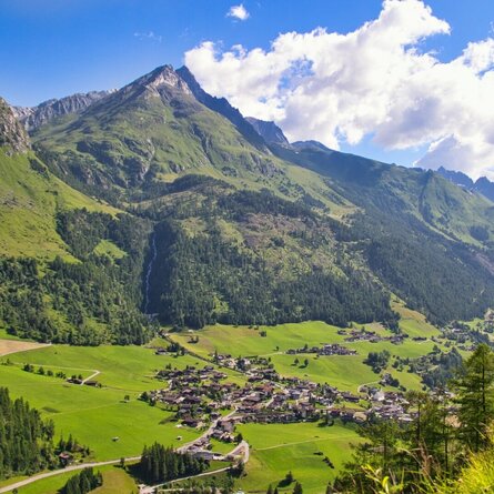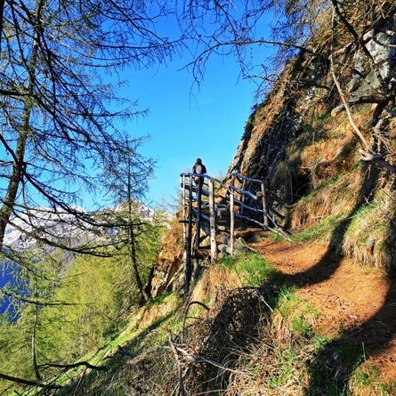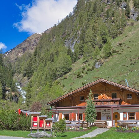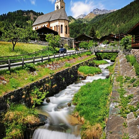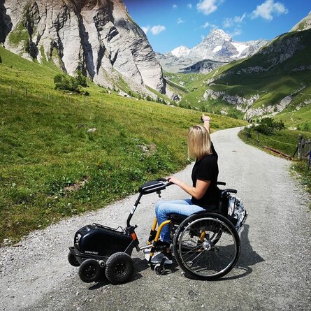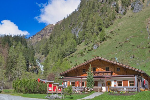
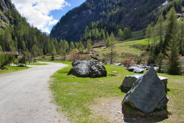
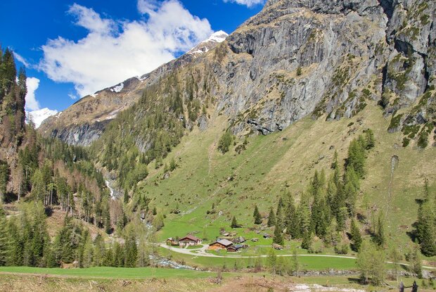
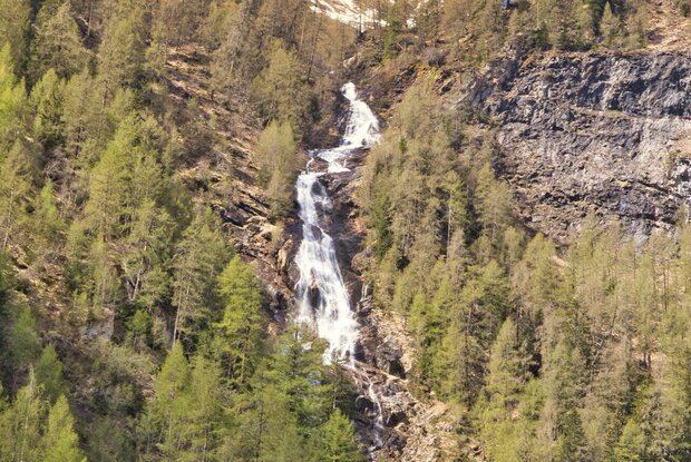
After driving to the Ströden car park – which is also easily accessible by Postbus – the short but lovely walk to the Islitzer Alm at 1,513 metres begins. The wide track is mostly flat, though there is a slightly steeper section to negotiate halfway along. Here you’ll also find a small viewpoint overlooking the impressive cascade of the River Isel.
The Islitzer Alm is a popular and easily accessible day-trip destination, but also serves as a stop-off point on longer hikes to the Clara Hütte or the Neue Reichenberger Hütte. Particularly impressive is the water trail along the Isel, which leads to the Umbal Falls in just a few minutes’ walk.
To refuel, coffee and cake are served at the Islitzer Alm, whilst hearty snacks and other specialities are also on the menu. A children’s playground right in front of the Alm rounds off the outing as a great experience for the little ones too.
During the summer months (daily from 10.00 am to 4.00 pm), the “Umbal Shuttle” takes guests from the Ströden car park to the Islitzer Alm and back again. Tel.: +43 680 20 22 844 (for groups, always ring in advance)