
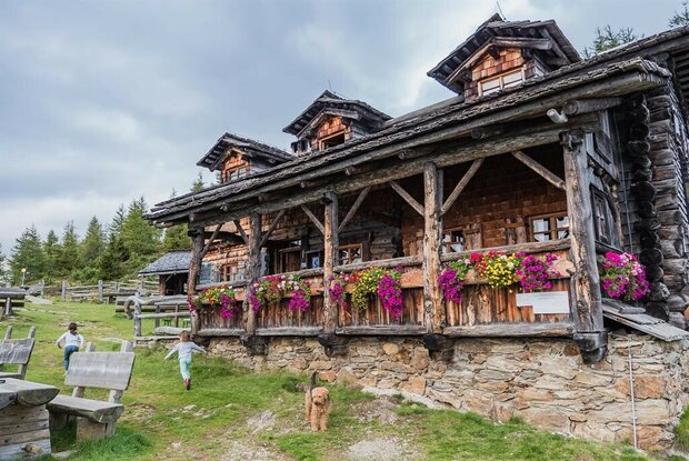


Circular hike Ederplan 2.062

A gentle family walk with a charming place to stop for refreshments

The most important at a glance

distance
7.27 km
altitude meters uphill
🔋
603 m
altitude meters downhill
🔋
603 m
total walking time
4 h
highest point
🞍
2062 m
difficulty
🞽
average
fitness:

* * * * *

🞙🞙🞙🞙🞙

technique:

* * * * *

🞙🞙🞙🞙🞙

public transport:

Bus stop Gödnach Ort

parking:

Car park Zwischenberger Sattel

starting point:
Car park Zwischenberger Sattel 1.474m
destination point:
Car park Zwischenberger Sattel 1.474m
best season:
MAY, JUN, JUL, AUG, SEP, OCT
route typ:
circuit

arrival

Parking spot

Zwischenberger Sattel car park 1,474m

altitude profile

Pdf file

Gpx file

Interactive map

Current weather conditions

Sonne-01.png

23°C/73°F °C

Description

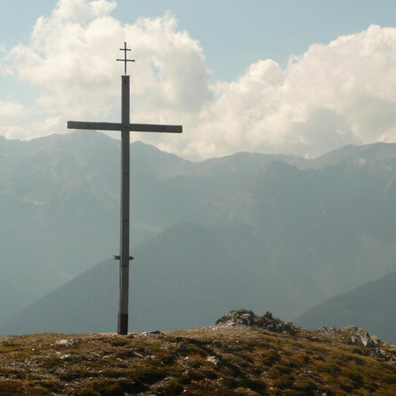
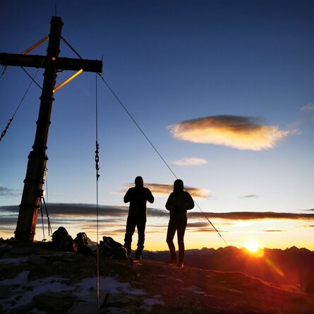
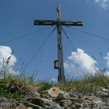
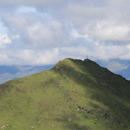
Start your hike at the Zwischenberger Sattel car park and follow the forest path steadily uphill. Once you’ve passed the pasture gates, you’ll reach a picturesque clearing. The summit, complete with the Anna mountain hut, isn’t far away. At the Ederplan, a fantastic view of the Möll Valley, Lienz and the Lienz Dolomites awaits you. The absolute highlight: the imposing summit cross, which stands majestically atop the viewing hill.

show the overview
Newsletter

Subscribe to our newsletter and receive the best tips every month for current offers, mountain tours, events and much more.