
Eagle Walk Stage O2: Johannishütte - Eisseehütte

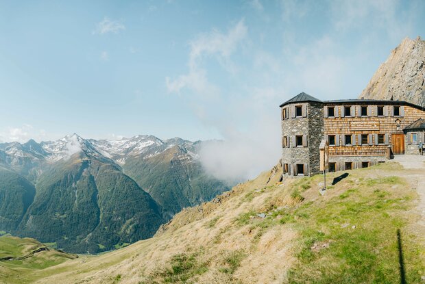
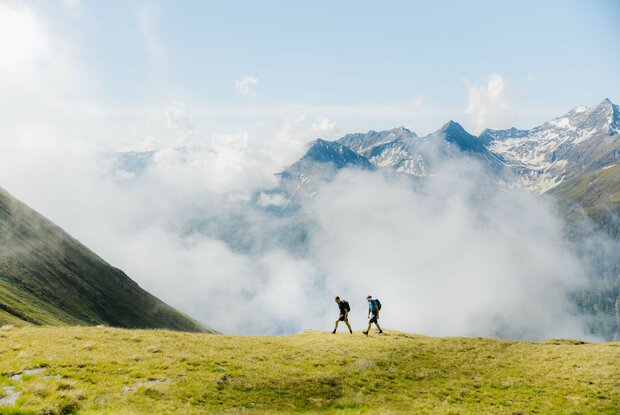
In this walk, you'll experience the best the Hohe Tauern National Park region has to offer in terms of scenic beauty, rugged hiking, and varied terrain: Leaving Johannishütte Hut, the trail works its way up to Sajat High Trail, through grassy slopes and rocky terrain and across Sajat Notch. Along the way, a demanding Via Ferrata is a deserving detour that transports intrepid climbers atop Rote Säule Peak. You’ll huff and puff on your way to the summit; in return, you’ll get a superb panorama of towering peaks topped in ice that glistens in the sun. The Eagle Walk proceeds to Sajat Hut, dubbed ‘The Castle in the Mountains’ no doubt from its turreted gables. But don't be fooled; it's still a long journey to reach the hut that is your destination, simpler but quaint Eisseehütte Hut.

The most important at a glance

distance
10 km
altitude meters uphill
🔋
1020 m
altitude meters downhill
🔋
620 m
total walking time
6 h
highest point
🞍
2788 m
difficulty
🞽
difficult
fitness:

* * * * *

🞙🞙🞙🞙🞙

technique:

* * * * *

🞙🞙🞙🞙🞙

starting point:
Johannishütte
destination point:
Eisseehütte
best season:
JUN, JUL, AUG, SEP

altitude profile

Pdf file

Gpx file

Interactive map

Current weather conditions

Sonne-01.png

20°C/68°F °C

Description


Trail description: Route description: The normal route via the Sajatscharte had to be abandoned years ago due to the latent danger of rockfall. There is now a new connecting trail (black mountain trail!) signposted as the “Kreuzspitz-Höhenweg,” which leads over the “Schernesscharte,” which runs along the ridge below the Kreuzspitze. The Kreuzspitze (3,155 m) can be reached from there in half an hour. The reward for the climb is a magnificent view of the highest mountains in the Venediger Group. The descent to the Neue Sajathütte then leads over a “rock trail” secured with steel cables. (challenging!) However, the destination for this stage – the easier but equally cozy Eisseehütte – is still a good distance away. A slightly less challenging and shorter route leads from the Johannishütte directly over the Zopatscharte (2,951 m) to the Eisseehütte. (red mountain trail!) Leave the hut in an easterly direction and climb a few switchbacks to a prominent cairn. From there, head east across the wide mountain meadows of the “Zopat” to the “Kreuzspitze” fork (2,750 m) and continue east along the foot of the Zopetspitze to the Zopetscharte. The descent takes you down the first 100 meters of elevation in steep switchbacks (secured with ropes!), then leads down to the valley floor of the Kleinitzalm. After crossing the Timmelbach stream, you will soon reach the Eisseehütte.


Newsletter

Subscribe to our newsletter and receive the best tips every month for current offers, mountain tours, events and much more.

en
