Bike & Hike Stüdlhütte 2.802m

Bike & Hike Tour to the Glockner area

The most important at a glance

difficulty 🞽
bike
🄷
difficult
hike
🛬
average
distance (in KM)
total distance
🅕
22.5 km
bike
🄷
15.8 km
hike
🛬
6.7 km
altitude meters uphill
total altitude
🅕
1470 m
bike
🄷
850 m
hike
🛬
620 m
total tour time
total tour time
🅕
5.75 h
bike
🄻
2.75 h
hike
🛬
3 h
fitness:
* * * * *
🞙🞙🞙🞙🞙
technique:
* * * * *
🞙🞙🞙🞙🞙
starting point:
Kals a. G. Ködnitz
destination point:
Stüdlhütte 2.802m

arrival

Bus stop
Kals a. G. Gemeindeamt
Car park
Car park Kals centre

hut/alpine hut

altitude profile

Pdf file

Gpx file

Interactive map

Current weather conditions

Schnee-00-02-07.png
0°C/32°F °C

Beschreibung Bike

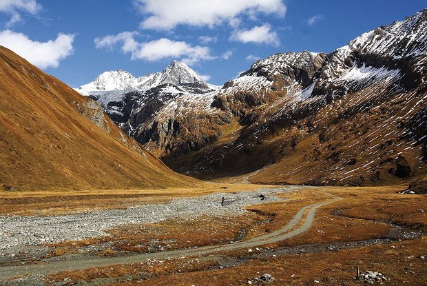
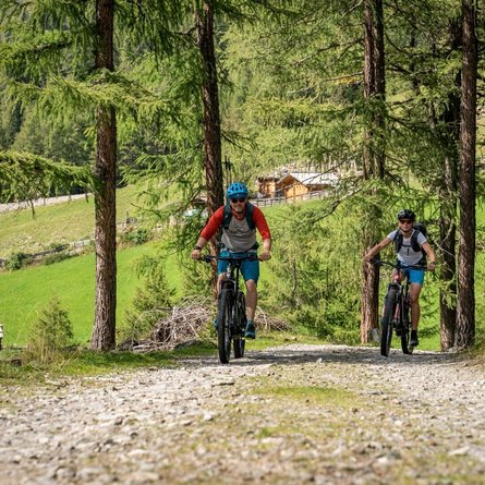
From the starting point of the challenging MTB route at the Kals municipal office, head in a westerly direction along the asphalt road to the intersection at the school center. Here you turn right in the direction of the castle and follow the medium-steep road to the Dorfertal parking lot. From here, the asphalt road begins, branching off to the right, in the direction of the Moaalm. 50 m before the Moaalm bridge, turn right again onto the forest road and now climb in numerous hairpin bends up to approx. 2,200m.


The times are for E-Bikers.
Beschreibung Wanderung

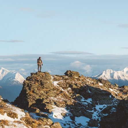
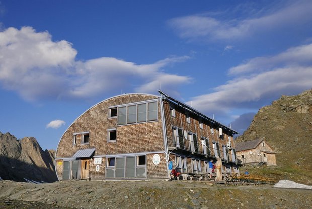
The narrow trail leads steadily uphill to the Stüdlhütte at 2,802m. The short ascent to the Fanatkogel (2,905m) is well worth it.

Newsletter

Subscribe to our newsletter and receive the best tips every month for current offers, mountain tours, events and much more.