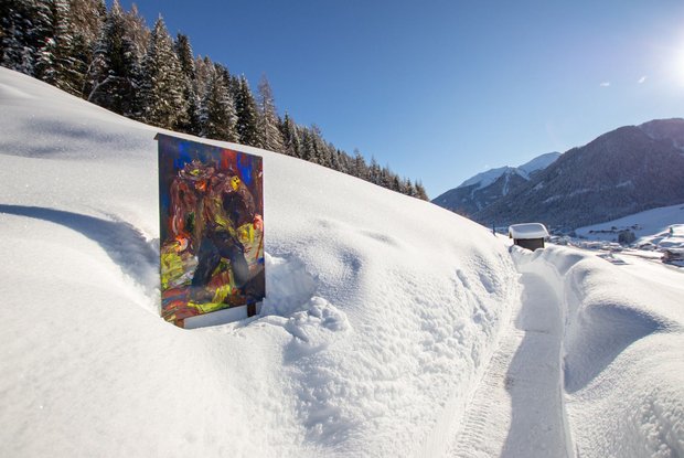
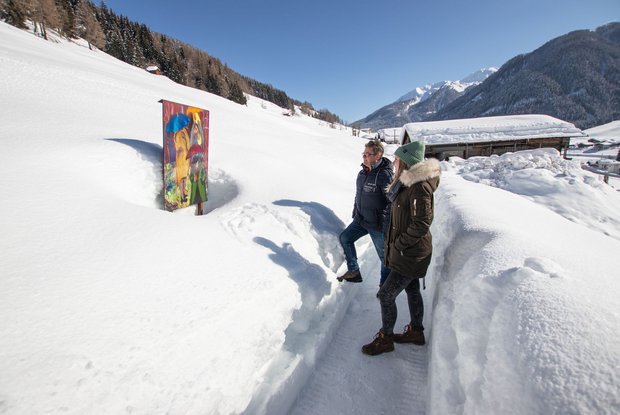
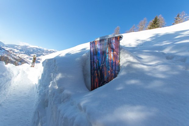
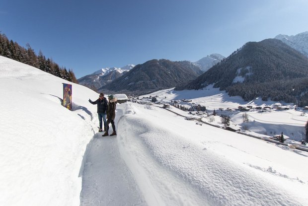
Oswald Kollreider-Wiesenweg artists' path

Easy walk on the sunny slope

The most important at a glance

distance
3.8 km
altitude meters uphill
🔋
80 m
altitude meters downhill
🔋
80 m
walking time uphill
30 min
walking time downhill
30 min
total walking time
1 h
highest point
🞍
1400 m
difficulty
🞽
easy
state:
closed
fitness:
* * * * *
🞙🞙🞙🞙🞙
technique:
* * * * *
🞙🞙🞙🞙🞙
public transport:

Mit dem Bus bis zur Haltestelle "Kartitsch Gemeindeamt"

parking:

Parkplatz im Zentrum von Kartitsch

starting point:
Car park Kartitsch
destination point:
St. Oswald
best season:
JAN, FEB, MAR, APR, DEC

arrival

Bus stop
Kartitsch Gemeindeamt
Kartitsch Abzw St. Oswald
Car park
Car park Kartitsch Center
Car park St. Oswald

altitude profile

Pdf file

Gpx file

Interactive map

Current weather conditions

Sonne-03.png
14°C/57°F °C

Description

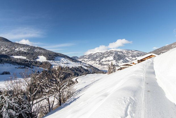
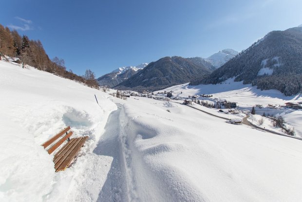
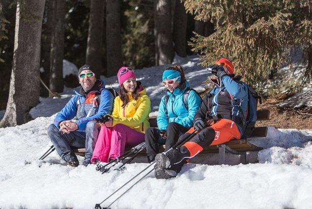
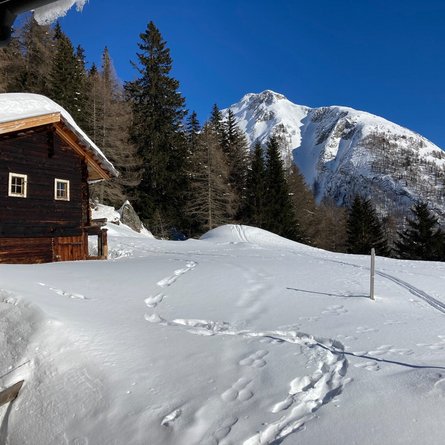
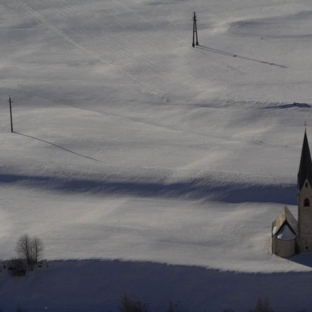
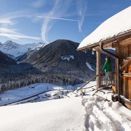
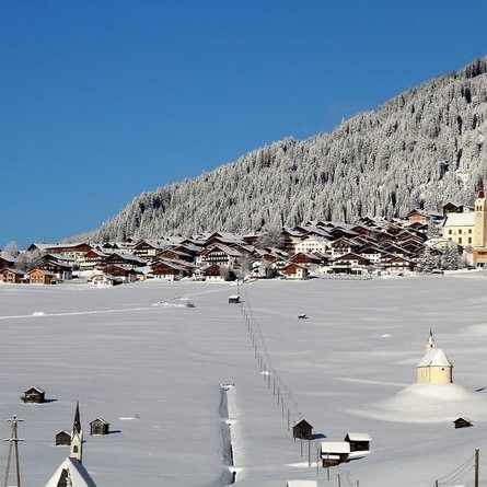
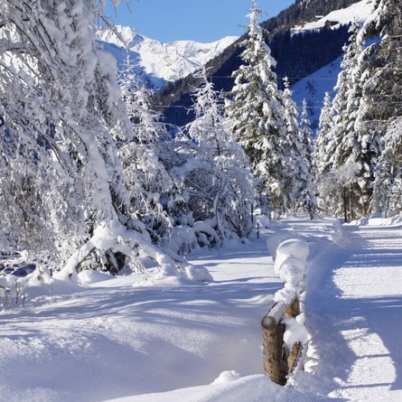
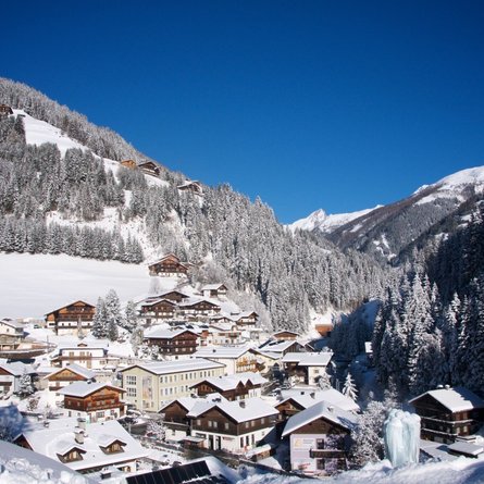
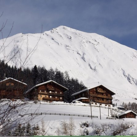
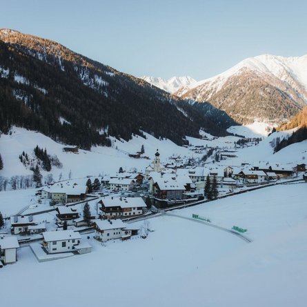
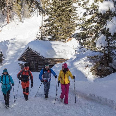
The winter walking path in a sunny location links the village centre of Kartitsch with St. Oswald. On a total length of around 1.5km, it affords a fabulous all-round view in all directions: into the Hochpustertal, towards the Carnic main Alpine ridge and into the eastern Tyrolean Gailtal, with an excellent view also of the 5 valleys that one can explore from Kartitsch. Resting places all along the path invite you to take a break. A flat walking path that is easy for anyone and offers plenty of panoramic views. Connection possibilities: long-distance hiking trail Dorfberg.

Newsletter

Subscribe to our newsletter and receive the best tips every month for current offers, mountain tours, events and much more.