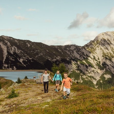
Hike to Trojeralm 1.810m

Family hiking tour to Trojeralmtal

The most important at a glance

distance
10.6 km
altitude meters uphill
🔋
430 m
altitude meters downhill
🔋
430 m
walking time uphill
2 h
walking time downhill
1:30 h
total walking time
3:30 h
highest point
🞍
1810 m
difficulty
🞽
easy
fitness:

* * * * *

🞙🞙🞙🞙🞙

public transport:

Bushaltestelle St. Jakob i. D. Gemeindeamt

parking:

Parkplätze direkt im Ort

starting point:
Parkplatz Neue Mittelschule
destination point:
Parkplatz Neue Mittelschule
best season:
MAY, JUN, JUL, AUG, SEP
route typ:
circuit

arrival

Stop

St. Jakob i. D. Gemeindeamt

Parking spot

Car park Trojeralmtal

Car park Trojeralmtal 1.640m

altitude profile

Pdf file

Gpx file

Interactive map

Current weather conditions

Sonne-02.png

15°C/59°F °C

Description

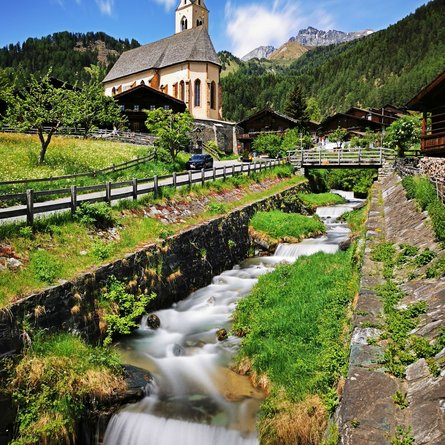
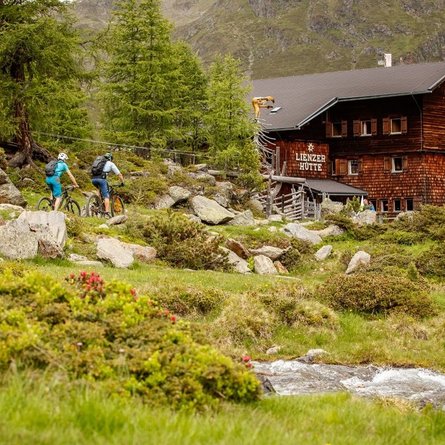
Starting from the carpark at Neue Mittelschule (new secondary school) in the centre of St. Jakob in Defereggen, first follow the tarmac road towards Tögisch before a narrow path leads you to Trojeralmtal Valley. After 4 kilometres, you will get back to the broader forest road and can enjoy the moderate ascent for the rest of the tour until you reach Jausenstation Trojeralm. Here, homemade farm products are turned into traditional meals. Thanks to the playground, this hiking tour is perfect for families with children. To return back home, either follow the same way you got here on or hike through Außerberg and Trojen.

Newsletter

Subscribe to our newsletter and receive the best tips every month for current offers, mountain tours, events and much more.