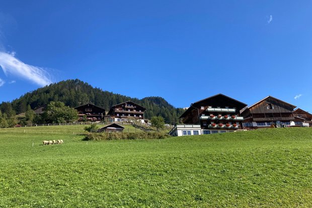
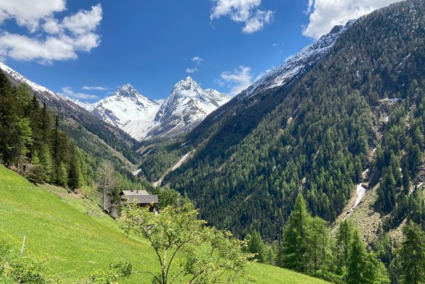
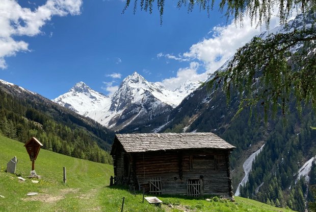
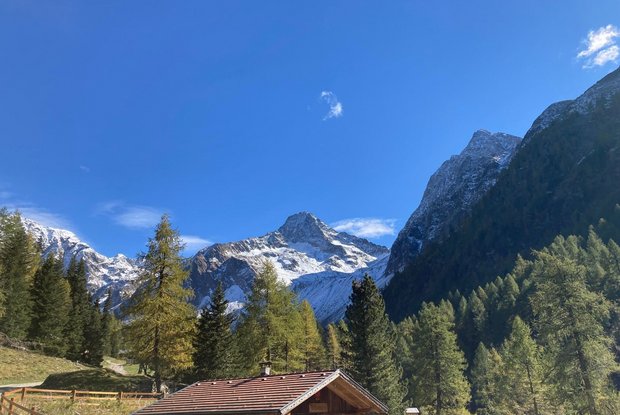
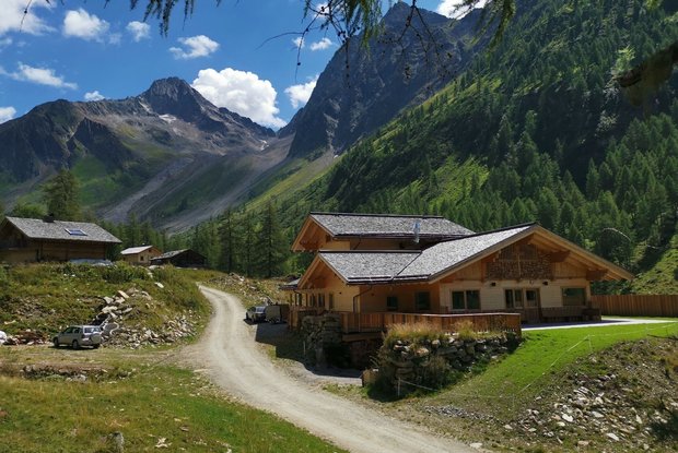
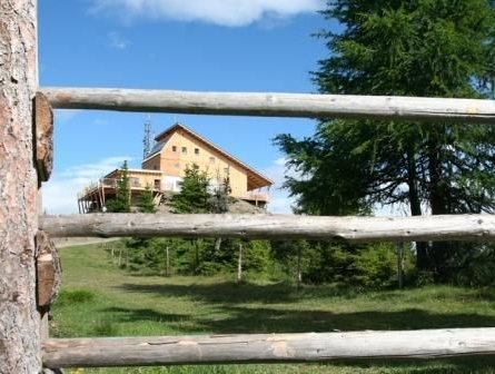
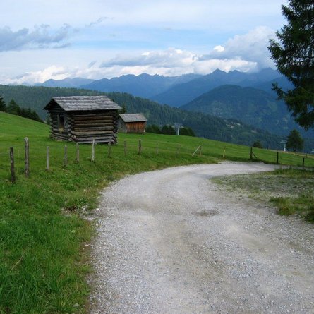
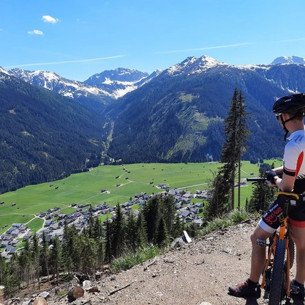
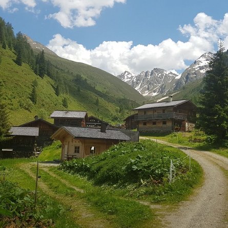
This moderately difficult mountain bike route starts at the Lana bridge. From there, cross the bridge to the Lesach district. Please take particular care on the short stretch on the main road (approx. 100m)! Continue into the Lesach district, past Gasthof Lesacherhof and up the road in hairpin bends to Oberlesach. From there, a forest road continues in serpentines to the barrier at Rubisoierhof. At the Lesach-Riegel junction, follow the path towards Lesachalm up through the forest. The last section of the trail is relatively flat and even slightly downhill to the end of the route. From the Alpengasthof Glödis Refugium (please note the opening times) you can enjoy a breathtaking view of the Glödis (3,207m).
Menu
