Cycling and Mountain Biking
in Prägraten am Großvenediger

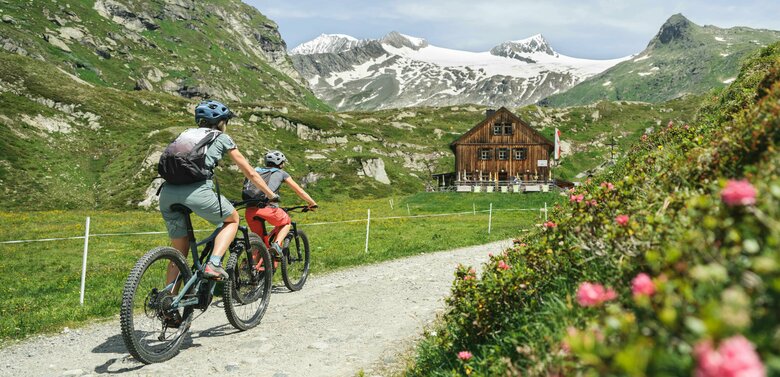
This community of about 1,500 residents in the Nationalpark Hohe Tauern makes your mountain adventure on two wheels possible. Stretching 25 kilometers, the Virgental Bike Trail offers a truly enjoyable ride along the Isel River all the way to the roaring Umbal Falls. One of the highlights of this tour is the impressive Isel Gorge between Virgen and Prägraten am Großvenediger, featuring the new suspension bridge (accessible only on foot).
On various mountain bike trails, you’ll also have the chance to experience the magic of the Prägraten mountains up close! Don’t let another second go by—hop on your bike and embark on your cycling adventure in Osttirol!


Mountain Bike and E-Bike Tours:
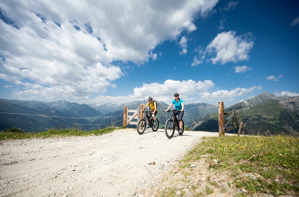
Mountain Bike Tours in Prägraten

Radweg Virgental No. 132

starting point:
Parkplatz bei der Matreier Goldried Bergbahn
destination point:
Umbalfälle
distance
48.2 km
🔋
altitude meters uphill
1090 hm
🔋
altitude meters downhill
1090 hm
🞽
difficulty
average

Bodenalm - Timmeltal No. 129

starting point:
Sportsarea Gries
destination point:
Timmeltal
distance
22.9 km
🔋
altitude meters uphill
1000 hm
🔋
altitude meters downhill
990 hm
🞽
difficulty
average

Bodenalm - Timmeltal No. 129 Wuneck alternative

starting point:
Freizeitzentrum Gries
destination point:
Freizeitzentrum Gries
distance
23.18 km
🔋
altitude meters uphill
1087 hm
🔋
altitude meters downhill
1083 hm
🞽
difficulty
average

Stabanthütte No. 130

starting point:
Sports area Gries
destination point:
Stabanthütte
distance
10.3 km
🔋
altitude meters uphill
500 hm
🔋
altitude meters downhill
500 hm
🞽
difficulty
average

Johannishütte No. 131

starting point:
Prägraten-Hinterbichl (1335m)
destination point:
Johannishütte (2121m)
highest point:
2114 m
distance
16.1 km
🔋
altitude meters uphill
780 hm
🞽
difficulty
average

E-Bike Trails in Prägraten

Radweg Virgental No. 132

starting point:
Parkplatz bei der Matreier Goldried Bergbahn
destination point:
Umbalfälle
distance
48.2 km
🔋
altitude meters uphill
1090 hm
🔋
altitude meters downhill
1090 hm
🞽
difficulty
average

Bodenalm - Timmeltal No. 129

starting point:
Sportsarea Gries
destination point:
Timmeltal
distance
22.9 km
🔋
altitude meters uphill
1000 hm
🔋
altitude meters downhill
990 hm
🞽
difficulty
average

Bodenalm - Timmeltal No. 129 Wuneck alternative

starting point:
Freizeitzentrum Gries
destination point:
Freizeitzentrum Gries
distance
23.18 km
🔋
altitude meters uphill
1087 hm
🔋
altitude meters downhill
1083 hm
🞽
difficulty
average

Stabanthütte No. 130

starting point:
Sports area Gries
destination point:
Stabanthütte
distance
10.3 km
🔋
altitude meters uphill
500 hm
🔋
altitude meters downhill
500 hm
🞽
difficulty
average

Johannishütte No. 131

starting point:
Prägraten-Hinterbichl (1335m)
destination point:
Johannishütte (2121m)
distance
16.1 km
🔋
altitude meters uphill
780 hm
🔋
altitude meters downhill
780 hm
🞽
difficulty
average

Useful Information About Cycling and Biking

E-bike charging stations in Prägraten

E-bike charging station Gasthof Islitzer

Gasthof Islitzer GmbH & Co KG
Hinterbichl 15
9974 Prägraten a.G.
T. +43 4877 5206
[email protected]

Bike Guides

Sports shop "Wibmer"

Radhaus
Europastraße 18
9971 Matrei in Osttirol
T. +43 664 753 793 40
[email protected]

Bike Rentals

Sports shop "Wibmer"

Radhaus
Europastraße 18
9971 Matrei in Osttirol
T. +43 664 753 793 40
[email protected]

Sports shop "Wibmer"

Martin Wibmer
Europastraße 20
9971 Matrei in Osttirol
T. +43 4875 6581 121
[email protected]

Rules of Conduct for Mountain Biking

Staying Safe in the Mountains

Much of Osttirol is covered by forests and alpine pastures, where numerous cows, sheep, and goats graze in the summer. Many of the approved mountain bike trails also pass through areas used by farmers and foresters, who maintain and care for these paths. Therefore, to protect mountain bikers and everyone else going about their work, the following rules of conduct apply:

  • Always ride at a controlled speed and at half-visibility
  • Beconsiderate of hikers and pedestrians, and pass only at walking speed
  • Be aware of the route’s difficulty level and accurately assessyour own experience and skill as a mountain biker
  • Never ride a mountain bikewithout a helmet ! Check your equipment before starting any ride
  • Respect barriers . Remember , the trails are primarily used for agricultural and forestry purposes. Close pasture gates
  • Be considerate of nature and animals, and stay on the marked trails
  • For your own safety and that of the animals: Finish your bike tour before dusk
  • Donot leave any trash behind

By following these rules, you’ll get the most fun and relaxation out of your mountain biking vacation while also helping to ensure that the unique Tyrolean mountain landscape remains preserved for generations to come.

You might also be interested in this

Rennrad Pustertalerhoehenstrasse
Bike Guides

Find the best bike guides in Osttirol.

Mountainbiken Hochstein
Bike Parks

Discover Osttirol's bike parks—adventure, trails, and breathtaking views await!

Newsletter

Subscribe to our newsletter and receive the best tips every month for current offers, mountain tours, events and much more.