
Winter hiking trail Berger Eck

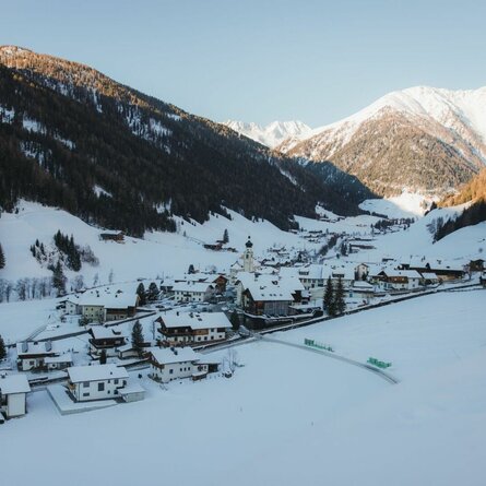
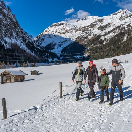
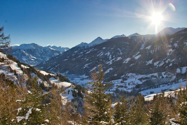
A hike with guaranteed snow and views across the whole of the Virgental valley

The most important at a glance

distance
9.7 km
altitude meters uphill
🔋
390 m
altitude meters downhill
🔋
417 m
walking time uphill
2:30 h
walking time downhill
1:30 h
total walking time
4 h
highest point
🞍
1610 m
difficulty
🞽
easy
state:
closed
fitness:

* * * * *

🞙🞙🞙🞙🞙

technique:

* * * * *

🞙🞙🞙🞙🞙

public transport:

Bus stop Prägraten a. G. Gemeindeamt (municipal office)


Alternativ: Bus stop Prägraten a. G. Wallhorn

parking:

Car park Prägraten a. G. Gemeindeamt (municipal office)


Alternativ: Wallhorn winter car park


starting point:
Tourist information the Prägraten a. G. or bus stop Prägraten a. G. Wallhorn
destination point:
Tourist information Prägraten a. G. or bus stop Prägraten a. G. Wallhron
best season:
JAN, FEB, MAR, DEC
route typ:
family tour

arrival

Stop

Prägraten am Großvenediger Wallhorn

Parking spot

Car park local community Prägraten a. G. 1.320m

altitude profile

Pdf file

Gpx file

Interactive map

Current weather conditions

Sonne-02.png

14°C/57°F °C

state: closed

Description

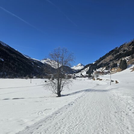
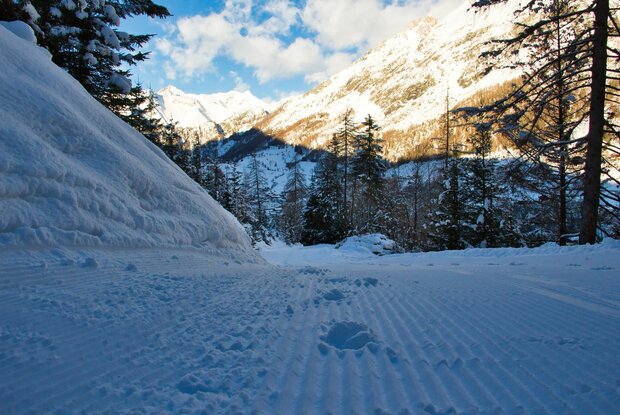
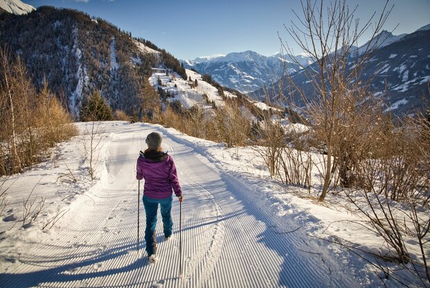
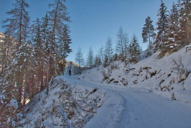
From the centre of the village, the path first leads along the road to the Wallhorn district. At the bus stop, turn right and follow the road to the sports field. From here the prepared winter hiking trail leads steadily uphill along a forest path to the Berger-Eck. Beautiful view of the two villages of Prägraten a. G. and Virgen.

Newsletter

Subscribe to our newsletter and receive the best tips every month for current offers, mountain tours, events and much more.