Burg - Greiwiesen - Lucknerhaus

A varied hike from the valley to the mountain meadows

The most important at a glance

distance
14.2 km
altitude meters uphill
🔋
851 m
altitude meters downhill
🔋
840 m
walking time uphill
3:30 h
walking time downhill
3:30 h
total walking time
7 h
highest point
🞍
2206 m
difficulty
🞽
average
fitness:

* * * * *

🞙🞙🞙🞙🞙

technique:

* * * * *

🞙🞙🞙🞙🞙

public transport:

Busline 952

parking:

Großdorf, parking cablecar

starting point:
Großdorf parking cablecar
destination point:
Parkplatz Großdorf
best season:
JUN, JUL, AUG, SEP, OCT
route typ:
circuit

arrival

Stop

Kals am Großglockner Großdorf

Parking spot

Car park Großdorf

altitude profile

Pdf file

Gpx file

Interactive map

Current weather conditions

Sonne-01.png

20°C/68°F °C

Description

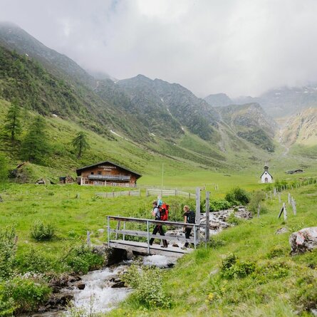
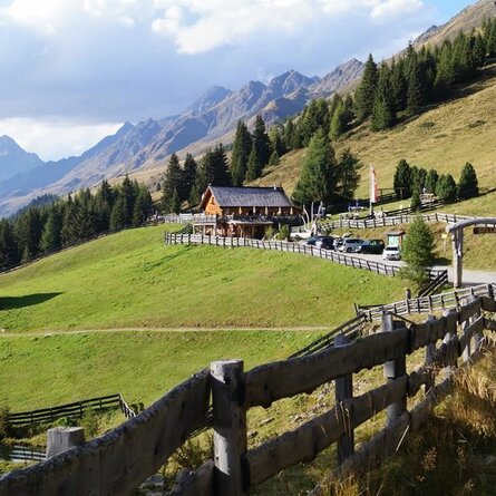
Without particular efforts, the path leads from Kals / Grossdorf to the Temblerhof and across the road to the mountain station of the Tembler tow lift, branching off to the left there via a convenient forest path to the halfway station of the gondola lift and to the Gliber- / Schusteralm (1960 metres, not managed).


From here on, a hiking trail continues, which - across a few serpentines - joins the AV Weg 502B and leads up to Kals-Matreier-Toerl. From Kals-Matreier-Toerl via the Europa-Panoramaweg in approx. 1 - 1.5 hours to the mountain restaurant "Glocknerblick". From mountain restaurant "Glocknerblick" back to Grossdorf in about 2 hours.

Newsletter

Subscribe to our newsletter and receive the best tips every month for current offers, mountain tours, events and much more.

en