Winkleralmsee-Runde

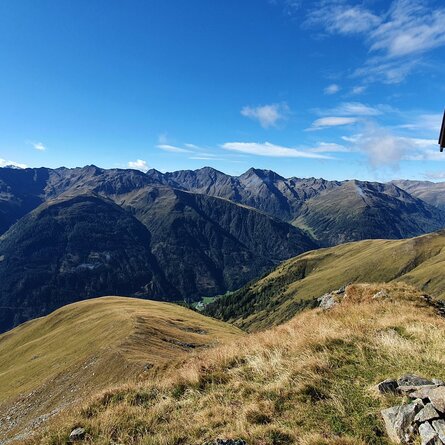
Winklerner Almsee nestles idyllically in the little high valley above Winklerner Viehalm. Thanks to its very flat hiking path, it is a popular excursion destination in the holidays and is especially recommended as a hike for children and families.

The most important at a glance

distance
5.6 km
altitude meters uphill
🔋
230 m
walking time uphill
1 h
walking time downhill
1 h
total walking time
2 h
highest point
🞍
2070 m
difficulty
🞽
easy
fitness:

* * * * *

🞙🞙🞙🞙🞙

technique:

* * * * *

🞙🞙🞙🞙🞙

public transport:

On Fridays with the hiking bus to the "Parkplatz Roaner Alm".

parking:

Roaner Alm parking lot

starting point:
Roaner Alm
destination point:
Winklerner Almsee
best season:
MAY, JUN, JUL, AUG, SEP

arrival

Parking spot

Car park Roaner Alm

altitude profile

Pdf file

Gpx file

Interactive map

Current weather conditions

Sonne-01.png

21°C/70°F °C

Description

The Winklerner Almsee is beautifully and idyllically nestled in the small high valley above the Winklerner Viehalm. Due to the very flat hiking trail, it is a popular excursion destination during the holiday season and is particularly recommended as a hike for children or families.


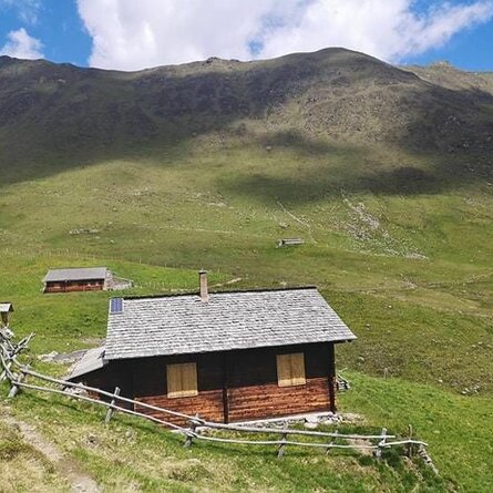
The starting point is the car park at the Roaner Alm (subject to a fee). From there, follow the trail towards Winklerner Alm along the alpine ridge for approx. 500 m towards Straßkopf until you reach the signpost "Winklerner Almsee". There, turn right and follow the flat trail across beautiful alpine meadows in a north-easterly direction to the Winklerner Almsee. After a break, head down to the Winklerner Viehalm and follow the trail past the Winklerner Alm back to the starting point.
Newsletter

Subscribe to our newsletter and receive the best tips every month for current offers, mountain tours, events and much more.