The Route
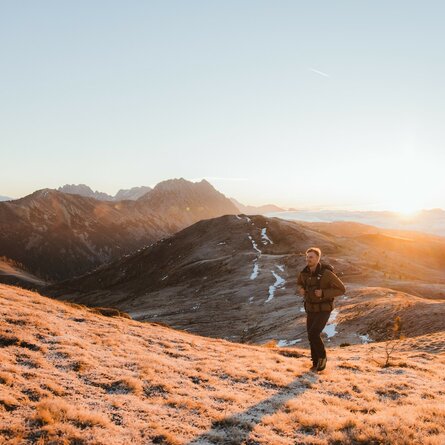
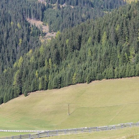
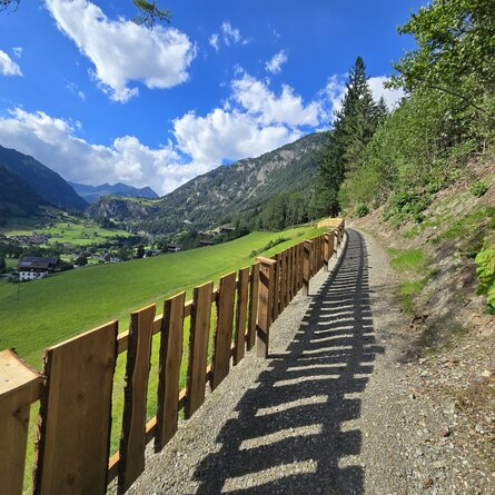
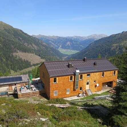
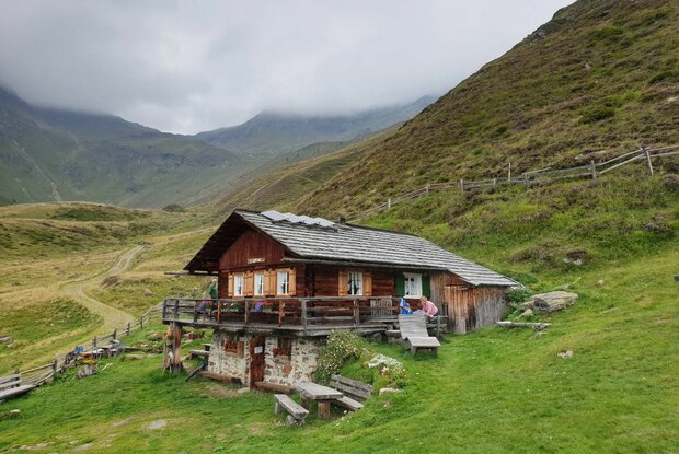
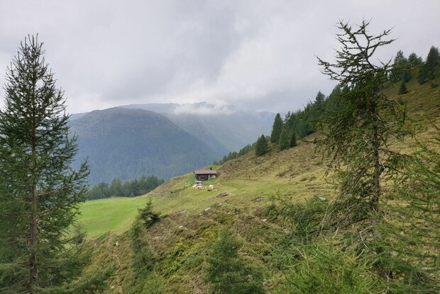
We begin in the area of the Hochsteinhütte ÖA V - Sekt. Lienz, on the slopes of the Böses Weibele (2521 m) which are bright in the morning light. We hike westward between sparse larches and bulky juniper growth to the fenced Gampele Hütte (2042 m). The view of the peaks and towers of the Lienzer Dolomiten is unobstructed, and the path along the tree line to the Ehrenwiese with Gottfried`s Hütte (2000 m) is effortless. Subsequently, the path tips over a forest edge into the spacious slope bay of the Dörfler Alm. Larches and spruces shade the path, straight rivulets trickle through moss and over stones, and the rest at the alpine cross at the Steierwieseck (2005 m) is enjoyable and
scenic.
Among the oldest alpine huts are the Mair(Moas)Kasern on broad mountain flanks leading to the Monstreitbach, which brings cooling from the Lavantsee. Later, we cross the Gissenbach on a small arched bridge already near the Waldhuber- Kaser (9 km). Another 3/4 hour separates us from the Huberkaser in the wide open Wilfernertal. On the mountain slopes, which are covered in blossoms in the early summer, we reach the Gamperkaser (1963 m), and then the Hocheck/Lärchknoten (2049 m), on the western elevation of the Wilfernertal. In the territory of the black grouse and wood grouse, the path descends to the Baumgartner Kaser, before a final ascent leads to the Neue and Alte Solderer Kaser (1900 m) and opens into the widened grassy trough of the Gritsch. We pass the Tschicker- and later the Kontrinerkaser (1930 m), before finally a track reaches the Compedal-Schihütte in 10 minutes. Since 2010, the Pustertaler Almweg has been supplemented by the continuing route into the Kristeiner Tal. It leaves the Compedal-Schihütte with a slight gradient and alternating between path and forest road. Where a path branching off towards the valley turns into the hamlet of Linde, we continue straight ahead and later cross a ditch with meager stream veins. After only a moderate incline, we note the sign "Katzenleiter" (1920 m) where 1 3/4 hours to the end point still lie ahead of us.
A grass path sets the mood for beautiful trail sections that nestle against the rock-strewn mountain flank and pass through a large alder shrub ditch. A relatively species-poor plant community inhabits the forest scene, led by a small occurrence of delicate dwarf alpine roses. In this area, we watch for a newly built forest path before reaching a forest road again at the Holzwieseneck (1840 m). It descends in long loops into the Kristeiner Tal and ends at the Plünger (barrier). It is still 220 m to the Hofmanngehöft on the Pustertaler Höhenstraße (P- Postbus).
The Pustertaler Almweg
a) Eastern part: Hochsteinhütte (2023 m), - Ehrenwiese (2000 m) 1 1/2 hrs. - Huberkaser in the Wilfernertal (1950 m) 2 hrs., - Compedal- Schihütte (1920 m), 3 1/2 hrs. total 7 hrs., marked, easy, scenic.
b) Western part: Compedal- Schihütte, 1920 m, - Plünger in the Kristeiner Tal (1400 m), 2 1/2 - 3 hrs., predominantly descending forest roads.
The total length of the Pustertaler Almweg is approx. 30 km or 9 - 10 hours.
The popular, easy alpine hike is accessible from several points
(including Wilfernertal) and can also be left there towards the valley.
Also two small circular hiking trails
a) The Wilfernerrunde, 2 - 2 1/4 hrs.
b) The Greadlrunde, 2 1/2 hrs., each starting from the Pedretscher Kaser in the Wilfernertal