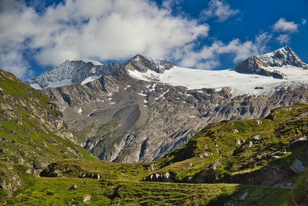
Hiking tour to Johannishütte 2.121m

so close to the Großvenediger

The most important at a glance

distance
11.26 km
altitude meters uphill
🔋
624 m
altitude meters downhill
🔋
624 m
walking time uphill
2:15 h
walking time downhill
1:45 h
total walking time
4:50 h
highest point
🞍
2121 m
difficulty
🞽
average
fitness:

* * * * *

🞙🞙🞙🞙🞙

technique:

* * * * *

🞙🞙🞙🞙🞙

public transport:

Car park Prägraten a.G. Hinterbichl

parking:

Car park Wiesenkreuz

starting point:
Car park Wiesenkreuz 1.490m
destination point:
Car park Wiesenkreuz 1.490m
best season:
JUN, JUL, AUG, SEP

arrival

Stop

Prägraten am Großvenediger Hinterbichl

altitude profile

Pdf file

Gpx file

Interactive map

Current weather conditions

Sonne-02.png

25°C/77°F °C

Description

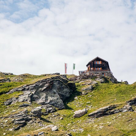
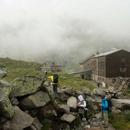
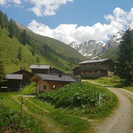
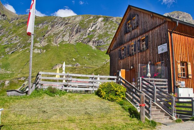
The starting point for the family-friendly walk to the Johannishütte is the Wiesen car park. From there, you walk along the track to the Johannishütte. After just over 2 hours’ walk, you’ll reach the top and can enjoy the magnificent view of the Großvenediger.

An alternative way to reach the Johannishütte is by taking the ‘Venediger Taxi’, which takes guests from the village to the Johannishütte and back again. Important: always book in advance (for more information, contact the Venediger Taxi or the Prägraten a. G. Tourist Information Centre)

Newsletter

Subscribe to our newsletter and receive the best tips every month for current offers, mountain tours, events and much more.