
Hike Östliche Sattelköpfe 2,697m

A rewarding destination for a scenic mountain hike.

The most important at a glance

distance
4.5 km
altitude meters uphill
🔋
485 m
altitude meters downhill
🔋
42 m
walking time uphill
2 h
walking time downhill
1:30 h
total walking time
3:30 h
highest point
🞍
2647 m
difficulty
🞽
average
fitness:

* * * * *

🞙🞙🞙🞙🞙

technique:

* * * * *

🞙🞙🞙🞙🞙

parking:

Zettersfeld Zentrum parking lot

starting point:
Steinermandlbahn mountain station
destination point:
Östlicher Sattelkopf
best season:
JUN, JUL, AUG, SEP, OCT

altitude profile

Pdf file

Gpx file

Interactive map

Current weather conditions

Sonne-03.png

15°C/59°F °C

Description

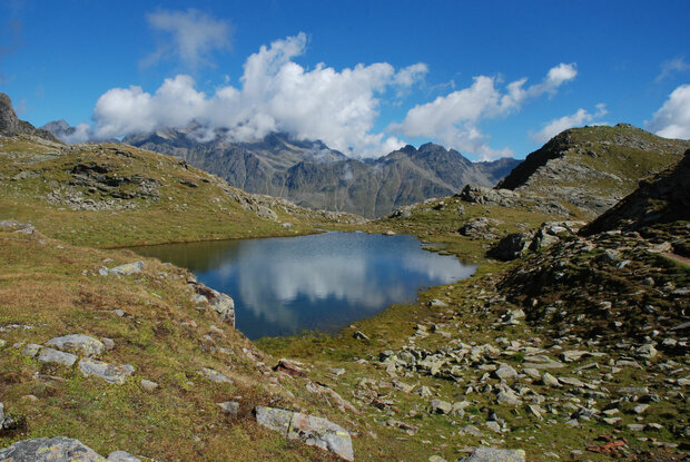
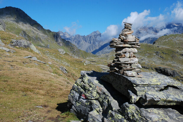
The hike leads from the Bergstation der Steinermandlbahn initially through alpine pastures towards Neualplseen, in the Hohe Tauern National Park. From there, a short steep mountain path leads to the peaks of the östlichen Sattelköpfe – with wide views of the Dolomites and the Lienz valley floor. The return journey follows the same route.

Newsletter

Subscribe to our newsletter and receive the best tips every month for current offers, mountain tours, events and much more.

en


