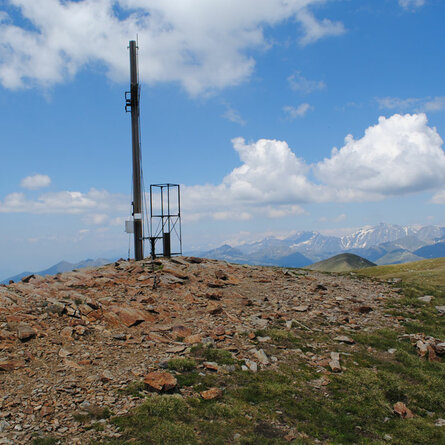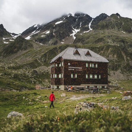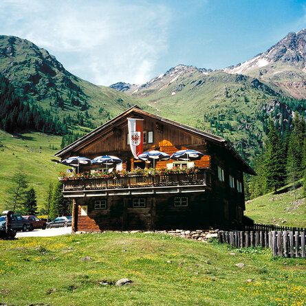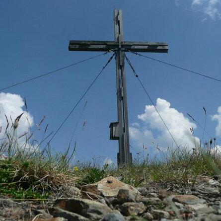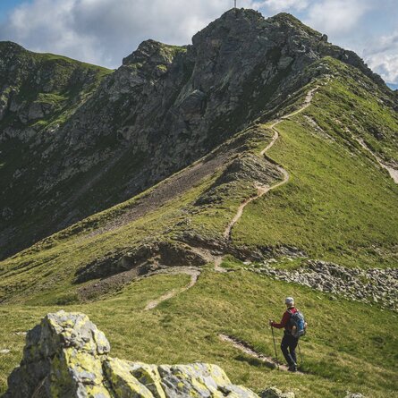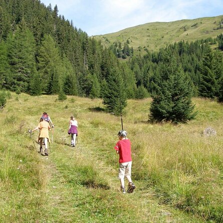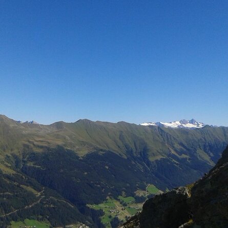
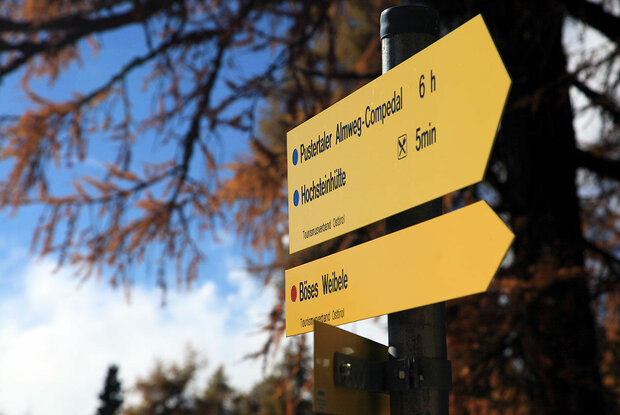
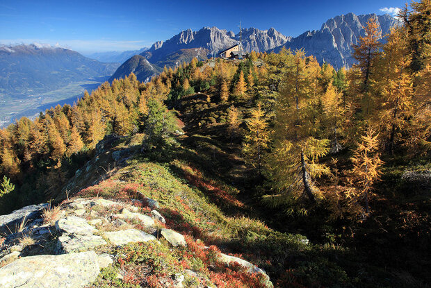




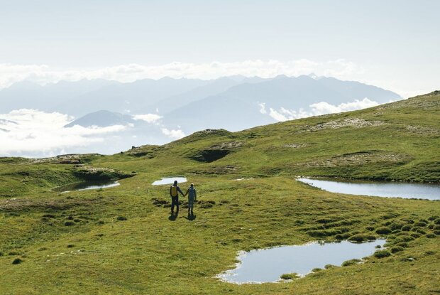
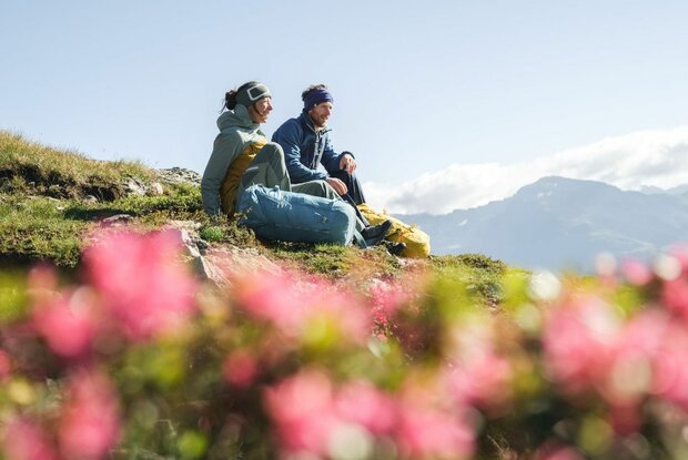
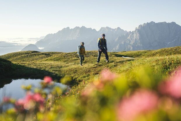
From the Sternalm, the route first leads via the Märchensteig to the Hochsteinhütte. From there, follow the hiking trail across flat alpine pastures and a final ascent to the summit of the Böses Weibele 2.521m.
Menu
Scenic summit hike on the Lienzer Hochstein.
* * * * *
🞙🞙🞙🞙🞙
* * * * *
🞙🞙🞙🞙🞙
Bus stop Hochstein/Schloss Bruck. From the bus stop, take the Schloßbergbahn and the H2 double chairlift to the Sternalm.
Hochstein-Talstation parking lot
Parking spot
Car park Hochsteinhütte

11°C/52°F °C
This is the official website of the TVB Osttirol. All content and images are copyrighted.