

Gail Loop via Grenzlandweg

Picturesque circular hike from Obertilliach through the fields and back along the Gail.

The most important at a glance

distance
6.33 km
altitude meters uphill
🔋
186 m
altitude meters downhill
🔋
175 m
total walking time
2 h
highest point
🞍
1442 m
difficulty
🞽
easy
fitness:

* * * * *

🞙🞙🞙🞙🞙

public transport:

Take bus line 965 coming from Sillian to Obertilliach. Get off at the Obertilliach Dorf stop.

parking:

Park in the village area of Obertilliach or at the large car park near the cable car.

starting point:
Obertilliach village
destination point:
Obertilliach Dorf Abzw. Weiler
best season:
APR, MAY, JUN, JUL, AUG, SEP, OCT, NOV
route typ:
circuit family tour

altitude profile

Pdf file

Gpx file

Interactive map

Current weather conditions

Sonne-02.png

17°C/63°F °C

Description

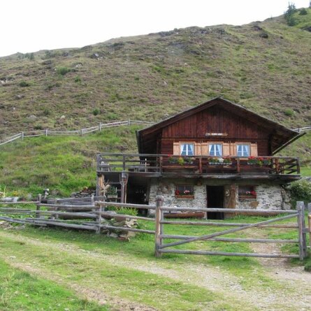
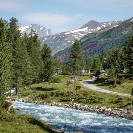
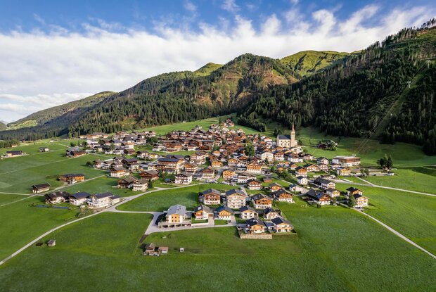
The circular hike starts in Obertilliach and initially leads downwards through the fields, passing the iconic "Tillga Schupfen" until reaching the district of Bergen. There, turn right onto the road and follow it for a short distance to the sawmill and sewage treatment plant, before crossing the Gail river via a bridge and then hiking along a forest path along the Gail again. Following the path slightly uphill towards the west, you reach the playground at Mühlboden. From here, the route leads northwards back up into the village.

Newsletter

Subscribe to our newsletter and receive the best tips every month for current offers, mountain tours, events and much more.