Dolomitenhütte - Karlsbaderhütte

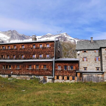
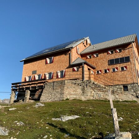
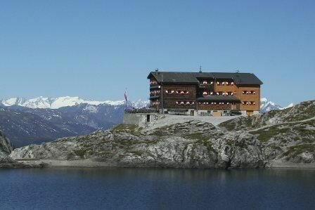
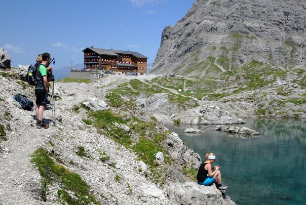
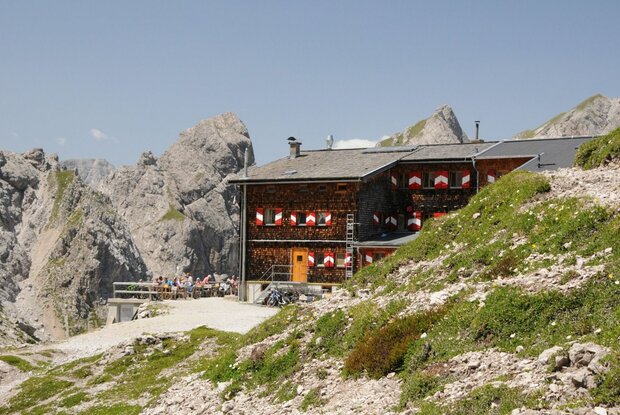
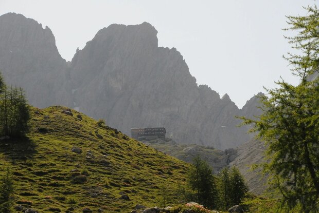
The Karlsbaderhütte of the German Alpine Club is located directly on the Lazerzsee, surrounded by the imposing Lienzer Dolomiten. Gradually expanded and renovated, the Karlsbaderhütte is an insider tip and offers many mountain sports destinations.

The most important at a glance

distance
10.3 km
altitude meters uphill
🔋
780 m
altitude meters downhill
🔋
780 m
walking time uphill
3 h
walking time downhill
2 h
total walking time
5 h
highest point
🞍
2260 m
difficulty
🞽
difficult
fitness:

* * * * *

🞙🞙🞙🞙🞙

technique:

* * * * *

🞙🞙🞙🞙🞙

public transport:

Sundays and Wednesdays with the hiking bus to the "Parkplatz Dolomitenhütte".

parking:

Dolomitenhütte parking lot.

starting point:
Dolomitenhütte
destination point:
Karlsbaderhütte
best season:
MAY, JUN, JUL, AUG, SEP

arrival

Parking spot

Car park Dolomiten Hütte

altitude profile

Pdf file

Gpx file

Interactive map

Current weather conditions

Gewitter-00-03.png

21°C/70°F °C

Description

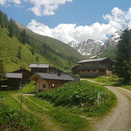
After the Dolomitenhütte, the Rudl-Eller-Weg branches off to the left and leads steeply uphill across alpine pastures to the Weißsteinalmen. The route continues through larch meadows to the Zellin. Crossing rope-secured rocky gullies and slabs requires surefootedness. Via numerous serpentines, we reach the Hohe Törl (2,098 m). Passing the access to the Bügeleisenkante, and continuing across grassy slopes, we reach the summer path to the Karlsbaderhütte.

 

Newsletter

Subscribe to our newsletter and receive the best tips every month for current offers, mountain tours, events and much more.