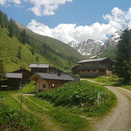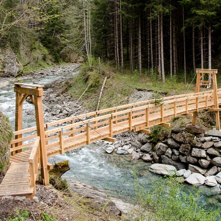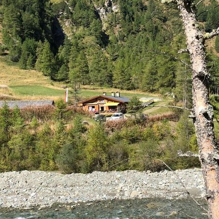
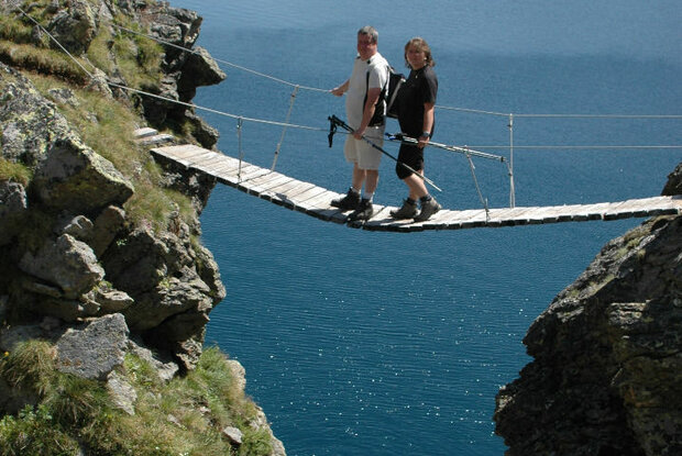
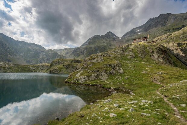
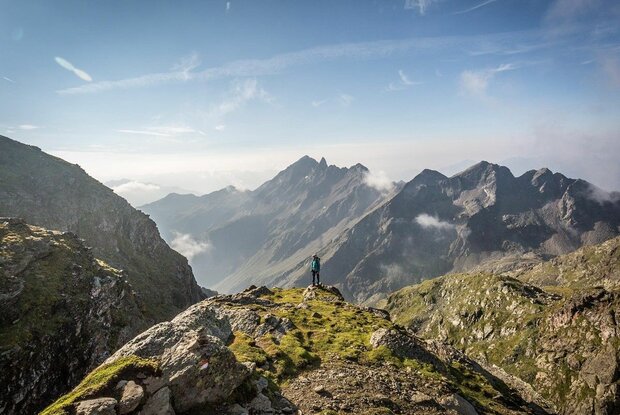
From the Seichenbrunn car park, cross the Debantbach to the right and follow the well-marked trail across the Gaimberger Felder to the lower Seescharte. Continue until you reach the Wangenitzsee Hütte between Kreuzsee and Wangenitzsee.
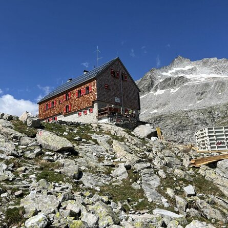
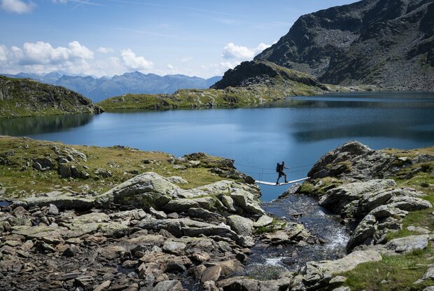
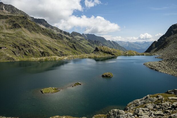
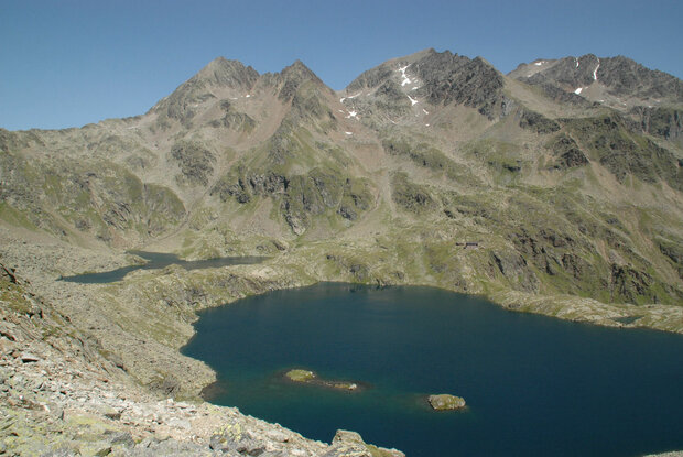
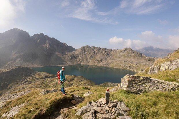
The Wangenitzsee Hütte is the highest mountain hut in the Schobergruppe and is idyllically situated by the deep blue Wangenitzsee and Kreuzsee on the Carinthian side of the Nationalpark Hohe Tauern.
* * * * *
🞙🞙🞙🞙🞙
* * * * *
🞙🞙🞙🞙🞙
Mondays and Thursdays with the hiking bus to the Seichenbrunn car park.
By car from Lienz to Nußdorf-Debant and through the Debanttal valley to the Seichenbrunn car park.
Seichenbrunn car park.
Parking spot
Car park Seichenbrunn

15°C/59°F °C
This is the official website of the TVB Osttirol. All content and images are copyrighted.