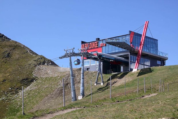
Ascent by gondola lift to the Adlerlounge (2,405 m) – Kals-Matreier-Törl (2,207 m) – Hochtor (2,477 m) – Sudetendeutsche Hütte (2,650 m)
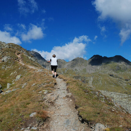
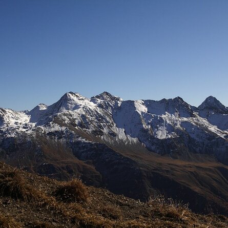
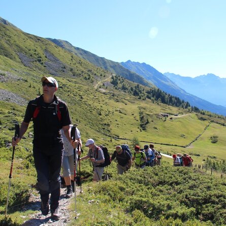
From the Adlerlounge to Kals-Matreier-Törl – descent approx. 30 mins. Trail 502 B runs from Kals-Matreier-Törl to the Hochtor, continuing westwards below the Kendlspitze and past the Dürrenfeldscharte (2,823 m). At the Hochtor, you can enjoy magnificent views in both directions: the Großglockner to the east and the Großvenediger to the west.
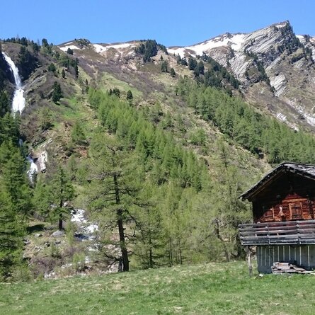
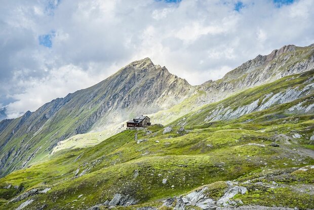
The route then continues as a typical ridge walk, where particular caution is advised. The barren, windswept Dürrenfeld is sure to captivate your senses and ends in the north at the pass of the same name. After a short, steep ascent and descent over rock (secured, but caution is advised!), you’ll reach the Gradötzkar, and via a few hollows and grassy ridges – a picture-perfect landscape shaped by the glacier – you’ll arrive at the Sudetendeutsche Hütte. It’s advisable to book your accommodation in advance.
For the return journey, you should check the operating times of the gondola lift.