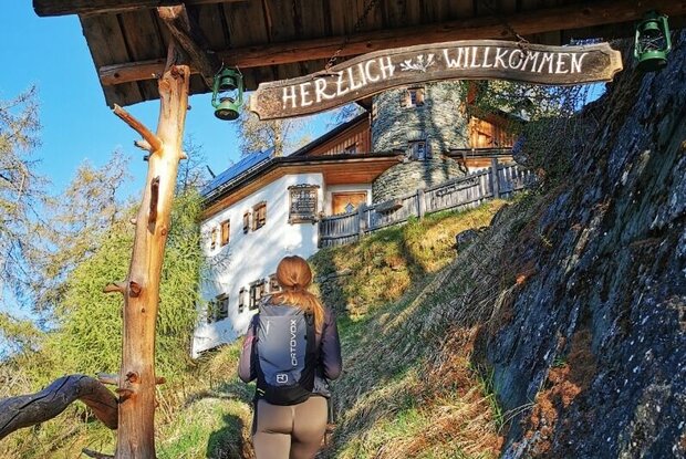
Hiking tour to Stabanthütte 1.777m

Leisurely hike for families

The most important at a glance

distance
3.32 km
altitude meters uphill
🔋
285 m
altitude meters downhill
🔋
285 m
walking time uphill
1:15 h
walking time downhill
45 min
total walking time
2 h
highest point
🞍
1777 m
difficulty
🞽
easy
fitness:

* * * * *

🞙🞙🞙🞙🞙

public transport:

Bus stop Prägraten a.G. Gemeindeamt

parking:

Follow the street Virgener Landesstraße and turn right immediately after the tourist information office Prägraten a.G. Drive up to "Sankt Andrä" and follow this road to the district Bichl. Drive past the apartement house "Innerkratzerhof" and when the road branches off, continue left to reach the parking place Sajat/Stabanhütte.
Parking place Sajat-/Stabanthütte

starting point:
Car park Sajat-/Stabanthütte
destination point:
Car park Sajat-/Stabanthütte
best season:
JUN, JUL, AUG, SEP, OCT

arrival

Stop

Prägraten am Großvenediger Hinterbichl Edelweiß

Prägraten am Großvenediger Hinterbichl

Parking spot

Car park Hinterbichl 1.340m

Car park Bichl (hiking parking lot Stabant-/Sajathütte) 1.490m

altitude profile

Pdf file

Gpx file

Interactive map

Current weather conditions

Sonne-02.png

11°C/52°F °C

Description

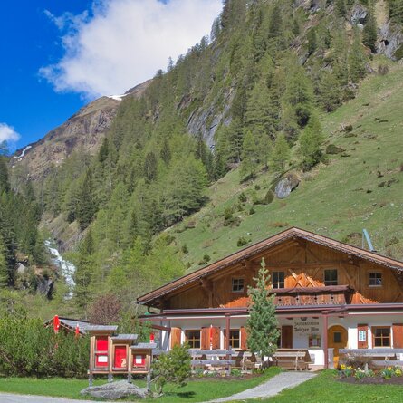
The hiking tour to the hut Stabanthütte starts at the parking place Sajat-/Stabanthütte.

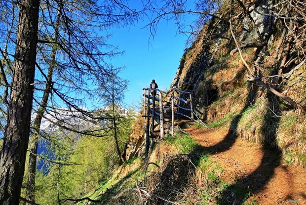
The ascent is suitable for both experienced hikers and more leisurely walkers. On the one hand, the wide road can be used and on the other, the narrow paths through the larch forest.
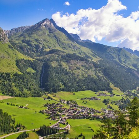
show the overview
Newsletter

Subscribe to our newsletter and receive the best tips every month for current offers, mountain tours, events and much more.