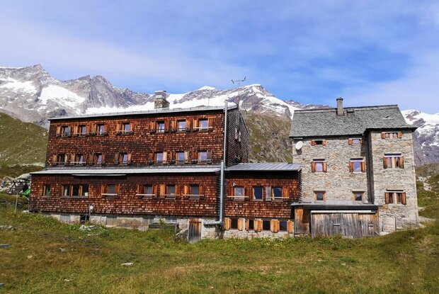
Hiking tour to Essener Rostocker Hütte 2.208m

Towards the ice giants

The most important at a glance

distance
11.58 km
altitude meters uphill
🔋
795 m
altitude meters downhill
🔋
795 m
walking time uphill
2:30 h
walking time downhill
1:30 h
total walking time
4 h
highest point
🞍
2208 m
difficulty
🞽
average
fitness:

* * * * *

🞙🞙🞙🞙🞙

technique:

* * * * *

🞙🞙🞙🞙🞙

public transport:

Bus stop Prägraten a.G. Ströden

parking:

Follow the L24 Virgentalstraße from Matrei through Virgen to Prägraten. Drive as far as the last hamlet, Hinterbichl, cross the bridge at Gasthof Islitzer and continue on to Ströden. Follow the road signs to the Ströden car park. From there, the journey into the Maurertal valley and to the Essener Rostocker Hütte begins.


Car park Ströden
starting point:
Car park Ströden 1.400m
destination point:
Car park Ströden 1.400m
best season:
JUN, JUL, AUG, SEP

arrival

Stop

Prägraten am Großvenediger Hinterbichl Edelweiß

Parking spot

Car park Ströden 1.400m

altitude profile

Pdf file

Gpx file

Interactive map

Current weather conditions

Sonne-04.png

17°C/63°F °C

Description

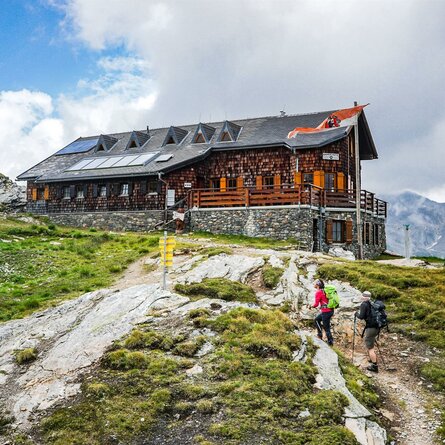
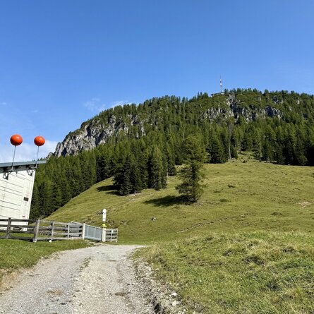
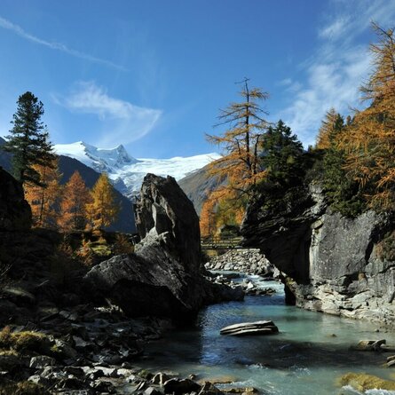
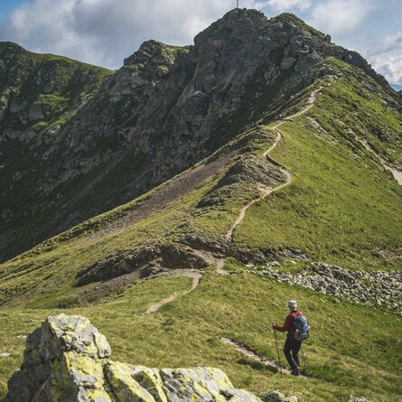
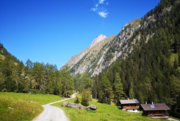
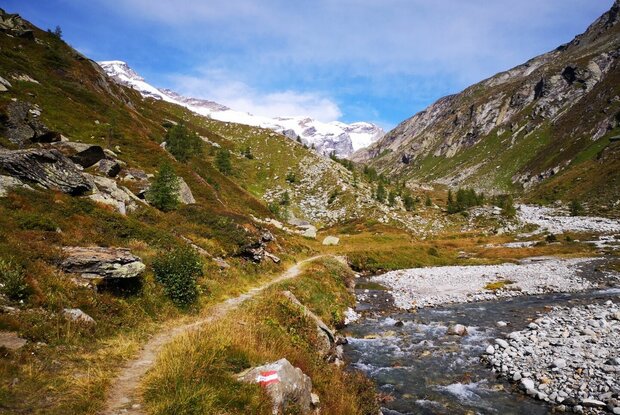
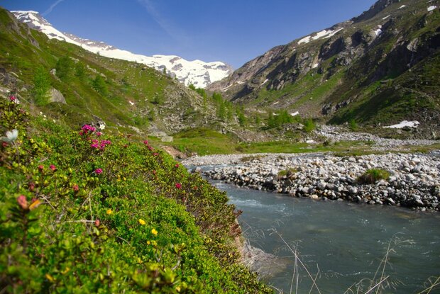
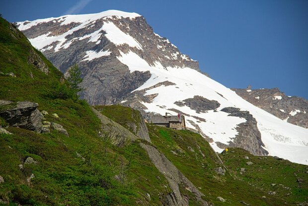
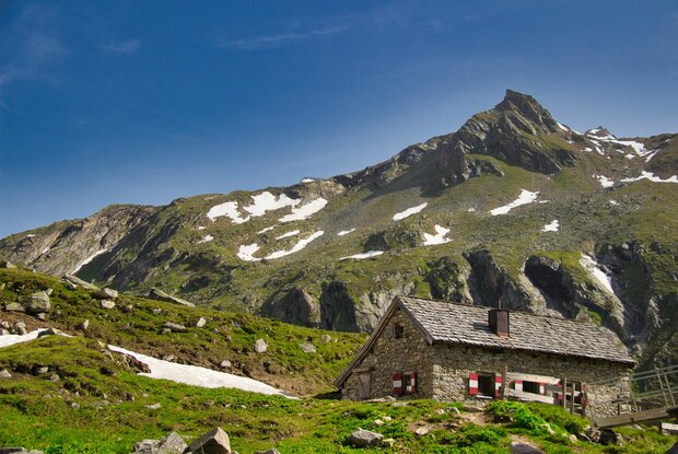
The hiking trail leads from Ströden carpark right into Maurertal Valley, passing by Stoanalm until you reach the lower terminal of the goods cable lift. From here on, walk on into the valley through steep woodland area, which later gets flatter again, until you reach a water catchment that you cross using the bridge. The last section of the hike is moderately steep and leads across a glacial moraine to the mountain lodge.

show the overview
Newsletter

Subscribe to our newsletter and receive the best tips every month for current offers, mountain tours, events and much more.