Hike to Neuen Reichenberger Hütte 2.586m from Virgental

Moderately difficult hike to the Neue Reichenberger Hut

The most important at a glance

distance
18.22 km
altitude meters uphill
🔋
1252 m
altitude meters downhill
🔋
1252 m
walking time uphill
5:20 h
walking time downhill
3:40 h
total walking time
9 h
highest point
🞍
2586 m
difficulty
🞽
average
fitness:

* * * * *

🞙🞙🞙🞙🞙

technique:

* * * * *

🞙🞙🞙🞙🞙

public transport:

Bus stop Prägraten a.G. Ströden

parking:

Follow the L24 Virgentalstraße from Matrei through Virgen to Prägraten. Pass through the hamlets of Bobojach and Wallhorn, through the village centre, and on to Hinterbichl. Cross the bridge by the Islitzer inn and continue to the far end of the valley, as far as Ströden. This is where the walk begins.


Car park Ströden
starting point:
Car park Ströden 1.400m
destination point:
Car park Ströden 1.400m
best season:
JUN, JUL, AUG, SEP

arrival

Parking spot

Car park Ströden 1.400m

altitude profile

Pdf file

Gpx file

Interactive map

Current weather conditions

Sonne-04.png

17°C/63°F °C

Description

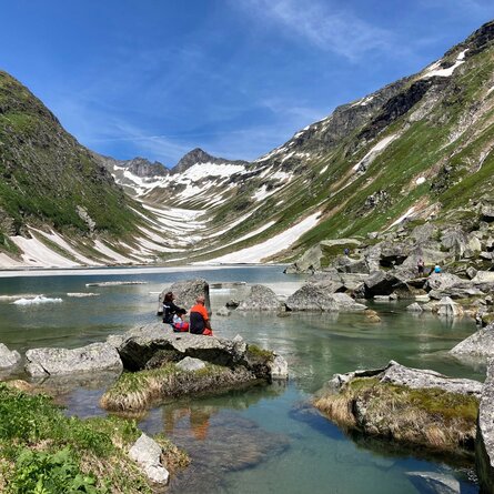
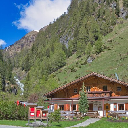
The hike to Neue Reichenberger Hütte starts from Ströden carpark, which is conveniently accessible by post bus. From here, walk across the broad driveway to get to Islitzer- and Pebellalm in half an hour. From here on, the walkway leads through Großbachtal Valley, passing by Stürmitzalm and Großbachalm. All in all, it takes 4 hours to walk up to Neue Reichenberger Hütte, where you will be right away rewarded with a view onto Lake Bödensee.


Neue Reichenberger Hütte is also a perfect place to stop by when you walk the Lasörling High Route or serves as starting point for further excursions to mountain peaks.

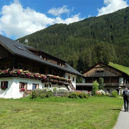
show the overview
Newsletter

Subscribe to our newsletter and receive the best tips every month for current offers, mountain tours, events and much more.