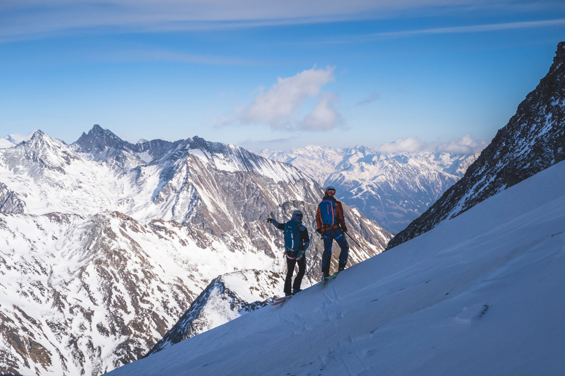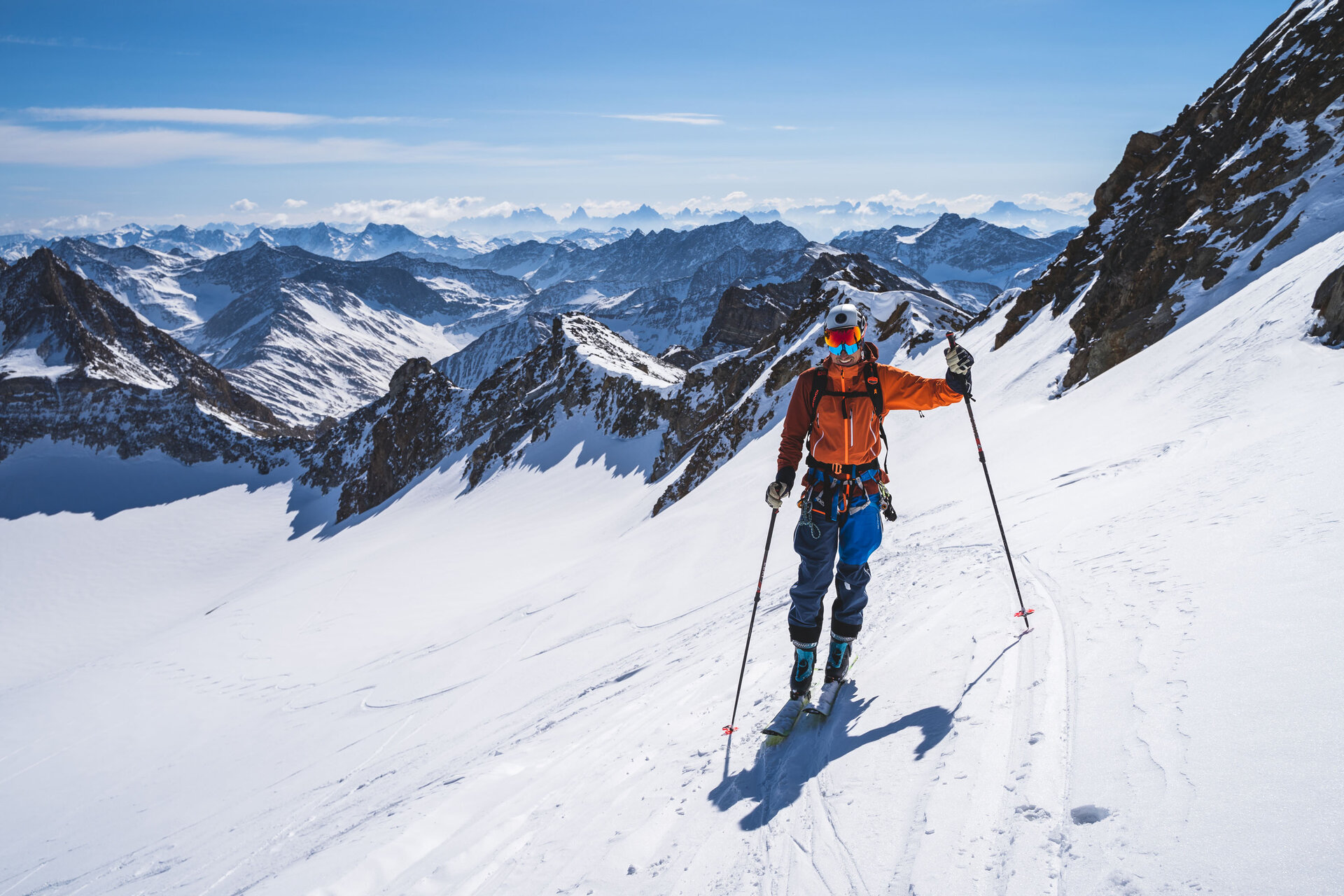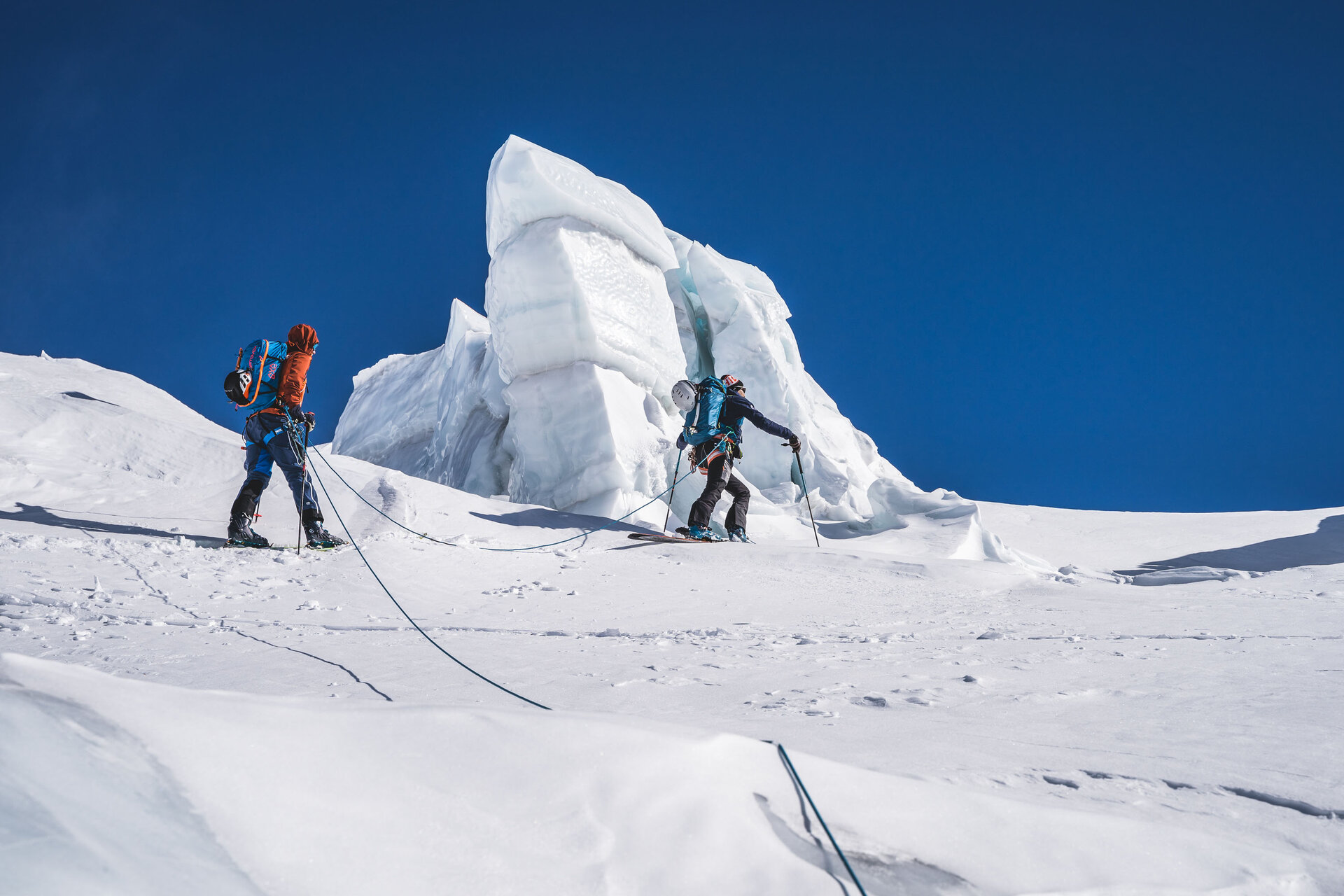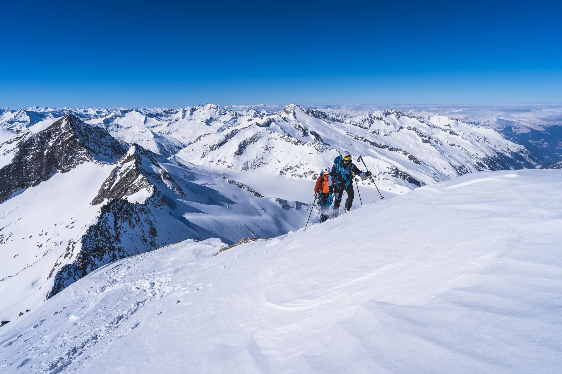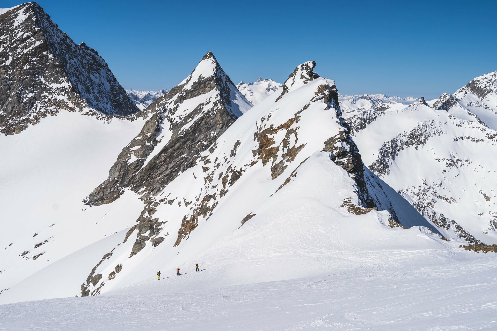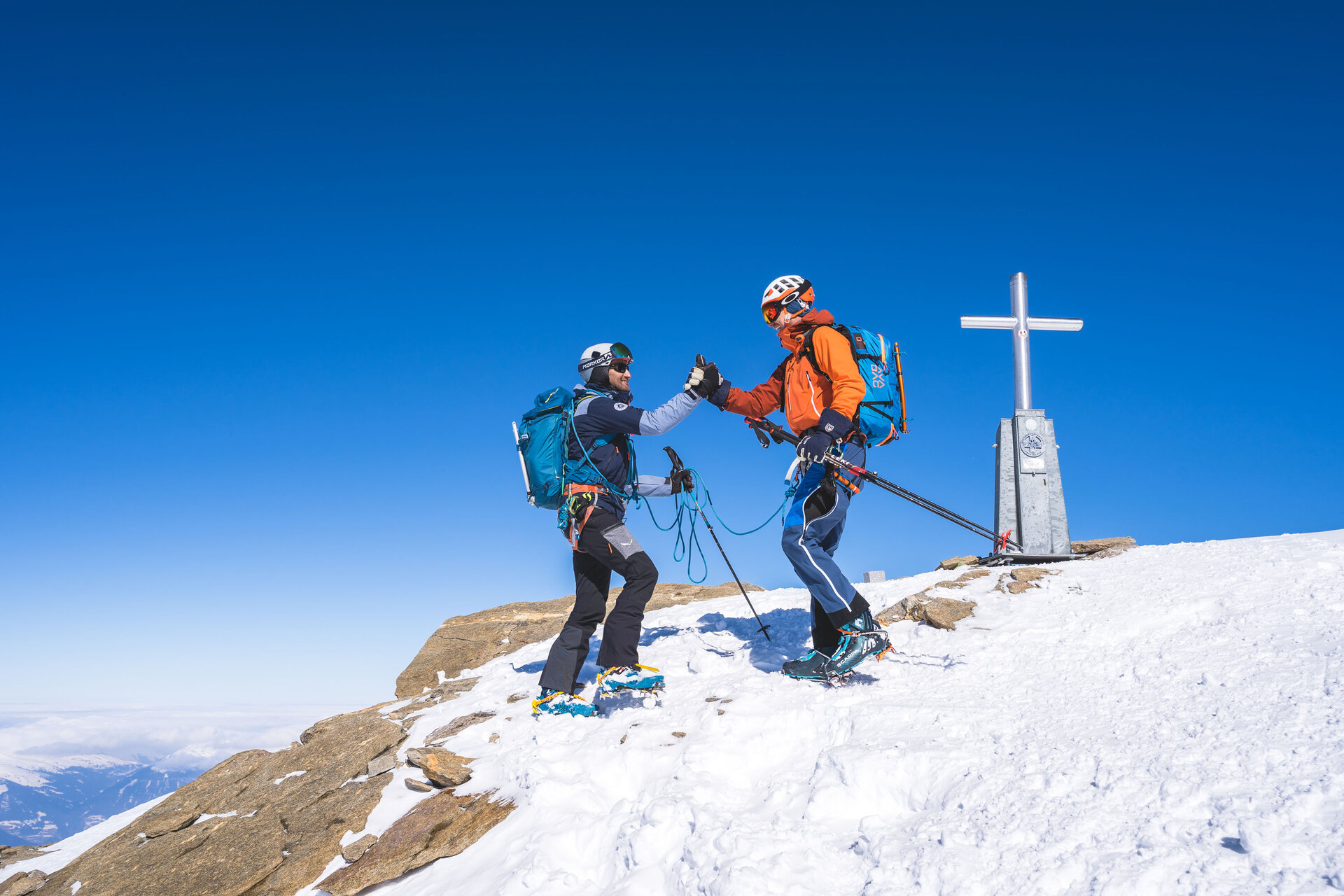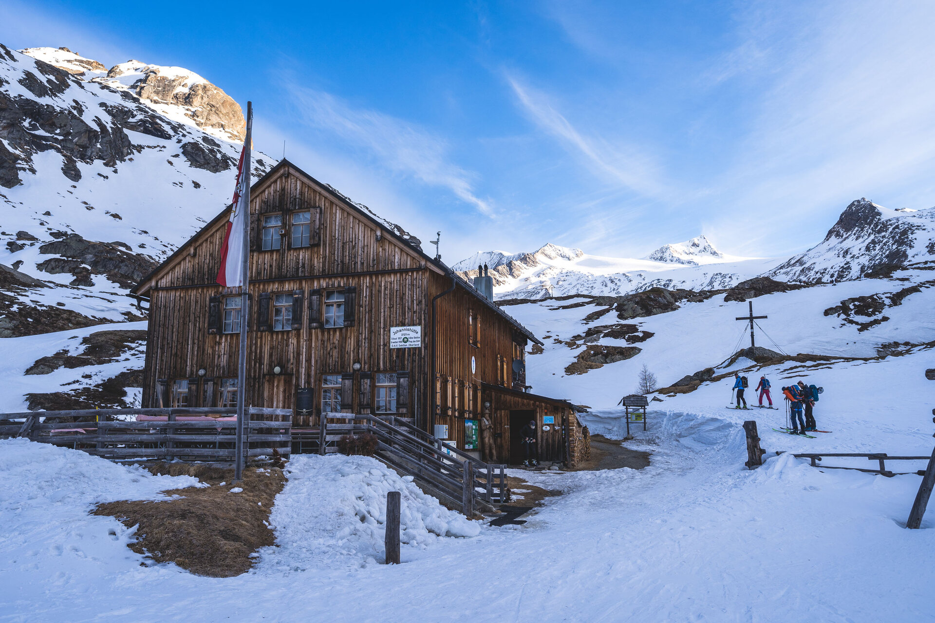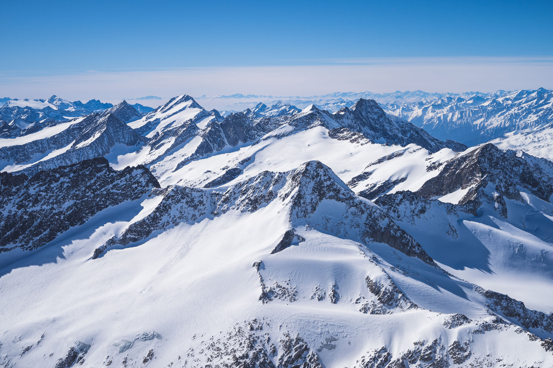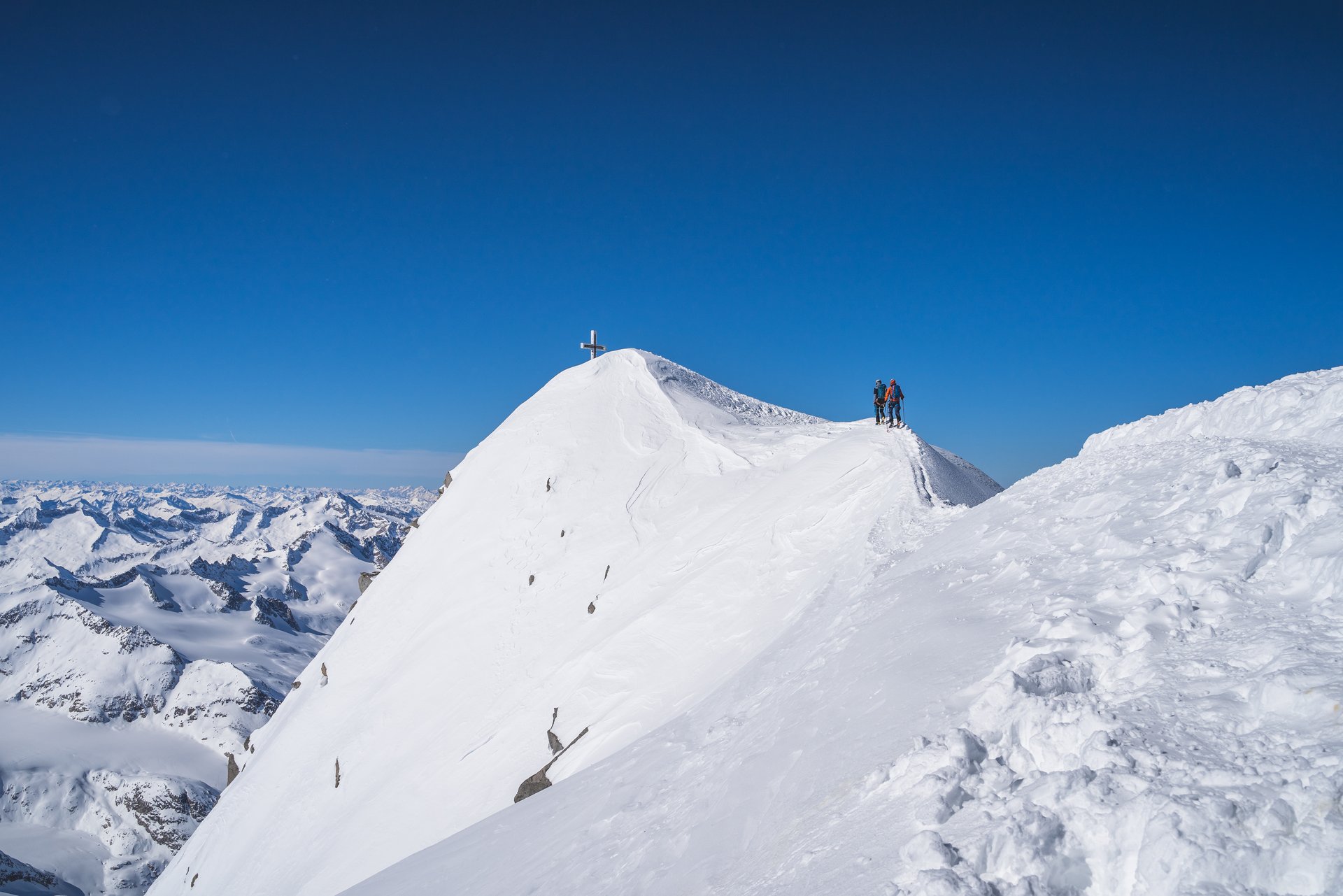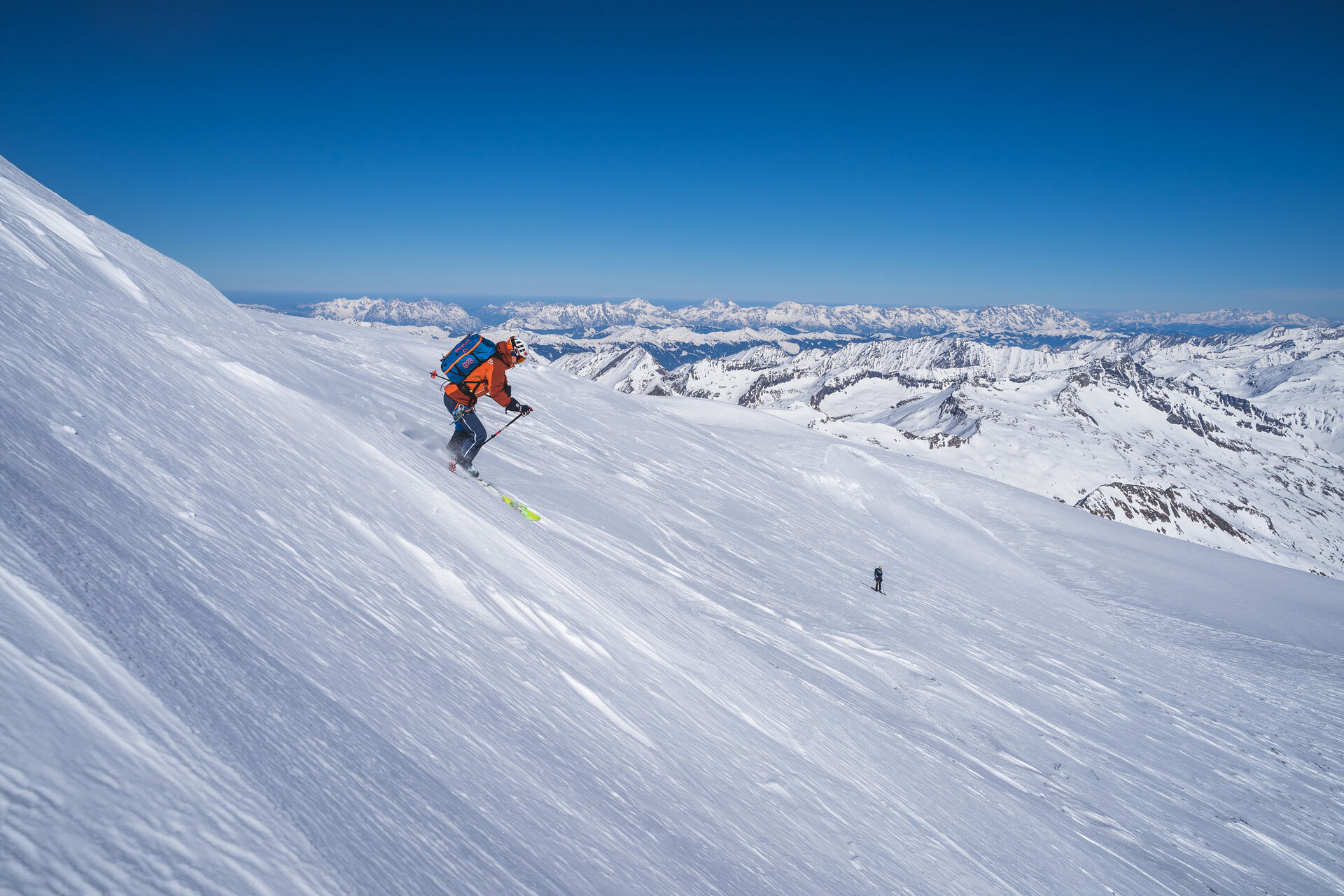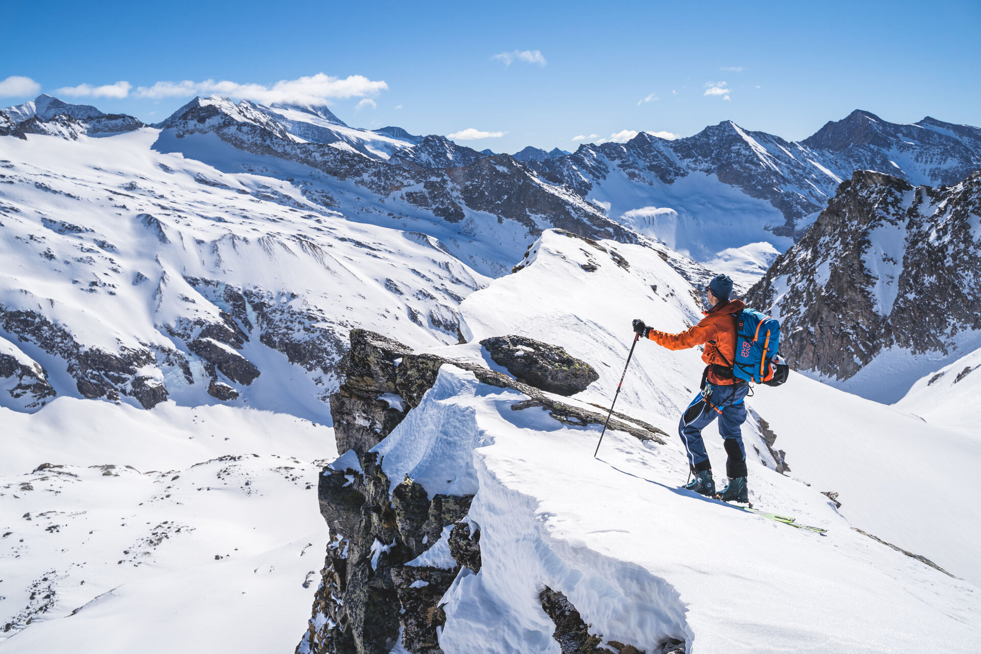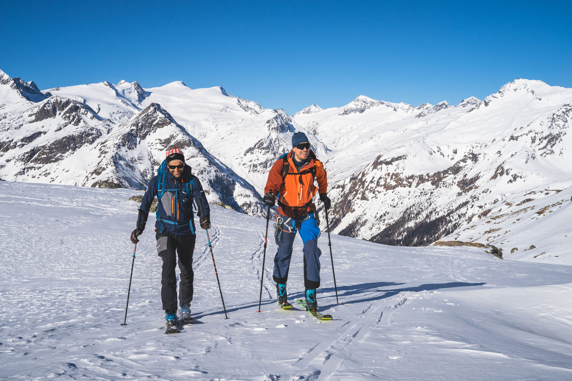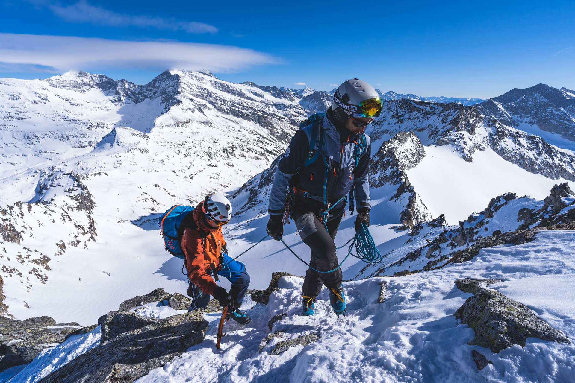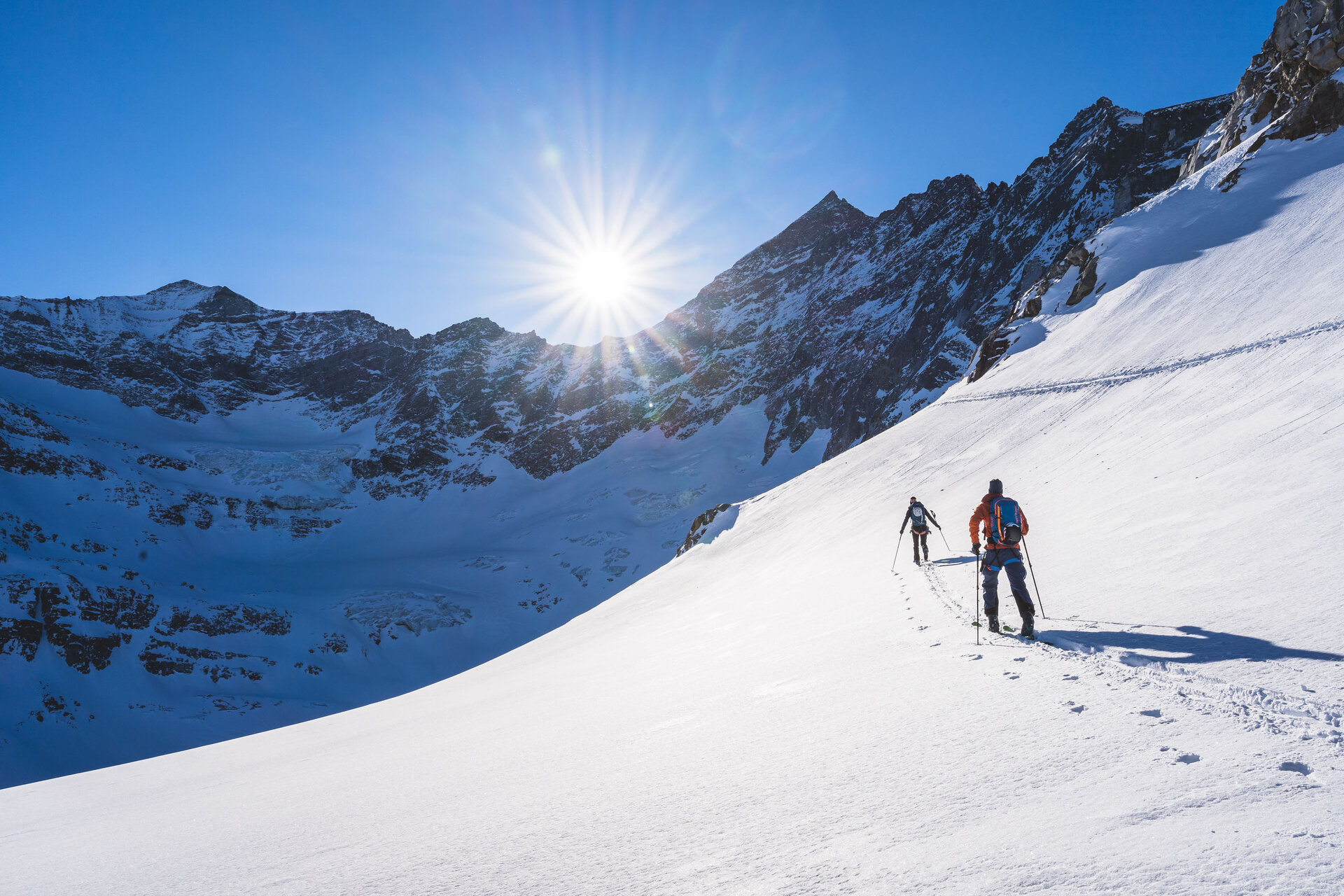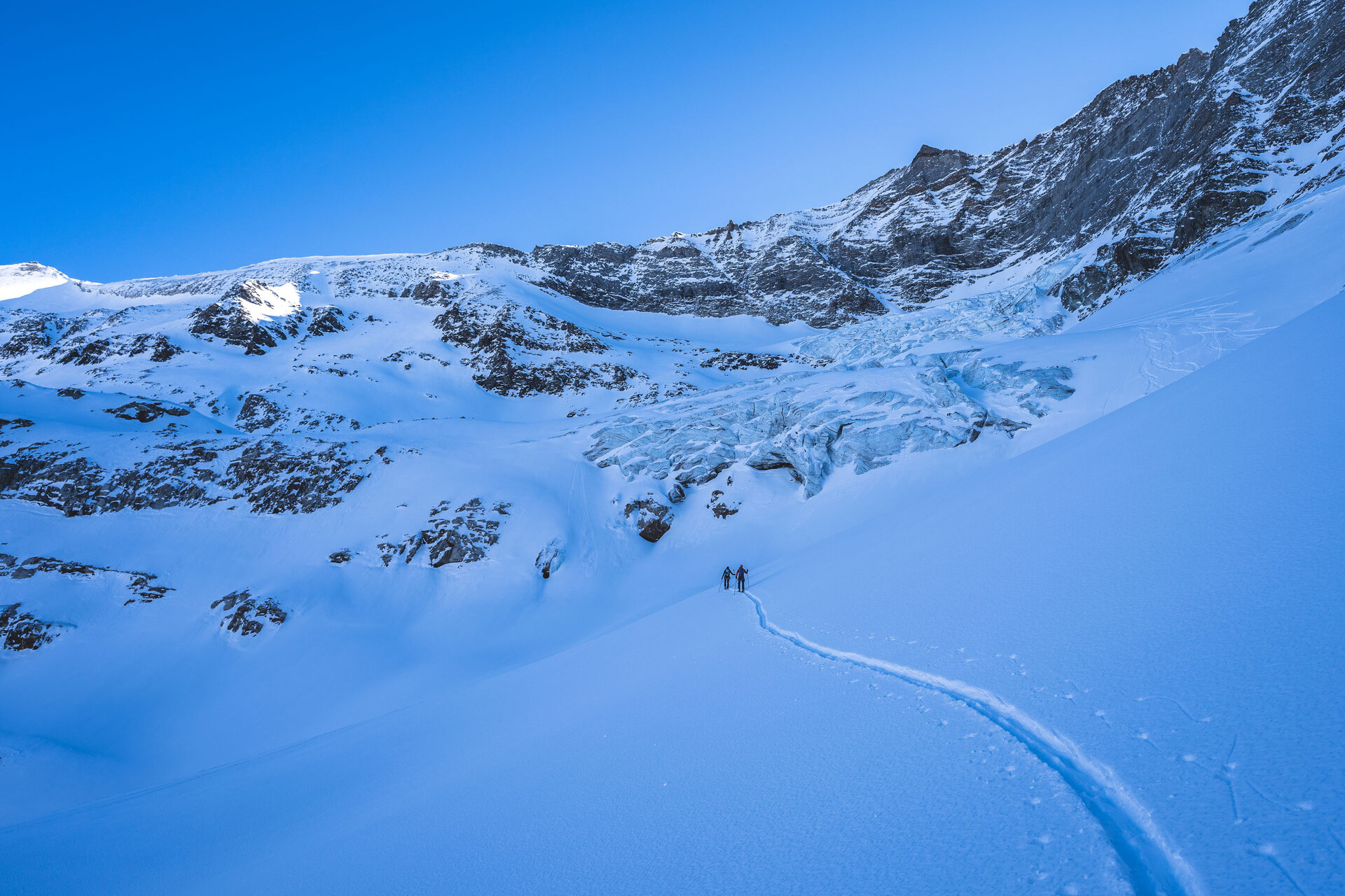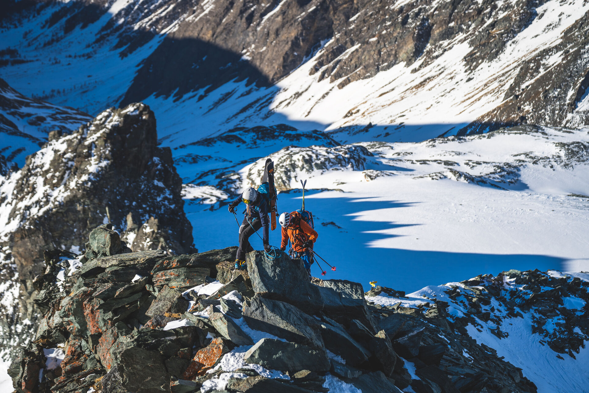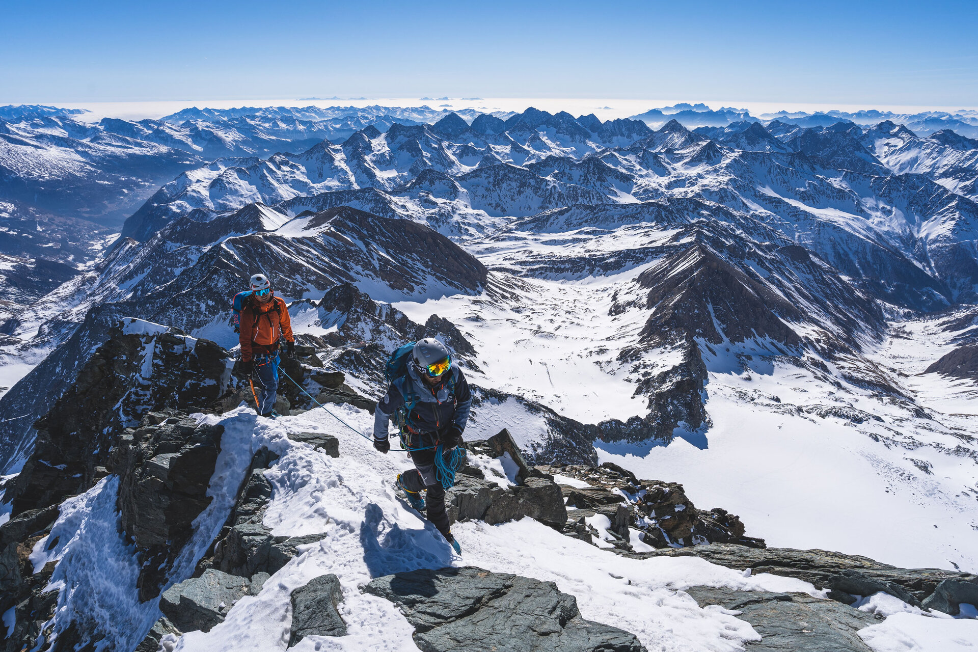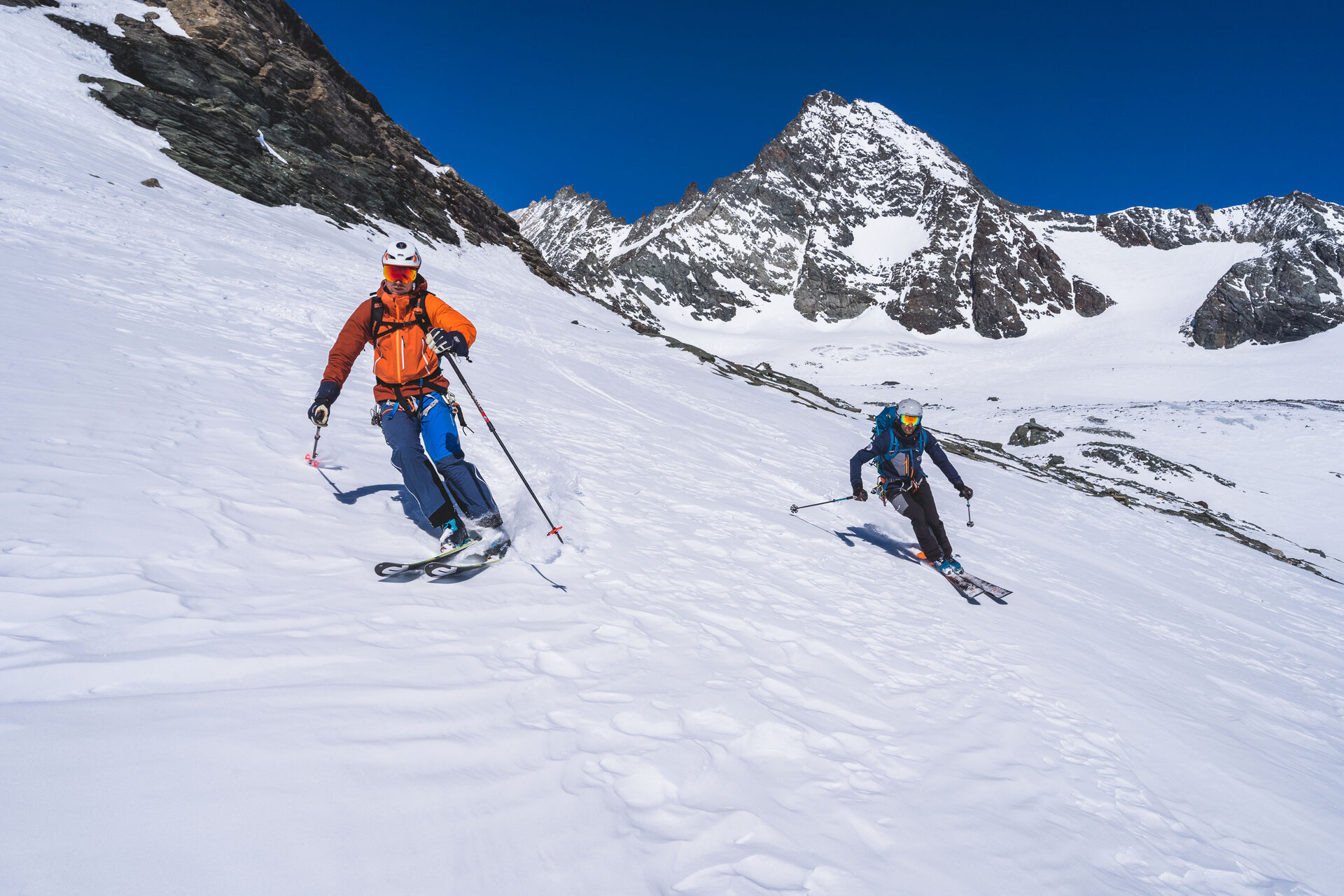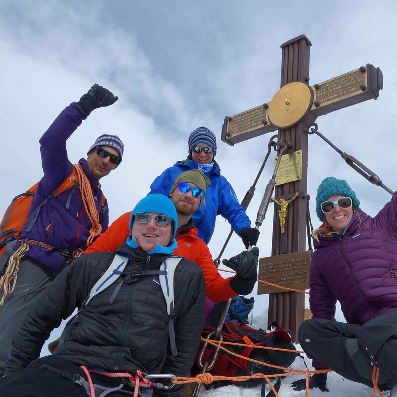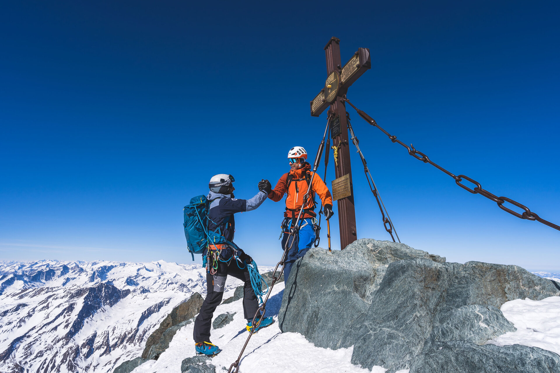
We’ll start in Ströden at the far end of the Virgental valley in Osttirol, rather than in Kasern in the Italian Ahrntal valley, as the classic “Hoch Tirol” route does. This has the advantage of a much shorter transfer from the car parking lot at the end of the route to the starting point. It also allows us to include the Mittlere Malhamspitze (3,364 m) in our itinerary. We set out early into the narrow Maurertal valley. Before long, we have to carry our skis for nearly 400 meters of elevation gain. Although we’re actually out early in the Hoch Tirol season (the huts don’t open until late February), there’s been so little snow and so much wind this season that summer-like conditions already prevail down here. A local—according to our Osttirol mountain guide Toni, a “Prägratener veteran”—passes us at a brisk pace. Finally reaching the snow, we cross the frozen stream to the left side of the valley. At first, we try to follow the tracks of the hiker ahead of us, but his kick turns are so brutally steep that we end up making our own tracks here and there. Now that we’re in the sun, it’s pleasant—the air is cool, and the sun’s rays are warming. As the slope gets a bit steeper, we break out our crampons for the first time—which, surprisingly, will turn out to be perhaps the most important pieces of gear during our tour. After that, we crossthe 3,000-meter mark on a gently rising glacier. The Dolomites come into view, and the panorama of the Osttirol mountains keeps getting better. Once we reach the ridge, we set up a ski depot and easily cover the final stretch on foot. After climbing over 1,900 meters in elevation, we reach the Mittlere Alhamspitze (3,364 m)—our first milestone achieved—and gaze in awe toward the Großglockner on the horizon. It still seems almost impossible to reach it on skis in six days. While Ueli and I gratefully use the break to refuel, Toni goes in search of rocks—he’s a huge fan of minerals.
Menu