The Hoch Tirol Plus Ski Route

The Empress of High-Altitude Ski Tours

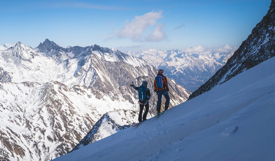
The Hoch Tirol ski route is arguably the most impressive and adventurous high-mountain traverse in the Eastern Alps and, for many ski tourers, likely their greatest dream. The “Hoch Tirol Plus” variant includes a few additional peaks and a bitmoreelevation gain than the original route, bringing the total to over 110 kilometers and 19,886 meters of elevation gain and loss across six stages.


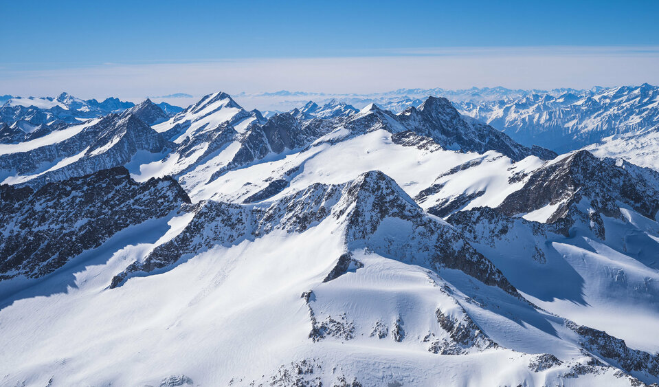
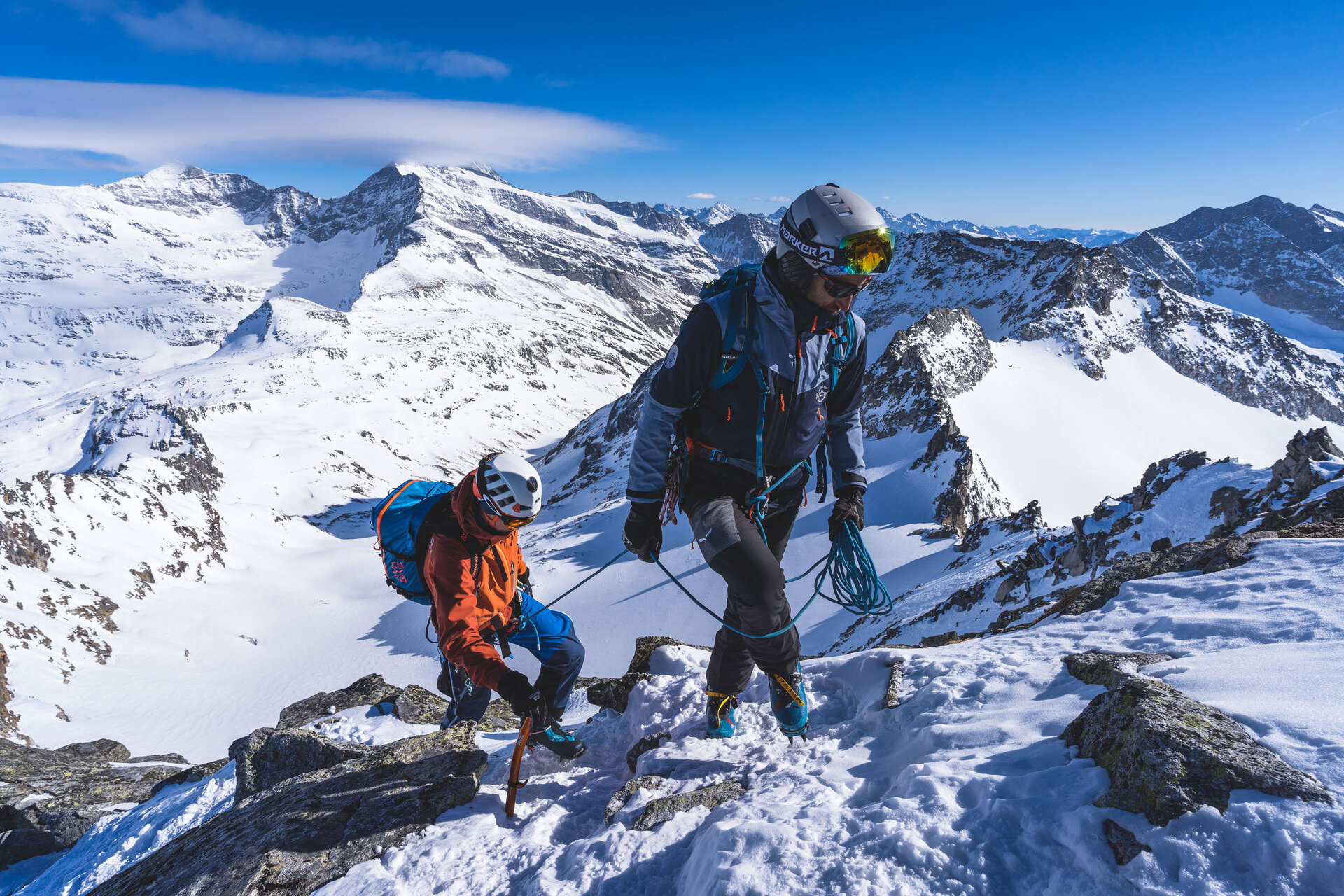
On an impressive route through Osttirol, starting in Ströden —rather than in Kasern in Italy’s Ahrntal, as with the classic Hoch Tirol —the Hoch Tirol Plus connects some of the most famous mountains of the Hohe Tauern and reaches its spectacular finale on the sixth day at Austria’s highest peak, the Großglockner, at 3,798 meters. Every day features peaks and passes above the 3,000-meter mark, and the views stretch from the Dolomites to the Berchtesgaden Alps. On the Hoch Tirol Plus ski route, accommodations are located directly on the mountain, with overnight stays in huts at altitudes above 2,000 meters—and once even at 2,801 meters, at the Stüdlhütte during the fifth stage.


3, 2, 1—Action!

View the Hoch Tirol plus ski route on the interactive map of Osttirol

Hoch Tirol plus

starting point:
Hinterbichl / Ströden
destination point:
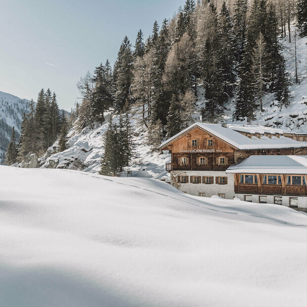
Lucknerhaus
🔋
altitude meters uphill
10112 hm
distance
110.5 km

Lodges along the Hoch Tirol Plus Ski Route

infrastructure.name
open today
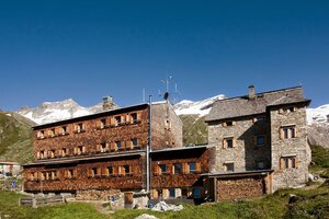
Essener-Rostocker Hütte 2.208m
Maurertal 1
9974 Prägraten am Grossvenediger
infrastructure.name
open today
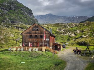
Johannishütte 2.121m
Hinterbichl 19 b
9974 Prägraten a.G.
infrastructure.name
open today
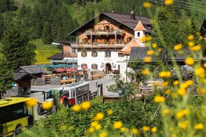
Alpengasthof Matreier Tauernhaus 1.512m
Tauer 22
9971 Matrei in Osttirol
infrastructure.name
open today
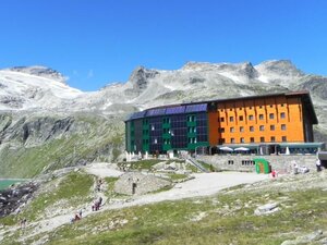
Berghotel Rudolfshütte 2.315m
infrastructure.name
open today
Stüdlhütte 2.802m
Glor-Berg 18
9981 Kals am Großglockner
infrastructure.name
open today
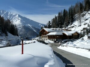
Alpengasthof Lucknerhaus 1.920m
Glor-Berg 16
9981 Kals am Großglockner
back
Next
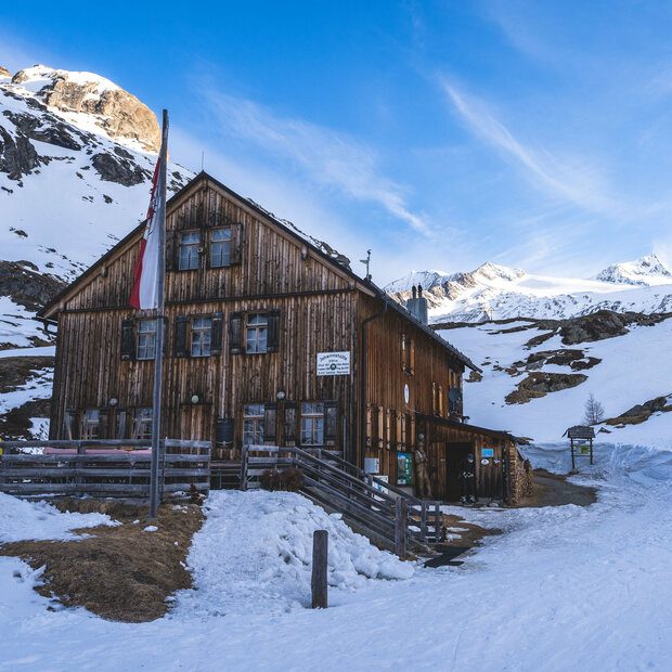
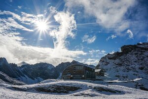
Arrival at the Essen-Rostock Hut
This view awaits you at the end of the first day's stage, after about 7.5 hours of walking and a 1,720 HM climb
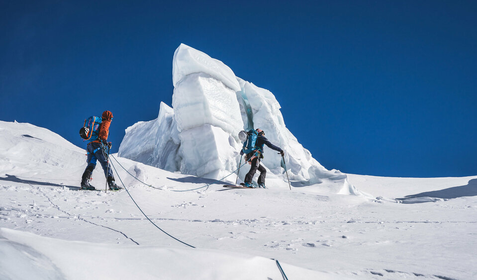
Climbing the Maurerkees
Past gleaming blue-and-white chunks of ice, high up toward the Großer Geiger (3,360 m)
View from the Reggentörl
From left to right: the Zopetspitze and the Hohe Eichham
The Mountains of the Venediger Group
View of the Großer Geiger, the Simonyspitzen, the Dreiherrenspitze, and the Rötspitze
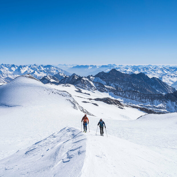
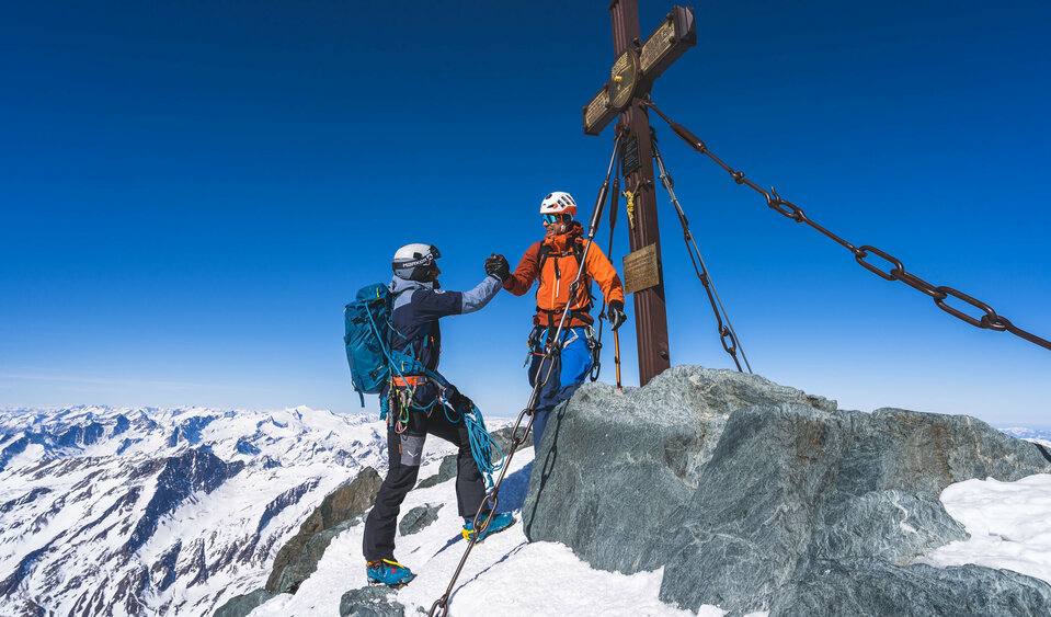
Summit Victory on the Großglockner
The Grand Finale of the Final Stage: On the King's Head
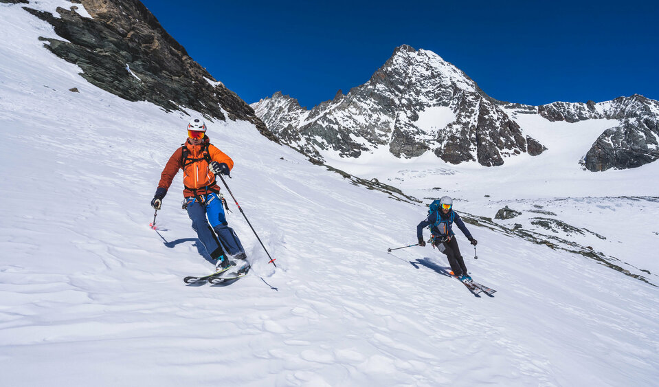
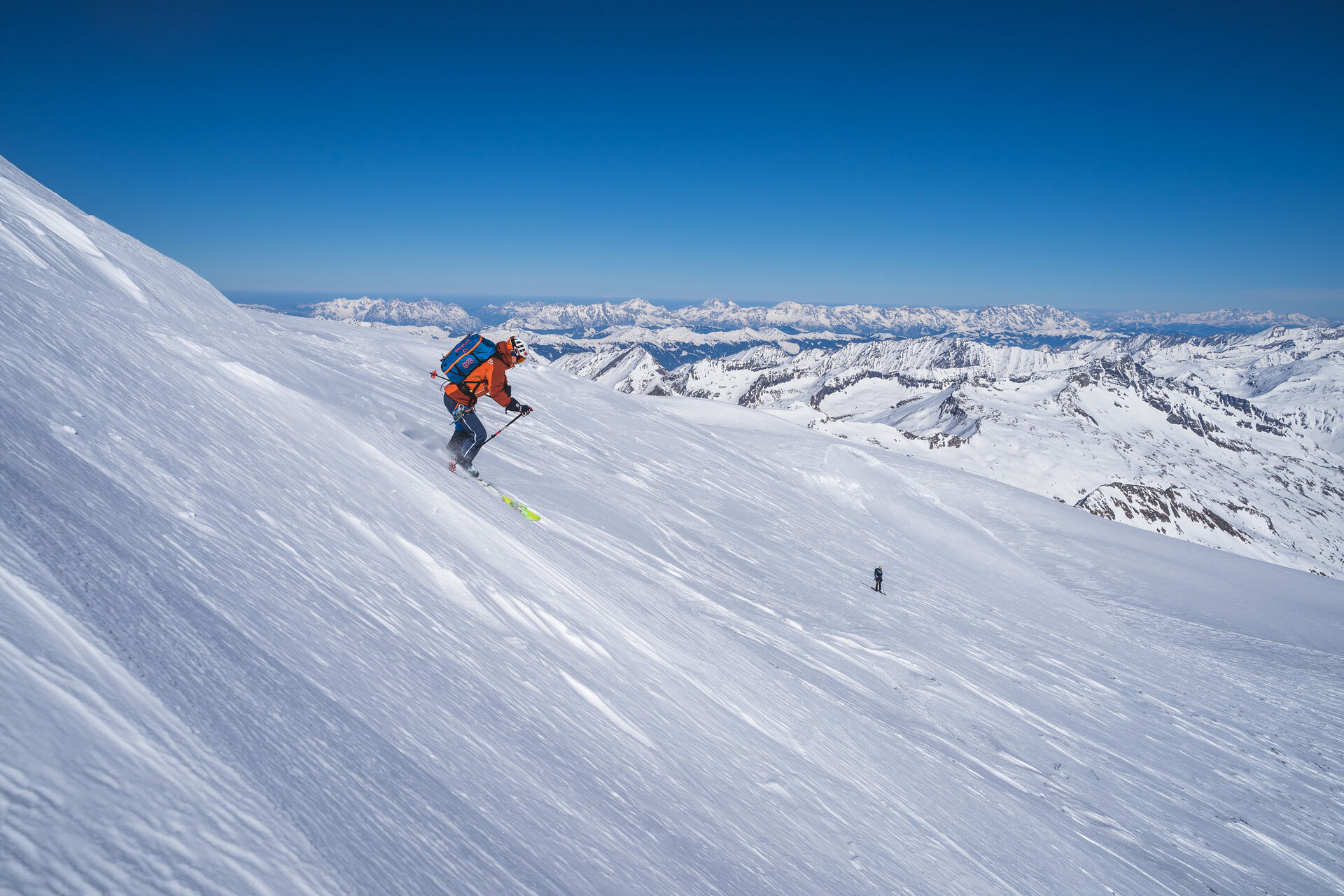
Descent with the Großglockner in the background
The final runs on the Hoch Tirol Plus ski route

More Information

Luggage Transfer: There is no luggage transfer service available on the Hoch Tirol Ski Route.
Current weather conditions: Osttirol Weather
Avalanche conditions: Avalanche report for the Europe Region Tyrol–South Tyrol–Trentino
Current trail conditions and information on trail closures: Contact the respective mountain hut or the tourist information office.

The Summit Log by German Adventurer

Insights into the mind of an experienced ski tourer & helpful information about the Hoch Tirol plus ski route!

Learn more!

The individual stages of the Hoch Tirol plus

The Hoch Tirol plus ski route consists of a total of six stages. The Hoch Tirol plus has its origins in the classic Hoch Tirol ski route. In addition to a few extra peaks, it involves more elevation gain than the original route.

Stage 1: The Start of a New Adventure

The Hoch Tirol plus trail starts in Ströden, not in Kasern in the Italian Ahrntal valley, as the Hoch Tirol trail does.

Hoch Tirol plus: Etappe 1 Prägraten am Großvenediger - Essener-Rostocker-Hütte

starting point:
Hinterbichl / Ströden
destination point:
Essener-Rostocker-Hütte
🔋
altitude meters uphill
2230 hm
distance
19.4 km

Stage 2: Past gleaming blue-and-white glacial giants

The second stage of the Hoch Tirol plus begins at an altitude of 2,207 meters at the Essener-Rostocker Hut. Today’s goals include both the Großer Geiger and the Türmljoch. We’ll spend the night at the Johannishütte.

Hoch Tirol plus: Etappe 1 Prägraten am Großvenediger - Essener-Rostocker-Hütte

starting point:
Essener-Rostocker-Hütte
destination point:
Johannishütte
🔋
altitude meters uphill
1385 hm
distance
14.8 km

Stage 3: High Up to the "Ancient Majesty of the World"

From the Johannishütte , the route leads across impressive glaciers, past the Defreggerhaus, over the Rainertörl, and high up to the Großvenediger, that ancient majesty of the world. Strap on your touring skis and descend into the picturesque Aussergschlöss, passing the Venedigerscharte, the Neue Prager Hütte, and the Alte Prager Hütte.

Hoch Tirol plus: Etappe 2 Essener-Rostocker-Hütte - Johannishütte

starting point:
Johannishütte
destination point:
Matreier Tauernhaus
🔋
altitude meters uphill
1581 hm
distance
24.3 km

Stage 4: Panoramic view of the Venediger Group mountains

The fourth stage involves some elevation gain and two summit conquests. Starting at the Matreier Tauernhaus or directly at the southern portal of the Felbertauern Tunnel, the Hoch Tirol plus route leads to the Amertaler Höhe and the Granatspitze, passing by the Granatscharte.

Hoch Tirol plus: Etappe 1 Prägraten am Großvenediger - Essener-Rostocker-Hütte

starting point:
Matreier Tauernhaus / Felbertauerntunnel Südportal
destination point:
Rudolfshütte
🔋
altitude meters uphill
1952 hm
distance
16.9 km

Stage 5: The Extra Bonus for Hoch Tirol

The early bird catches the worm! Please note: Due to the early morning sun on the eastern slopes, an early start to the stage is recommended . The highlight of the stage is the ascent of the Rosmariswandköpfe at 3,511 m.

Hoch Tirol plus: Etappe 5 Rudolfshütte - Stüdlhütte

starting point:
Rudolfshütte
destination point:
Stüdlhütte
🔋
altitude meters uphill
1650 hm
distance
18.772 km

Stage 6: Cheers to Hoch Tirol plus

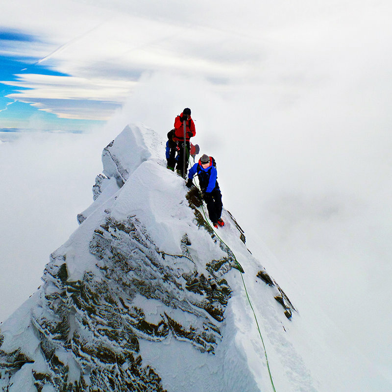
The grand finale of the Hoch Tirol plus ski route— conquering Austria’s highest mountain, the Großglockner. Starting from the Stüdlhütte, the route first heads toward the Kleinglockner via the Glocknerleitl, followed by a descent to the Glockernscharte and a final ascent to the Großglockner. Please note: climbing experience is absolutely required.

Hoch Tirol plus: Etappe 6 Rudolfshütte - Stüdlhütte

starting point:
Stüdlhütte
destination point:
Lucknerhaus
🔋
altitude meters uphill
1250 hm
distance
15.256 km

You might also be interested in this

Zwei Bergsteiger:innen erklimmen den Gipfle des Kleinglockner
Hoch Tirol Ski Trail

The queen of high-altitude ski tours, with many summit conquests and an overwhelming sense of accomplishment

Ein Pärchen in sportlicher Kleidung steigt mit Tourenski im Pulverschnee einen Berg hinauf. Im Hintergrund liegt der Lienzer Talboden.
All Ski Tours in Osttirol

With its 266 peaks over 3,000 meters, Osttirol offers ideal conditions for ski tourers

Newsletter

Subscribe to our newsletter and receive the best tips every month for current offers, mountain tours, events and much more.