EN

Walter Mair Trail Lienzer Talboden - Stage 3

The most important at a glance

distance
13.2 km
altitude meters uphill
🔋
419 m
altitude meters downhill
🔋
359 m
total walking time
4:20 h
highest point
🞍
851 m
difficulty
🞽
easy
fitness:

* * * * *

🞙🞙🞙🞙🞙

technique:

* * * * *

🞙🞙🞙🞙🞙

starting point:
Talstation Hochsteinbahn
destination point:
Talstation Hochsteinbahn
best season:
APR, MAY, JUN, JUL, AUG, SEP, OCT
route typ:
circuit

arrival

Stop

Nikolsdorf Lengberg

Lienz (Tirol) Hochstein/Schloss Bruck

Gaimberg Zettersfeldbahn

Parking spot

Car park Klammbrückl

altitude profile

Pdf file

Gpx file

Interactive map

Current weather conditions

Sonne-01.png

20°C/68°F °C

Description

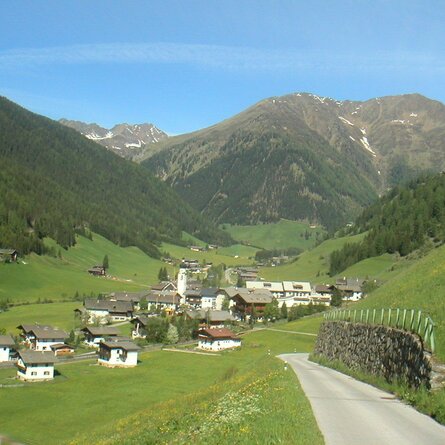
The trail from Chrysanthen near Nikolsdorf, to the Zettersfeldbahn (cable car) station, passes through the four municipal areas of Nikolsdorf, Dölsach, Nußdorf-Debant and Gaimberg. From always a low elevation, you have a view of the large Lienzer Talboden.

show the overview
Newsletter

Subscribe to our newsletter and receive the best tips every month for current offers, mountain tours, events and much more.

en