EN

Tauerntalwanderweg Nr. 925

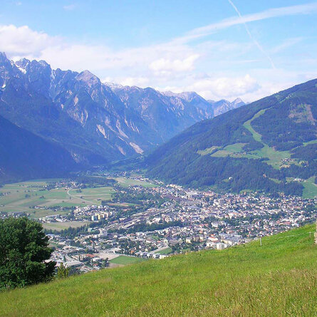
A varied hiking route that follows the Tauernbach stream through the Proßegg Gorge, passing through ancient villages and crossing the most beautiful stretch of the Eastern Alps valley to Innergschlöß.

The most important at a glance

distance
22.1 km
altitude meters uphill
🔋
950 m
altitude meters downhill
🔋
220 m
total walking time
6:45 h
highest point
🞍
1700 m
difficulty
🞽
average
fitness:

* * * * *

🞙🞙🞙🞙🞙

technique:

* * * * *

🞙🞙🞙🞙🞙

public transport:

Bus stop Matrei i. O. Korberplatz ( start of the route

Bus stop Matreier Tauernhaus
parking:

Car park Korberplatz

starting point:
Matrei i.O. 925m
destination point:
Venedigerhaus Innergschöß 1.691m
best season:
JUN, JUL, AUG, SEP, OCT

arrival

Stop

Matrei in Osttirol Korberplatz

altitude profile

Pdf file

Gpx file

Interactive map

Current weather conditions

Gewitter-00-05.png

31°C/88°F °C

Description

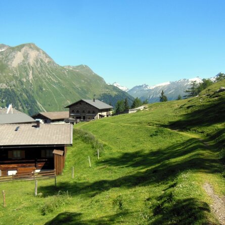
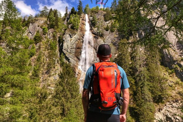
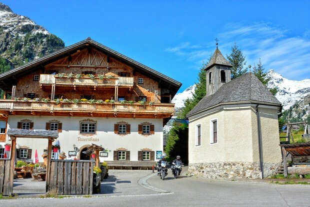
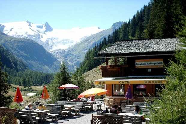
This beautiful walking trail leads from Matrei in East Tyrol, following the Tauernbach stream towards Proßegg, through the Proßegg Gorge and on along the shaded side via Gruben and Berg to Raneburg; from there, it heads towards Landeck and, after passing the Schildalm, reaches the Matreier Tauernhaus. After the Wohlgemuth Alms, the hiking trail leads over the Hohe Achsel to Außergschlöß and through wild and romantic countryside to Innergschlöß.

show the overview
Newsletter

Subscribe to our newsletter and receive the best tips every month for current offers, mountain tours, events and much more.